Project
Community
News
My maps
Carte cataloguée
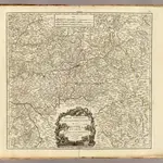
Guienne Orientale.
Titre complet:
Guienne Orientale.
Éditeur:
Les Auteurs
Échelle de la carte:
1:416 000
L'histoire