Maps of Europe
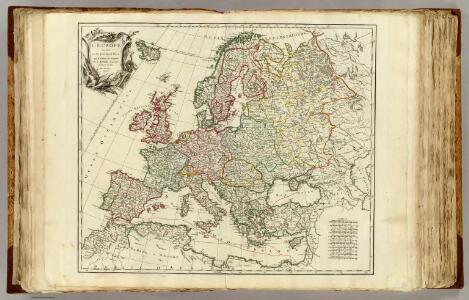
L'Europe divisee en ses principaux Etats.
1 : 9500000 Robert de Vaugondy, Gilles, 1688-1766
Storchova nejnovější politická, cestovní, železniční a paroplavební mapa Evropy

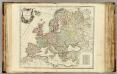
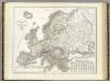
L'Europe
1 Karte : Kupferdruck ; 47 x 57 cm chez I. Cóvens et C. Mortier
Europa
1 Karte : Kupferdruck ; 48 x 58 cm Valck; Valck G. und L. Valck
L'Europe
1 Karte : Kupferdruck ; 47 x 57 cm Jaillot Alexis Hubert Jaillot
L'Europe
1 Karte : Kupferdruck ; 46 x 57 cm Valck chez Gerard Valck sur le Dam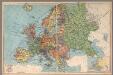
Europe
1 : 13100000 Geographia Map Company
L'Europe (nom, maison, religion, etc. des souverains)
1 : 14000000 Dangeau, abbe de, 1643-1723
L'Europe (nom, maison, religion, etc. des souverains)
1 : 14000000 Dangeau, abbe de, 1643-1723
(Nom, maison, religion en Europe - outline)
1 : 14000000 Dangeau, abbe de, 1643-1723
Nom, maison, religion en Europe.
1 : 14000000 Dangeau, abbe de, 1643-1723
L'Europe (nom, maison, religion, etc. des souverains - outline)
1 : 14000000 Dangeau, abbe de, 1643-1723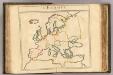
L'Europe (nom, maison, religion, etc. des souverains - outline)
1 : 14000000 Dangeau, abbe de, 1643-1723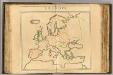
L'Europe (vents - outline)
1 : 14000000 Dangeau, abbe de, 1643-1723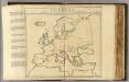
L'Europe, les viles.
1 : 14000000 Dangeau, abbe de, 1643-1723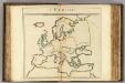
L'Europe (mers, fleuves, montagnes - outline).
1 : 14000000 Dangeau, abbe de, 1643-1723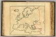
(L'Europe, confins - outline).
1 : 14000000 Dangeau, abbe de, 1643-1723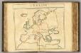
L'Europe (les viles - outline).
1 : 14000000 Dangeau, abbe de, 1643-1723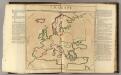
L'Europe (vents)
1 : 14000000 Dangeau, abbe de, 1643-1723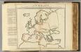
L'Europe mers, fleuves, montagnes.
1 : 14000000 Dangeau, abbe de, 1643-1723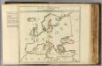
L'Europe, confins.
1 : 14000000 Dangeau, abbe de, 1643-1723
Orograph. Europa.
1 : 8900000 Weiland, C. F. (Carl Ferdinand), d. 1847
Composite: Europe.
1 : 4800000 Kitchin, Thomas
L'Europe
1 Karte : Kupferdruck ; 40 x 54 cm Sanson; Sanson chez l'autheur au galleries du Louure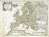
L'Europe
1 Karte : Kupferdruck ; 41 x 54 cm Sanson; Sanson chez l'autheur
Wandkarte von Europa
Dánsko Dewald, Georg August Stephan Buchner, G. P. Palm'sche Verlagsbuchhandlung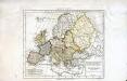
Europæ antiquæ tabula geographica
1 Karte : Kupferdruck ; 23 x 27 cm Delamarche; Delahaye s.n.
Evropae
Ortelius, Abraham [Aegidius C. Diesth]