Maps of St. Marys

Maps of St. Marys

$title$

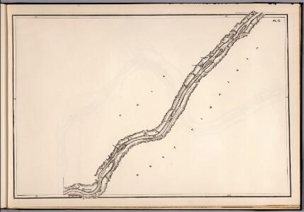
No. 12: Map Of The Ohio River

1 : 47639 Moser, C.
$title$

Upper Ohio River and Valley part IX, 136 to 151 miles below Pittsburgh ... (with) Sistersville, West Virginia; Cochransville, O.; Grandview, O.; Matamoras, Ohio.

1 : 31680 Hayes, Eli L.
$title$

Raven Rock

1 : 24000
$title$

Bens Run

1 : 24000
$title$

Raven Rock

1 : 24000
$title$

Bens Run

1 : 24000
$title$

Raven Rock

1 : 24000
$title$

Bens Run

1 : 24000
$title$

Raven Rock

1 : 24000
$title$

Bens Run

1 : 24000
$title$

Bens Run

1 : 24000
$title$

Bens Run

1 : 24000
$title$

Rinard Mills

1 : 24000
$title$

New Matamoras

1 : 24000
$title$

Rinard Mills

1 : 24000
$title$

New Matamoras

1 : 24000
$title$

New Matamoras

1 : 24000
$title$

Rinard Mills

1 : 24000
$title$

Rinard Mills

1 : 24000
$title$

Rinard Mills

1 : 24000
$title$

New Matamoras

1 : 24000
$title$

New Matamoras

1 : 24000
$title$

New Matamoras

1 : 24000
$title$

New Matamoras

1 : 24000
$title$

Saint Marys

1 : 62500
$title$

St Marys

1 : 62500
$title$

St Marys

1 : 62500
$title$

St Marys

1 : 62500
$title$

St Marys

1 : 62500
$title$

St Marys

1 : 62500
$title$

Saint Marys

1 : 62500
© MapTiler © OpenStreetMap contributors
How does it work?
These instructions will show you how to find historical maps online.
Getting started
Type the place name in the search box to find the exact location. You can further adjust the search by zooming in and out.
Zoom
Zoom in and out with the buttons or use your mouse or touchpad natively.
Exact Area tool
Click here and draw a rectangle over the map to precisely define the search area.
Set filters
Narrow your search with advanced settings, such as Years (from/to), Fulltext, Publisher, etc.
Results
See the results of your search on the right side. You can scroll down to find more maps of this location.
?

Download OldMapsOnline Mobile