Maps of Poland

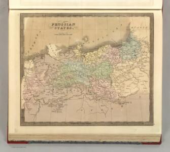
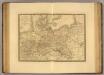
Prussian States.
1 : 3900000 Greenleaf, Jeremiah
Prussian States.
1 : 3900000 Greenleaf, Jeremiah
Preussen
North German Confederation and Prussia.
1 : 2217600 Fullarton, A. & Co.
[Historisch-geographischer Atlas zu den allgemeinen Geschichtswerken von C. v. Rotteck, Pölitz u. Becker] : Preussen eine Uebersicht der Bildung und der Hauptbegebenheiten dieses Staates
von Julius Loewenberg Lithographie von B. Herder in Freiburg im Breisgau [Freiburg im Breisgau] : [Herder]
Karte von Preussen
1 : 2300000 Prusko Tranquillo Mollo
Karte von Preussen
1 : 2300000 Prusko Mollo, Tranquillo Tranquillo Mollo
Monarchie Prussienne.
Andriveau-Goujon, J.

X. Seit 1861
Preußen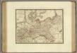
Monarchie Prussienne.
1 : 2400000 Brue, Adrien Hubert, 1786-1832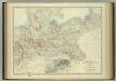
Empire of Germany (northern portion).
1 : 2032000 Johnston, W. & A.K.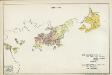
V. 1688 - 1740
Brandenburg, Preußen
Carte Generale du Royaume de Prusse.
1 : 3000000 Vivien de St Martin, L.
Prusse.
1 : 4100000 Malte-Brun, Conrad, 1775-1826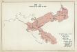
VIII. 1807 - 1815. Preußen nach dem Frieden von Tilsit
Preußen Tilsit / Friede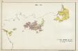
III. 1608 - 1619
Brandenburg Expansion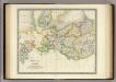
Prussia with Part of Poland.
1 : 2900000 Teesdale, Henry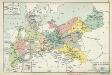
XI. Die Provinzen des Königreichs Preußen mit den Regierungsbezirken
Preußen Verwaltungsgliederung
General-Karte von dem Preussischen Staate
1 : 1850000 Neuchâtel-oblast (Švýcarsko) Weiland, Karl Ferdinand im Verlage des geograph. Instituts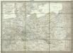
General-Karte von dem Preussischen Staate
1 : 1850000 Neuchâtel (Švýcarsko) Weiland, Karl Ferdinand im Verlage des geograph. Instituts
Allgemeine Postkarte von der Preussischen Monarchie zur Uebersicht
Prusko Stenger, Johann im von Reillyschen Landkarten und Kunstwerke Verschleiss Komptoir

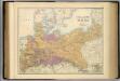
Prussian States.
1 : 5200000 Arrowsmith, Aaron; Lewis, Samuel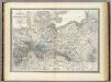
Preussische Staate.
1 : 1800000 Weiland, C. F. (Carl Ferdinand), d. 1847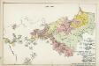
VII. 1786 - 1806
Preußen
Monarchie Prussienne.
1 : 2400000 Picquet, C.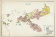
VI. 1740 - 1786
Preußen
Prussia.
1 : 4118400 Tallis, J. & F.