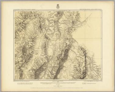
Maps of Lander County

48D. Part Of Central Nevada.
1 : 253440 Wheeler, G.M.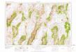
Millett
1 : 250000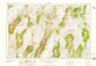
Millett
1 : 250000
Millett
1 : 250000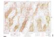
Millett
1 : 250000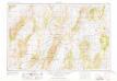
Millett
1 : 250000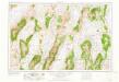
Millett
1 : 250000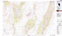
Smith Creek Valley
1 : 100000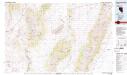
Smith Creek Valley
1 : 100000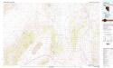
Edwards Creek Valley
1 : 100000
Dianas Punch Bowl
1 : 62500
Dianas Punch Bowl
1 : 62500
Dianas Punch Bowl
1 : 62500
Wildcat Peak
1 : 62500
Wildcat Peak
1 : 62500
South Shoshone Peak
1 : 62500
South Shoshone Peak
1 : 62500
South Shoshone Peak
1 : 62500
North Shoshone Peak
1 : 62500
North Shoshone Peak
1 : 62500
North Shoshone Peak
1 : 62500
Millett Ranch
1 : 62500
Millett Ranch
1 : 62500
Spencer Hot Springs
1 : 62500
Spencer Hot Springs
1 : 62500
Spencer Hot Springs
1 : 62500
Hickison Summit
1 : 62500
Hickison Summit
1 : 62500
Hickison Summit
1 : 62500
Austin
1 : 62500
Austin
1 : 62500