Maps of Germany
Composite: Allemagne.
1 : 2000000 Andriveau-Goujon, J.
Allemagne.
1 : 3300000 Lapie, M. (Pierre), 1779-1850
Deutschlands geschichtlich geographischer Zeitraum von 158 v. Chr. bis 260 n. Chr
Evropa střední Ehrenkreutz, I. V.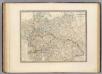
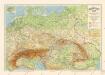
L'Allemagne, l'Europe centrale.
1 : 3460000 Andriveau-Goujon, J.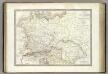
Germanie Ancienne.
1 : 3300000 Lapie, M. (Pierre), 1779-1850
Die Ältesten Karten von Deutschland

Fluss- u. Gebirgs-Karte, Mittel-Europa.
1 : 4500000 Flemming, Carl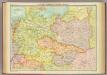
Central European states - political.
1 : 3000000 John Bartholomew and Son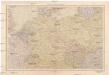
Střední Evropa
1 : 4500000 Evropa střední V. Neubert a synové
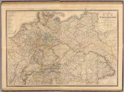
Karte des Deutschen Reichs
Schmidt, Johann Marius Friedrich; Jäck Schropp
R.A. Schulz's neue praktische Reise-Karte mit Angabe der Distanzen
Anglie Schulz, R. A. Biller, Dominik Artaria
Prussia, and the German States.
from New general atlas.
Europe Centrale.
1 : 4100000 Montemont, A.
Carte Generale D'Allemagne.
1 : 4600000 Vivien de St Martin, L.
Übersichtskarte der Verbreitung der Deutschen in Europa
Evropa Kiepert, Heinrich Haas, František Dietrich Reimer
Neue Ausgabe von Schulz's praktischer Reise-Karte mit Angabe der Distanzen und Eisenbahnen
Evropa střední Schulz, R. A. Artaria & Co.
Mitteleuropa während des 30 jährigen Krieges.
Evropa střední Benecke Bormann, E. F. Tempsky
R.A. Schulz's neue praktische Reise-Karte mit Angabe der Distanzen
Evropa střední Schulz, R. A. Biller, Dominik Artaria & Co.
R.A. Schulz's neue praktische Reise-Karte mit Angabe der Distanzen
Evropa střední Schulz, R. A. Artaria & Co.
Mitteleuropa am Ende des 30 jährigen Krieges
Evropa střední F. Tempsky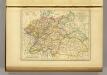
l'Allemagne par Cercles in 1789.
1 : 6300000 Malte-Brun, Conrad, 1775-1826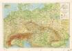
Příruční mapa střední Evropy

Carte élémentaire et statistique de l'Allemagne
1 : 2700000 Brion de La Tour, Louis Brion & Maire
Közép-Európa
1 : 5000000 Evropa střední Állami kiadóhivatal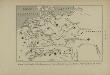
Peuples de la Germanie au 1er siècle de notre ère, selon Tacite
Mitteleuropa Germanien ethnische Gruppe Germanen Tacitus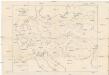
Karte der floss- und schiffbaren Flüsse von Mittel-Europa
1 : 3000000 Evropa střední Jelussig, Othmar Kiepert, Heinrich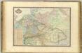
Europe Centrale.
1 : 3000000 Garnier, F. A., 1803-1863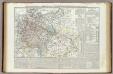
Carta generale della Germania ossia Confederazione Germanica.
1 : 3500000 Marzolla, Benedetto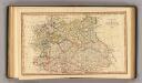
Central states Europe.
1 : 9000000 Fenner, Rest.