Maps of Germany
L'Allemagne, l'Europe centrale.
1 : 3460000 Andriveau-Goujon, J.
Germanie Ancienne.
1 : 3300000 Lapie, M. (Pierre), 1779-1850
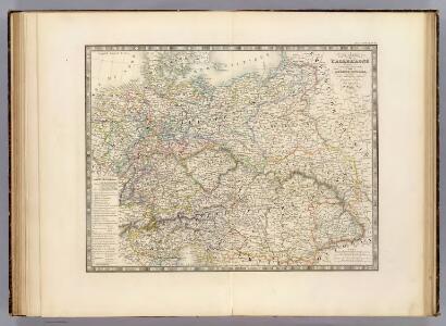
Allemagne.
1 : 3300000 Lapie, M. (Pierre), 1779-1850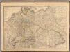
Composite: Allemagne.
1 : 2000000 Andriveau-Goujon, J.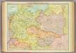
Central European states - political.
1 : 3000000 John Bartholomew and Son
Europe Centrale.
1 : 4100000 Montemont, A.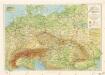
Příruční mapa střední Evropy

Közép-Európa
1 : 5000000 Evropa střední Állami kiadóhivatal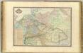
Europe Centrale.
1 : 3000000 Garnier, F. A., 1803-1863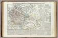
Carta generale della Germania ossia Confederazione Germanica.
1 : 3500000 Marzolla, Benedetto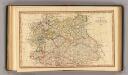
Central states Europe.
1 : 9000000 Fenner, Rest.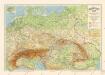
Grossdeutsches Reich und angrenzende Gebiete
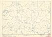
Soubor němých map pro střední školy

Carte Generale D'Allemagne.
1 : 4600000 Vivien de St Martin, L.
Deutschlands geschichtlich geographischer Zeitraum von 158 v. Chr. bis 260 n. Chr
Evropa střední Ehrenkreutz, I. V.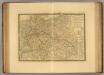
Europe Centrale.
1 : 3500000 Picquet, C.
Geologische Übersichtskarte von Mittel-Europa
Evropa střední F. Tempsky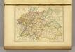
l'Allemagne par Cercles in 1789.
1 : 6300000 Malte-Brun, Conrad, 1775-1826
Der Deutsche Bund samt der Helvetischen Eidgenossenschaft aft. 1828
Historisch-genealogisch-geographischer Atlas von Le Sage Las Cases, Emmanuel Auguste Dieudonné Marius Joseph de Johann Velten, Kunsthändler
Germany, Austria.
1 : 4118400 Letts, Son & Co.
Große Sprachenkarte von Mitteleuropa
1 : 2000000 Lange, Friedrich Reimer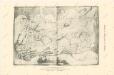
Die Ältesten Karten von Deutschland


Sbírka map a diagramů použitých na mírových konferencích v Paříži v letech 1919 - 1920

Carte élémentaire et statistique de l'Allemagne
1 : 2700000 Brion de La Tour, Louis Brion & Maire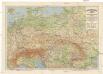
Grossdeutsches Reich und angrenzende Gebiete
1 : 4000000 Evropa střední Leixner, František Zentral-Lehrerverlag und Buchhandlung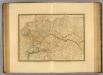
Empire d'Allemagne, Hongrie, Gallicie, Prusse, Provinces-Unies de Pays-Bas en 1789.
1 : 3500000 Picquet, C.
Fluss- u. Gebirgs-Karte, Mittel-Europa.
1 : 4500000 Flemming, Carl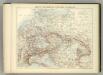
Carte Politique de L'Europe Centrale.
1 : 3600000 Jouvet et Cie.