Maps of New Siberian Islands
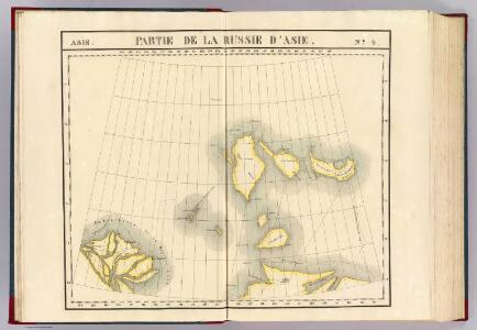
Partie, Russie d'Asie. Asie 4.
1 : 1641836 Vandermaelen, Philippe, 1795-1869
Carte marine de la mer glaciale, et la Siberie septentrional
1 Karte : Kupferdruck ; 42 x 48 cm Königliche Akademie der Wissenschaften
[Východní Asie].
Asie východní Berghaus, Heinrich Karl Wilhelm Horsburgh, James
Chart containing part of the Icy Sea ... Greenland ... Islands about Baffins Bay and part of Hudsons Bay.
1 : 21000000 Jefferys, Thomas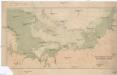
Cesta norské výpravy na severní točnu 1893-1896
1 : 12000000 Arktida nákladem J. Otty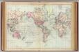
World, Mercator's projection.
1 : 68000000 Asher & Adams

Charte von America
Amerika Kitschin, Thomas Berra, Marco
CHARTE vom ASIATISCHEN RUSSLAND
Rusko východní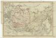
Charte vom Asiatischen Russland
Rusko východní
General'naja karta azijatskoj časti Rossijskoj imperii
1 : 26000000 Rusko východní Korsakov, P.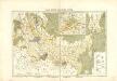
Atlas für Industrie- und Handelsgeographie: Für commercielle und technische Lehranstalten, für Kaufleute und Industrielle

Arctic Regions.
Fullarton, A. & Co.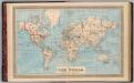
Map of the world on Mercator's projection.
1 : 70000000 H.W. Burgett and Company
Carte marine de la mer glaciale avec une partie de la province de Jrkucki
1 Karte : Kupferdruck ; 42 x 48 cm Academie roÿale des sciences
Imperium Russicum
1 : 7600000 Rusko Doetsch, Johann Anton Hartl, Sebastian apud Sebastianum Hartl
Carte des glaces boreales.
1 : 34000000 Vincent
British America.
1 : 22176000 Tallis, J. & F.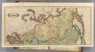
Asia. (N sheets)
1 : 12000000 Lizars, Daniel
Northern America.
1 : 17500000 Colton, G.W.
Fysikální mapa severních polárních zemí
1 : 14000000 Arktida Bartholomew, J. G. Nansen, Fridtjof nákladem J. Otty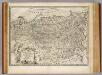
Russian Empire.
1 : 16500000 Bowen, Emanuel
British, Russian & Danish Possessions In North America.
1 : 18374400 Colton, G.W.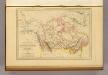
Amerique Russe, Nouvelle Bretagne et Canada.
1 : 23000000 Malte-Brun, Conrad, 1775-1826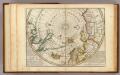
Map of the North Pole and territories near it.
1 : 26000000 Moll, Herman, d. 1732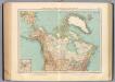
125-26. Canada, Alasca, Groenlandia.
1 : 15000000 Touring club italiano
Imperii Russici et Tartariae universae tam majoris et Asiaticae, qvam minoris et Europaeae tabvla
1 : 16820000 Asie Hase, Johann Matthias Schneider, R. A. impensis Homannianorum Heredum
Northern America.
1 : 20000000 Colton, G.W.