Maps of Germany

L'Allemagne 1024 a 1137.
1 : 6300000 Houze, Antoine Philippe
L'Allemagne 1437 a 1612.
1 : 6300000 Houze, Antoine Philippe
L'Allemagne, l'Autriche, la Prusse et la Pologne 1612 a 1788.
1 : 6300000 Houze, Antoine Philippe
L'Allemagne 1137 a 1273.
1 : 6300000 Houze, Antoine Philippe
La Germanie a la fin du 5e. siecle.
1 : 6300000 Houze, Antoine Philippe
L'Allemagne 911 a 1024.
1 : 6300000 Houze, Antoine Philippe
L'Allemagne 1373 a 1437.
1 : 6300000 Houze, Antoine Philippe
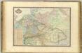
Carte Generale D'Allemagne.
1 : 4600000 Vivien de St Martin, L.
Europe Centrale.
1 : 4100000 Montemont, A.
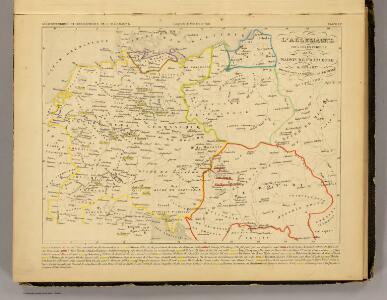
Autriche, Prusse, Confed. Germanique, Pologne 1788 a 1841.
1 : 6300000 Houze, Antoine Philippe
Karte des Deutschen Reichs
Schmidt, Johann Marius Friedrich; Jäck Schropp
Allemagne.
1 : 3300000 Lapie, M. (Pierre), 1779-1850
L'Allemagne, l'Europe centrale.
1 : 3460000 Andriveau-Goujon, J.
Germanie Ancienne.
1 : 3300000 Lapie, M. (Pierre), 1779-1850
La Germanie 741 a 843.
1 : 6300000 Houze, Antoine Philippe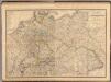
Composite: Allemagne.
1 : 2000000 Andriveau-Goujon, J.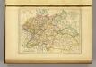
l'Allemagne par Cercles in 1789.
1 : 6300000 Malte-Brun, Conrad, 1775-1826
Europe Centrale.
1 : 3000000 Garnier, F. A., 1803-1863
Sbírka map a diagramů použitých na mírových konferencích v Paříži v letech 1919 - 1920

L'Allemagne 843 a 911.
1 : 6300000 Houze, Antoine Philippe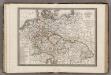
Allemagne.
1 : 5000000 Monin, C.V.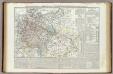
Carta generale della Germania ossia Confederazione Germanica.
1 : 3500000 Marzolla, Benedetto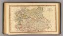
Central states Europe.
1 : 9000000 Fenner, Rest.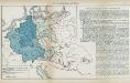
Nr. 8a. Die Germanisierung des Ostens
Ostmitteleuropa Deutsche, Siedlung
Germany.
1 : 6000000 Finley, Anthony
Societas Iesu Germana
1 : 2600000 Mollova mapová sbírka Seutter, Matthäus Seutter, Matthäus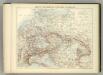
Carte Politique de L'Europe Centrale.
1 : 3600000 Jouvet et Cie.
[Mitteleuropa]
1 : 2500000 [S.l. : s.n.]