Maps of Carpathian Mountains

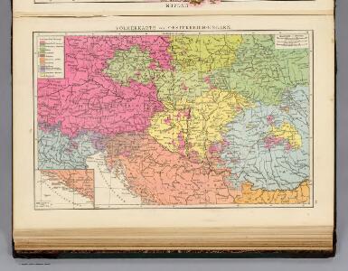
Volkerkarte v. Oesterreich-Ungarn.
1 : 4000000 Andree, Richard
Uibersichts-Karte der Österreichischen Monarchie
1 : 2600000 Evropa jihovýchodní Fleischans, Carl Medau, Karel Vilém C.W. Medau
Novissima Russiæ tabula / authore Isaaco Massa
1 : 840000 1 Karte : Kupferdruck ; 46 x 54 cm Massa, Isaac Abrahamsz Apud Janssonio-Waesbergios et Mosem Pitt
Tabula Russiae / ex mandato Foedor Borissowits delineata, Magno studio plurimis in locis aucta, edit
1 : 7900000 1 Karte : Kupferdruck ; 41 x 52 cm Visscher, Claes Jansz. [Nicolas Visscher]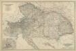
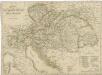
Composite: Austro-Hungarian Monarchy.
1 : 1642000 Johnston, Alexander Keith
The European part of the Russian Empire, from the maps publishd by the Imperial Academy at St. Peter
1 : 8200000 1 Karte auf 2 Bl. : Kupferdruck ; 47 x 128 cm ; Einzelbl. 47 x 64 cm published 12th May 1794 by Lawrie & Whittle, No.53 Fleet Street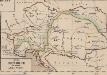
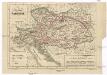
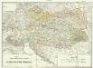
Oesterreich in seiner jetzigen Gestalt
Österreich-Ungarn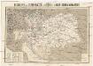
Reisekarte der Oesterreich. Ungarischen Monarchie
1 : 2250000 Evropa střední Moritz Perles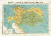
Reisekarte der Oesterreich. Ungarischen Monarchie
1 : 2250000 Evropa střední Moriz Perles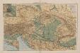
Österreich-Ungarn
1 : 4000000 Österreich-Ungarn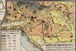
Bevölkerungsdichte
Österreich-Ungarn Bevölkerungsdichte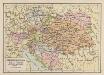
Österreich-Ungarn
1 : 6900000 Österreich-Ungarn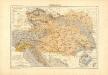
Atlas für Industrie- und Handelsgeographie: Für commercielle und technische Lehranstalten, für Kaufleute und Industrielle
Charte der Oesterreichischen Monarchie
Projectirte Verpflegs-Bezirgs-Eintheilung der Oesterreichischen Monarchie
1 : 1480000 Evropa střední Hubert, D.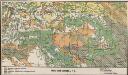
Bodenbenutzung
Österreich-Ungarn Bodennutzung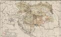
Österreich-Ungarn. Landwirtschaft
1 : 9000000 Österreich-Ungarn Landwirtschaft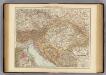
Austria-Hungary.
1 : 3000000 Andree, Richard; Times (London, England)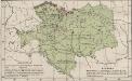
Österreich-Ungarn. Industrie, Bergbau
1 : 9000000 Österreich-Ungarn Industrie, Bergbau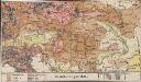
Bevölkerungsdichte
Österreich-Ungarn Bevölkerungsdichte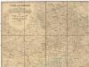
Strassen- und Eisenbahnkarte des oesterreichischen Kaiserthumes
1 : 864000 Rakousko (1804-1867) Schaller, Georg k.k. militärisch-geographisches Institut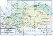
Das allmälige Wachsthum des österreichischen Staates. No. 49 Österreich nach dem Wiener Congress 1815
Österreich Wiener Kongress (1814-1815 : Wien)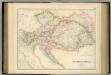
Austrian Empire.
1 : 2534400 Fullarton, A. & Co.
Austria.
1 : 3928320 Colton, G.W.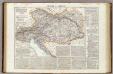
Impero d'Austria.
1 : 2800000 Picquet, C.
Austrian Empire.
1 : 4200000 Mitchell, Samuel Augustus
Austrian Empire.
1 : 4300000 Tanner, Henry S.
Austrian Empire.
1 : 4300000 Tanner, Henry S.
Storchova nejnovější politická a železniční cestovní mapa Rakousko – Uherska