Project
Community
News
My maps
Cataloged map
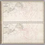
Ice Chart, Grand Banks Region, May, June.
Full title:
Ice Chart, Grand Banks Region, May, June.
Publisher:
Hydrographic Office, U.S. Navy
Physical Size:
20 x 30 cm
History