Project
Community
News
My maps
Cataloged map
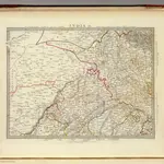
India IX.
Full title:
India IX.
Publisher:
Chapman and Hall
Physical Size:
20 x 30 cm
Map scale:
1:2 200 000
History