Project
Community
News
My maps
Cataloged map
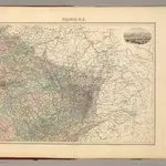
France N.E.
Full title:
France N.E.
Publisher:
Direction & Administration.
Map scale:
1:1 615 000
History