Maps of Sahara
Africa, with all its states, kingdoms, republics, regions, islands, &ca. (northern section)
1 : 8400000 Boulton, S.
(Africa N sheets)
1 : 11200000 Lizars, Daniel
Africa (north)
1 : 8300000 Robert Laurie & James Whittle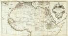
Afrique nord.
1 : 8300000 Anville, Jean Baptiste Bourguignon d, 1697-1782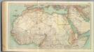
109-11. Africa nord.
1 : 10000000 Touring club italiano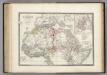
Afrique partie Nord.
1 : 16000000 Levasseur, E.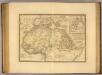
Afrique, septentrionale.
1 : 16000000 Picquet, C.
Goffstown, Hillsborough Co.
1 : 26000 D.H. Hurd & Co.
Tabula Moderna Prime Partis Aphricae [Karte], in: Claudii Ptolemei viri Alexandrini mathematice discipline philosophi doctissimi geographie opus [...], S. 263.
1 Karte aus Atlas Waldseemüller, Martin [und Ptolemaeus, Claudius] Übelin, Georg
Karte von Africa
Afrika Robert de Vaugondy, Didier Alberti, Ignaz F.A. Schraembl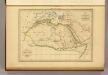
Afrique Ancienne.
1 : 27500000 Malte-Brun, Conrad, 1775-1826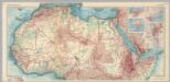
Africa - North. Pergamon World Atlas.
1 : 10000000 Polish Army Topography Service
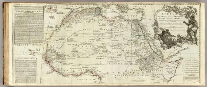
The Turkish Empire in Europe, Asia and Africa, divided into all its governments, together with the other territories that are tributary to it, as also the dominions of ye Emperor of Marocco.
from The world described, or, A new and correct sett of maps : shewing the kingdoms and states in all the known parts of the earth, with the principal cities, and most considerable towns in the world ... / ... by Herman Moll, geographer ...
Carte détaillée (en deux feuilles) de l'Afrique et des îles qui en dépendent (partie septentrionale)
1 : 16323500 par A. Brué, d'après les observations astronomiques, les découvertes et les hypothèses les plus récentes Paris : chez l'auteur
Africae antiquae, et quarundam Europae, Asiaeque adiacentium regionum
1 : 1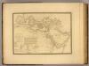
Monde connu des Hebreux.
1 : 14000000 Picquet, C.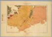
Province of Nova Scotia (Island of Cape Breton). Sheet no. 20.
1 : 63360 Geological Survey of Canada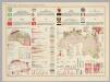
Mauritania, Morocco, Algeria, Tunisia, Libya, United Arab Republic, Chad, Sudan. Pergamon World Atlas.
Polish Army Topography Service
Africa Antiqua.
1 : 58000000 Fenner, Rest.
N. Africa, S. Africa.
Thomson, John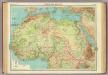
Northern Africa.
1 : 12000000 John Bartholomew and Son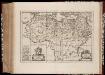
Africæ Antiquæ, et quarundam Europæ, Asiæque adiacentium regionum, accurata delineatio, ad historiarum lucem edita / à Nicolao Blancardo, Batavo, Leidensi, historiarum et politices professore
1 : 15000000 Annotatie: Origineel is Blad 200 in atlas factice; Rechtsonder acht muntafbeeldingen. Cartouche met opdracht aan Iohannes Brunæus Nicolaas Blanckaert 1624-1703 [Amsterdam : Janssonius]
North Africa.
1 : 16600000 Sharpe, J.
Mohammedanischen Staaten-Systems.
1 : 25000000 Flemming, Carl
Noroeste de Africa
1 mapa. Datat al s. XIX. Gras y compañia, editores. Madrid
Lisbon, Littleton.
1 : 4800 D.H. Hurd & Co.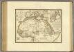
Afrique, septentrionale.
1 : 15000000 Brue, Adrien Hubert, 1786-1832
Africa et Arabia
Schul-Atlas der alten Welt bei Justus Perthes
Hillsborough Bridge P.O.
D.H. Hurd & Co.