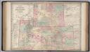
Maps of Montana

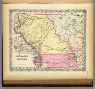
Nebraska And Kanzas.
1 : 4800000 Colton, G.W.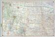
Shell Sectional Map No. 9 - Northwestern States.
1 : 3104640 Shell Oil Company
Nebraska And Kansas.
1 : 4942080 Johnson, A.J.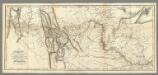
Map of Lewis and Clark's Track...
1 : 4450000 Lewis, Meriwether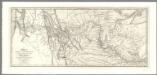
Map of Lewis and Clark's Track, Across the Western Portion of North America .
1 : 4300000 Allen, Paul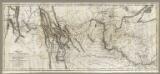
Map of Lewis and Clark's Track, Across the Western Portion of North America .
1 : 4300000 Lewis, Meriwether
Nebraska And Kansas.
1 : 3850000 Colton, J. H.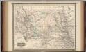
Nebraska, Dakota, Idaho, Montana, and Wyoming.
1 : 3400000 Johnson, A.J.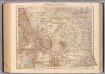
136-37. Mont., N.D., S.D., Wyo., Neb.
1 : 3000000 Touring club italiano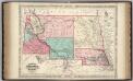
Nebraska, Dakota, Idaho, and Montana.
1 : 4942080 Johnson, A.J.
U.S. West of Mississippi R. 2.
1 : 2000000 Freyhold, Edward; Warren, Gouverneur Kemble, 1830-1882; United States. Army. Corps of Engineers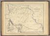
Territory of Nebraska.
1 : 3453120 Rogers, Henry Darwin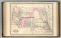
Nebraska, Dakota, Idaho, Montana, and Wyoming.
1 : 3400000 Johnson, A.J.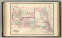
Nebraska, Dakota, Idaho, Montana, and Wyoming.
1 : 3400000 Johnson, A.J.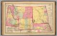
Nebraska, and the territories of Dakota, Idaho, Montana and Wyoming.
1 : 3000000 Lloyd, H.H.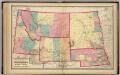
Nebraska, and the territories of Dakota, Idaho, Montana and Wyoming.
1 : 3000000 Walling, H. F.
Map of Kansas, Nebraska, and Colorado. Showing also the eastern portion of Idaho.
from New general atlas.
Map of an exploring expedition to the Rocky Mountains in the year 1842 and to Oregon & north California in the years 1843-44 / by Brevet Capt. J.C. Frémont of the Corps of Topographical Engineers under the orders of Col. J.J. Abert, Chief of the Topog...
From Parts
State of Kansas, and Nebraska and Indian Territories.
1 : 3000000 Colton, G.W.
Country drained by the Mississippi Western Section.
1 : 4752000 Long, Stephen H.
Vereinigte Staaten Von Nord-Amerika In 6 Blattern, Bl. 2.
1 : 3700000 Petermann, A.
Kansas, and Nebraska and Indian Territories.
1 : 3000000 Colton, G.W.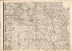
A Map of the British Empire in America. (Sheet 5).
1 : 2000000 Popple, Henry
Colorado, Idaho, Montana, and Wyoming.
1 : 1800800 Gray, Ormando Willis
Colorado. Idaho, Montana, and Wyoming.
1 : 1901000 Gray, Ormando Willis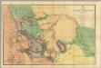
Map Of The Yellowstone And Missouri Rivers.
1 : 1200000 Raynolds, William F.
Dakota and Wyoming.
1 : 3000000 Colton, G.W.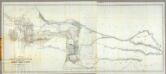
Map of a Reconnoissance between Fort Leavenworth ... and the Great Salt Lake ...
1 : 1000000 Stansbury, Howard
Kan., Neb., Colo.
1 : 4000000 Mitchell, Samuel Augustus