Maps of New York

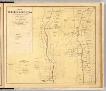
Mud Creek oil lands.
1 : 12300 Proctor, C. A.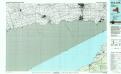
Silver Creek
1 : 100000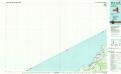
Silver Creek
1 : 100000
Buffalo
1 : 250000
Buffalo
1 : 250000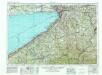
Buffalo
1 : 250000
Buffalo
1 : 250000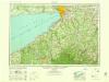
Buffalo
1 : 250000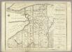
Map of Morris's Purchase or West Geneseo In the State of New York.
1 : 336000 Ellicott, Joseph & B.
Map of Morris's Purchase or West Geneseo in the state of New York : exhibiting part of the Lakes Erie and Ontario, the Straights of Niagara ...
1 : 336000 Ellicott, Joseph Holland Land Co.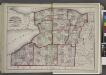
"Niagara, Erie, Chautauqua, Cattaraugus, Orleans, Genesee, Wyoming, Allegany, Monroe, and Livingston Counties"
from New topographical atlas and gazetteer of New York, comprising a topographical view of the several counties of the state, ... including ... map of the United States and territories ... Compiled from the latest astronomical observations, official surveys and records of the United States and territories ...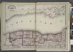
"Niagara, Orleans, Genesee, Monroe, and Wayne counties"
from New topographical atlas and gazetteer of New York, comprising a topographical view of the several counties of the state, ... including ... map of the United States and territories ... Compiled from the latest astronomical observations, official surveys and records of the United States and territories ...
Map of the route of the proposed New York & Erie Railroad, as surveyed in 1834 / reduced from the plans as returned by Benjn. Wright, Civil Engineer ; D. R. Harrison, sc.
From Whole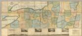
Map of the Western Part of the State Of New York.
1 : 330000 Vance, David H.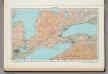
190. Ontario, South. The World Atlas.
1 : 1250000 USSR (Union of Soviet Socialist Republics).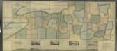
Map of the western part of the state of New York, 1823 / by D.H. Vance ; improved and enlarged to the east boundary of the state by J. Ogden Dey, 1824 ; engraved by Balch, Rawdon & Co.
from (A-Z)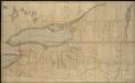
Map of the northern part of the state of New York
1 : 450000 Lay, Amos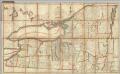
Northern Part of the State Of New York
1 : 443529 Lay, Amos
M: Untitled outline map of Pennsylvania
Melish, John
New York (western and northern sections).
1 : 570000 Rand McNally and Company
AutoTrails Map, Eastern Ohio, Western Pennsylvania, Southern Ontario, Western New York, Western Maryland, Northern West Virginia.
1 : 847000 Rand McNally and Company
Ontario No. 1.
1 : 1110000 Rand McNally and Company
Geological Map Of The State Of Pennsylvania.
1 : 316800 Rogers, Henry Darwin
New York.
1 : 570000 Rand McNally and Company
A reference & distance map of the state of New York
1 : 1300000 Pierce, Justin J. Pierce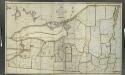
Map of the northern part of the state of New York / compiled from actual survey by Amos Lay, 1812.
from (A-Z)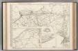
New York.
Rand McNally and Company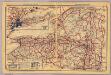
New York.
1 : 1350000 Rand McNally and Company
Ontario No. 1.
1 : 1100000 Rand McNally and Company