Maps of Alaska
Facsimile: Russian Chart of the Frozen Ocean and the Eastern Ocean.
1 : 9800000 Alaskan Boundary Tribunal
Chart of the Northern Passage between Asia & America
1 : 13500000 Neele, Samuel John John Thomson and Co.
Carte des decouvertes faites par les Russes et par le capitaine anglois Jacques Cook dans la mer du Sud
1 Karte : Kupferdruck ; 52 x 79 cm Vil'brecht; Nabholz s.n.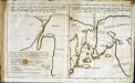
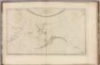
Esquisse d'une carte du cap.te Cook
2 Karten auf 1 Blatt : Kupferdruck ; 19 x 32 cm Cook; Barrington; Engel; Holzhalb s.n.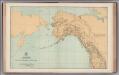
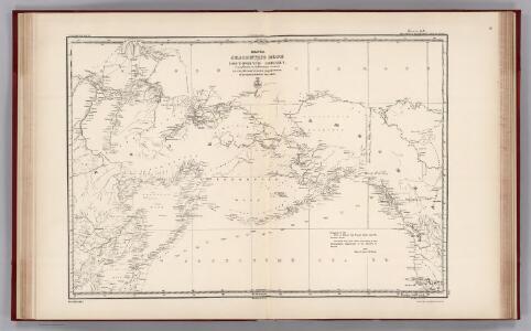
Facsimile: General Map. Parts of North America and Asia.
1 : 10340000 U.S. Coast and Geodetic Survey
Carte Generale de la Russie d'Asie ou Siberie.
1 : 14300000 Vivien de St Martin, L.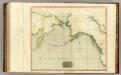
Northern Passage.
1 : 18000000 Thomson, John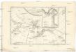
Carte de la côte N.O. del'Amerique et de la côte N.E. de l Asie reconnues en 1778 et 1779
1 : 13700000 Asie východní Bonne, Rigobert André
Facsimile: Spanish Admiralty World in Mercator (portion).
1 : 15200000 Alaskan Boundary Tribunal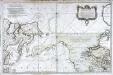
Carte réduite de l'ocean septentrional compris entre l'Asie et l'Amérique
1 Karte : Kupferdruck ; 54 x 84 cm Bellin s.n.
Alaska.
1 : 7857000 Rand McNally and Company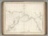
Chart of the Coasts of America and Asia.
1 : 19500000 La Perouse, Jean-Francois de Galaup, comte de, 1741-1788
Regiones Sub Polo Arctico. [Karte], in: Novus Atlas, das ist, Weltbeschreibung, Bd. 1, S. 19.
1 Karte aus Atlas Blaeu, Joan Blaeu, Willem Janszoon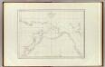
Cotes, l'Amerique, l'Asie.
1 : 25000000 La Perouse, Jean-Francois de Galaup, comte de, 1741-1788
Canada - West. Pergamon World Atlas.
1 : 10000000 Polish Army Topography Service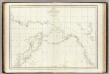
Cotes, l'Amerique, l'Asie.
1 : 25000000 La Perouse, Jean-Francois de Galaup, comte de, 1741-1788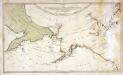
Karte von den n. w. amerikanischen und n. oe. asiatischen Küsten
1 Karte : Kupferdruck ; 38 x 66 cm Schrämbl; Roberts; Lackner zu finden in eigenem Verlage Schrämbl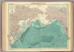
North Pacific Ocean.
1 : 25000000 John Bartholomew & Co.
Der noerdliche Theil des grossen Welt Meeres
1 Karte : Kupferdruck ; 48 x 65 cm Reichard im Verlage d. Industrie Comptoirs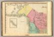
North America, N.W. Sheet..
1 : 7600000 Tanner, Henry S.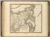
Russian Empire east.
1 : 9400000 Cary, John, ca. 1754-1835
Extreme Limits of Ice, 1998 - 1938, April - August
U.S. Navy
Nova Et Accurata Poli Arctici et terrarum Circum Iacentium Descriptio. [Karte], in: Het vijfde Deel Des Grooten Atlas : Vervatende De Water-Weereld, S. 53.
1 Karte aus Atlas Jansson, Jan Jansson, Jan
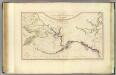
N.W. coast America, N.E. coast Asia.
1 : 8700000 Cook, James, 1728-1779
North western America showing the territory ceded by Russia to the United States.
1 : 12100000 United States Coast Survey
North western America showing the territory ceded by Russia to the United States.
1 : 12100000 United States Coast Survey
Regiones Sub Polo Arctico. [Karte], in: Theatrum orbis terrarum, sive, Atlas novus, Bd. 1, S. 31.
1 Karte aus Atlas Blaeu, Joan Blaeu, Willem Janszoon
Karta predstavljajuščaja čast zapadnago berega Ameriki
1 : 7000000 Aleutské ostrovy (Aljaška) Charitonov, G.