Maps of Bronx County

Maps of Bronx County

$title$

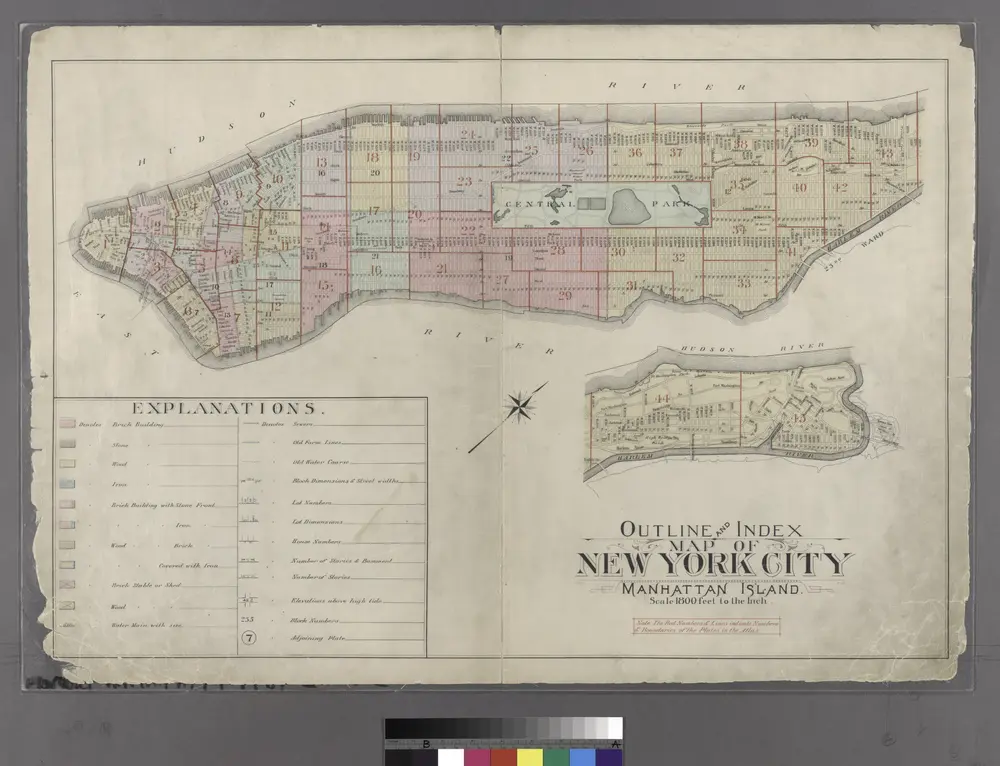
1907 library map of Manhattan, City of New York.

From Manhattan
$title$

Shell Greater New York City, Manhattan, Bronx, Brooklyn, Queens.

1 : 50688 Shell Oil Company
$title$

Hagstrom ́s map of Manhattan and Bronx

$title$

New York City.

1 : 43500 Rand McNally and Company
$title$

Geologic map and sections of Manhattan Island, State of New York

From Manhattan
$title$

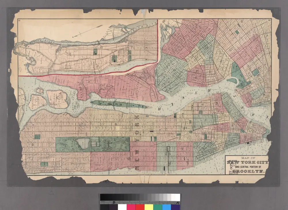
Colton's new map of the city and county of New York [North and South of 93rd St.] including the extension north of the Harlem River.

From Manhattan
$title$

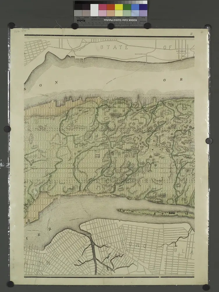
Topographical atlas of the city of New York, including the annexed territory showing original water courses and made land.

from Topographical atlas of the city of New York, / including the annexed territory showing original water courses and made land / prepared under the direction of Egbert L. Viele.
$title$

New Map of the Borough of the Bronx, City of New York . . . Circular stickers mark Carnegie Library sites.

From Bronx
$title$

New Map of the Borough of the Bronx.

From Bronx
$title$

Index to the Location of the Sections and Pages of Final Maps and Profiles, showing the street system in the 23rd and 24th Wards, in the City of New york. [Grid #5000W - 20000E, #15000N - 30000S.]

from Maps or plans and profiles, with field notes and explanatory remarks, showing the location, width, grades, and class of streets, roads, avenues, public squares and places, located and laid out by the Commissioner of Street Improvements of the 23rd and 24th wards of the city of New York : under authority of Chapter 545 of the laws of 1890.
$title$

Queens, Vol. 2A, Double Page Plate No. 31; Part of Ward Two Newtown. [Map bounded by Lurting St., Flushing River, Rodman St.; Including Corona Ave., Tiemann Ave.] / by and under the supervision of Hugo Ullitz.

From v. 2A
$title$

Plan of The Central Park, City of New York, 1860

from Manhattan
$title$

Map of the city and county of New York : with the adjacent country / by David H. Burr.

from An atlas of the state of New York : containing a map of the state and of the several counties / by David H. Burr.
$title$

N.Y. City, Brooklyn.

1 : 41500 Bien, Joseph Rudolf
$title$

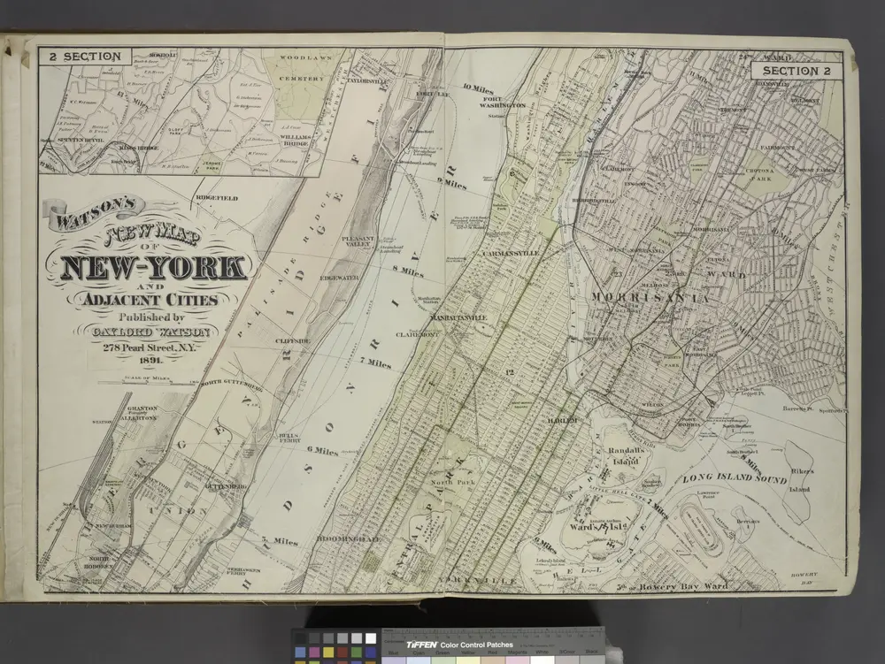
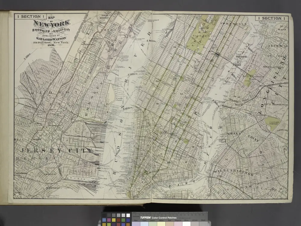
Map of New York City showing portions of Brooklyn, Jersey City, and Westchester Co.

from Whole
$title$

New York City, County.

1 : 31680 Vermeule, C. C. (Cornelius Clarkson), 1858-1950
$title$

Harlem

1 : 62500
$title$

Harlem

1 : 62500
$title$

Harlem

1 : 62500
$title$

Harlem

1 : 62500
$title$

Harlem

1 : 62500
$title$

Harlem

1 : 62500
$title$

Harlem

1 : 62500
$title$

Harlem

1 : 62500
$title$

Harlem

1 : 62500
$title$

Harlem

1 : 62500
$title$

Harlem

1 : 62500
$title$

Harlem

1 : 62500
$title$

Harlem

1 : 62500
$title$

Harlem

1 : 62500
$title$

Harlem

1 : 62500
$title$

Harlem

1 : 62500
$title$

Harlem

1 : 62500
$title$

Harlem

1 : 62500
$title$

Harlem

1 : 62500
$title$

Harlem

1 : 62500
$title$

Harlem

1 : 62500
© MapTiler © OpenStreetMap contributors
How does it work?
These instructions will show you how to find historical maps online.
Getting started
Type the place name in the search box to find the exact location. You can further adjust the search by zooming in and out.
Zoom
Zoom in and out with the buttons or use your mouse or touchpad natively.
Exact Area tool
Click here and draw a rectangle over the map to precisely define the search area.
Set filters
Narrow your search with advanced settings, such as Years (from/to), Fulltext, Publisher, etc.
Results
See the results of your search on the right side. You can scroll down to find more maps of this location.
?

Download OldMapsOnline Mobile