Cataloged map
L'Amerique divisée par grands etats / par le Sr. Janvier, géographe.
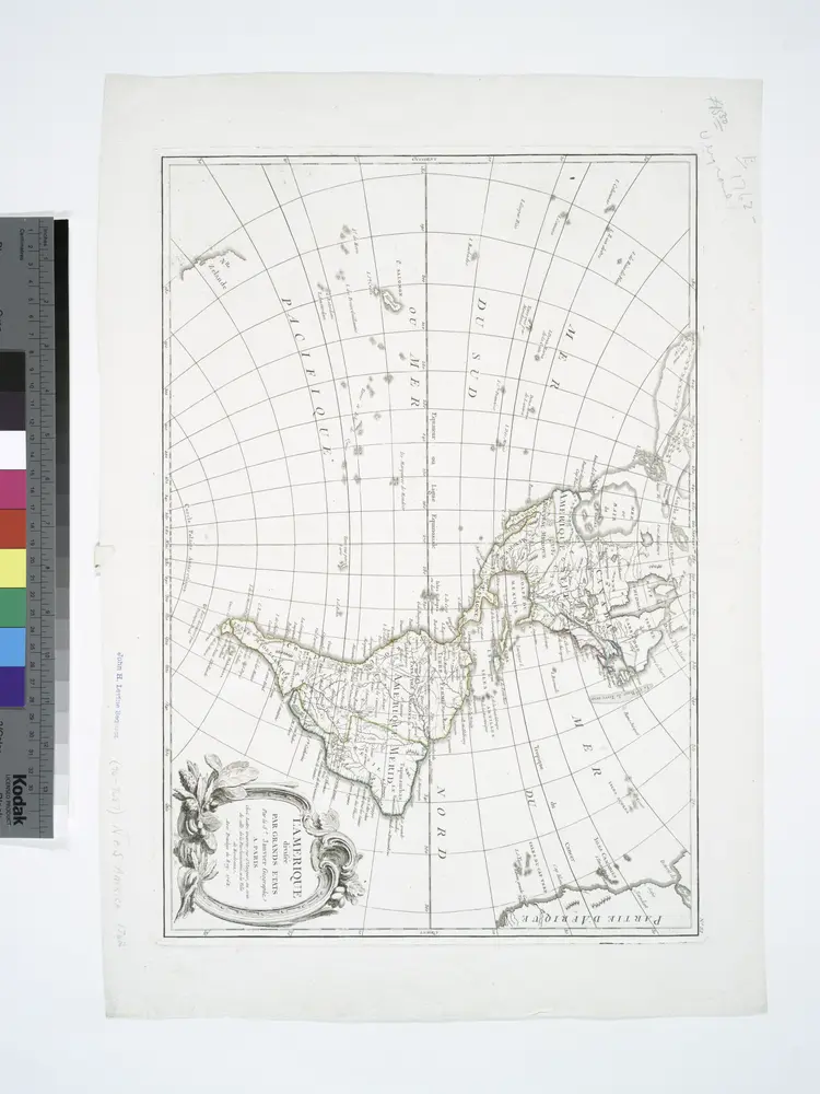

Full title:L'Amerique divisée par grands etats / par le Sr. Janvier, géographe.
Depicted:1762
Physical Size:20 x 30 cm
Carte pour servir a l'histoire philosophique et politique des etablissemens et du commerce des Européens dans les deux Indes
1790
Bonne
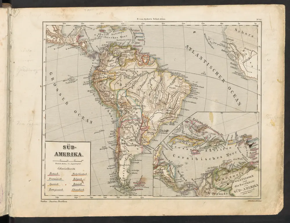
[Süd-Amerika]
1849
Sydow, Emil von
n/a
1858
n/a
1796
n/a
1838
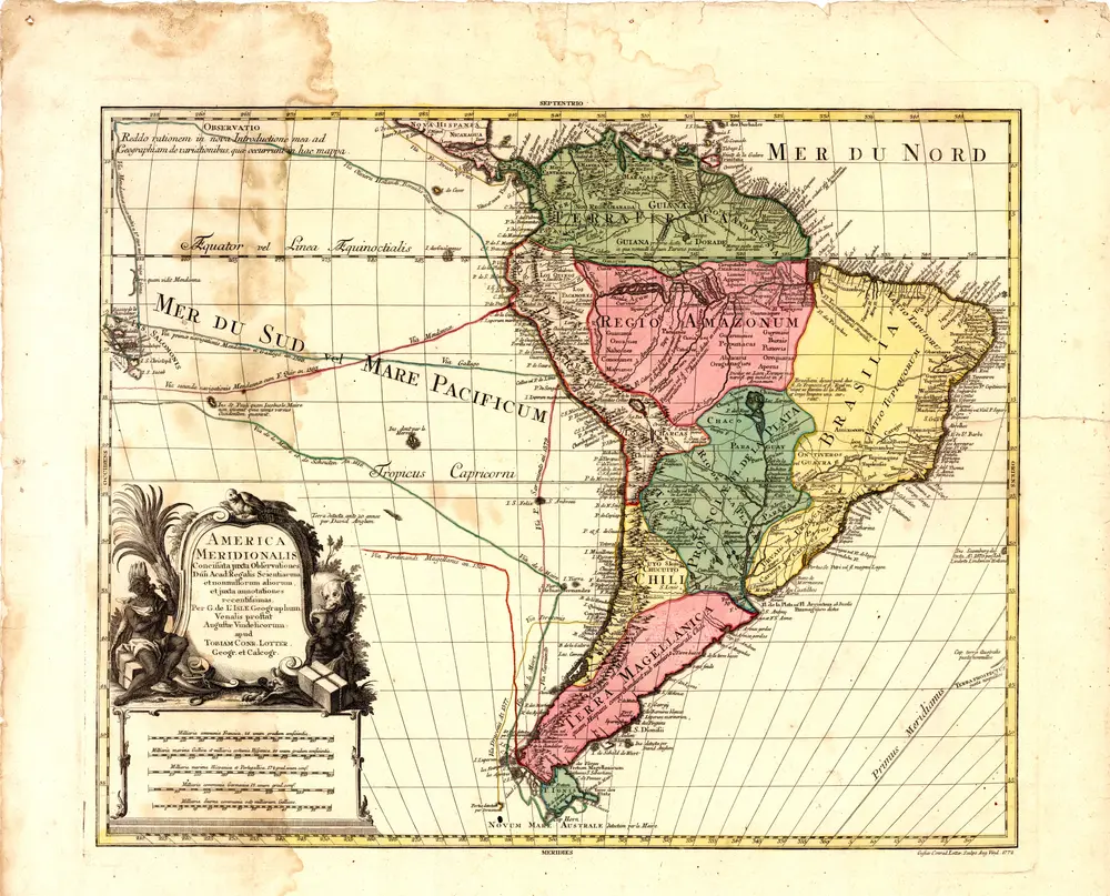
America meridionalis
1772
Delisle, Guillaume
Rand, McNally & Co.'s new 14 x 21 map of South America
1902
Rand McNally and Company
1:19m
A new & exact map of the coast, countries and islands within ye limits of ye South Sea Company, from ye river Aranoca to Terra del Fuego, and from thence through ye South Sea, to ye north part of California &c. with a view of the general and coasting ...
1711
1:32m
n/a
1838
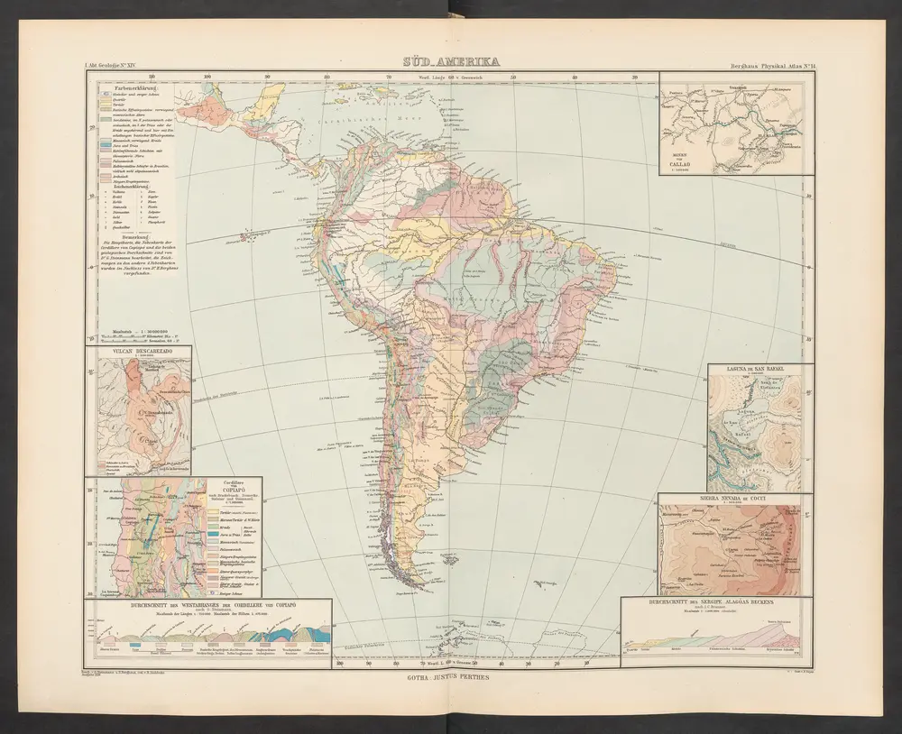
[Süd-Amerika]
1892
Zittel, K.v. ; Berghaus, Hermann