Mapa catalogado
Messico, ouvero Nuova-Spagna : che contiene il Nuovo Messico, la California con una parte de paesi adjacenti / G. Pitteri scr.


Título completo:Messico, ouvero Nuova-Spagna : che contiene il Nuovo Messico, la California con una parte de paesi adjacenti / G. Pitteri scr.
Tamaño físico:20 x 30 cm
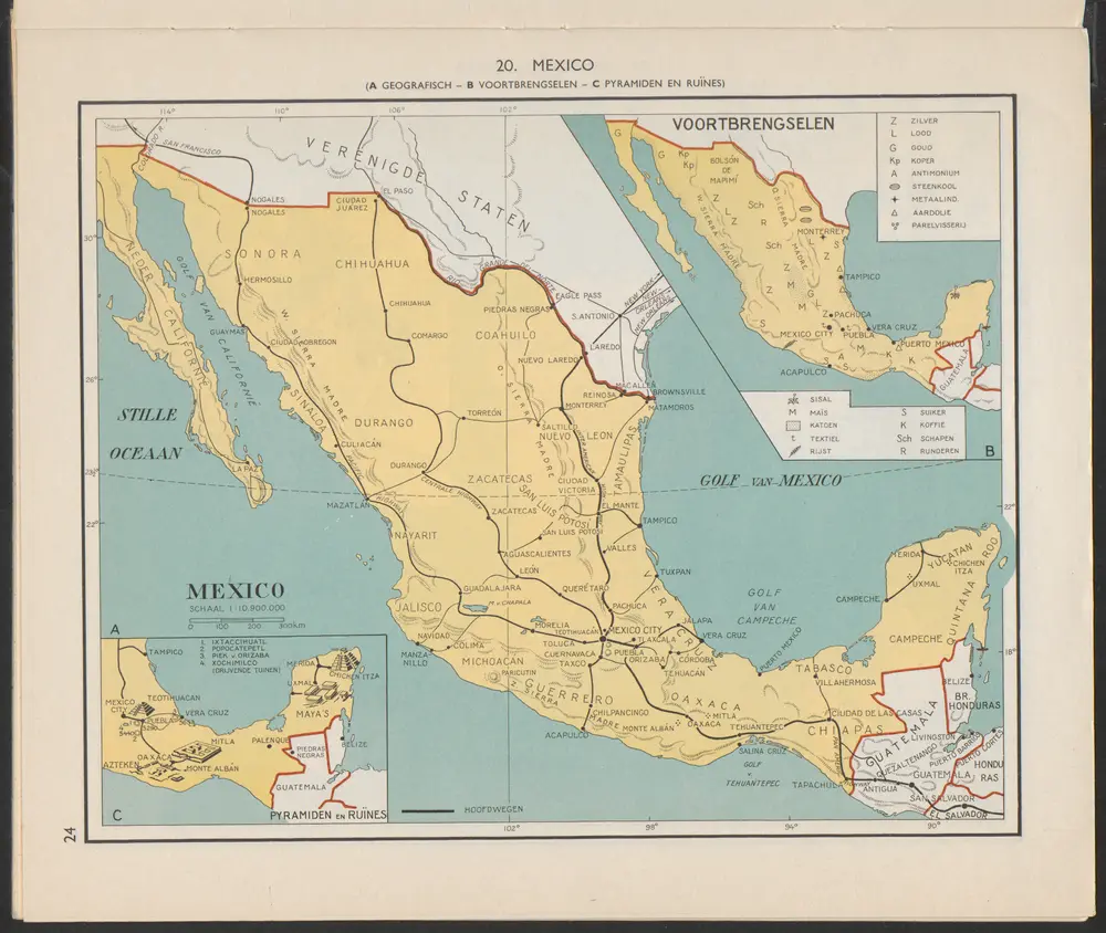
Mexico : Voortbrengselen [B]
1956
Arnoldus Johannes Cornelius Krafft (1892-)
Map of the Mexican Central Railway and connections
1896
Poole Brothers
1:4m
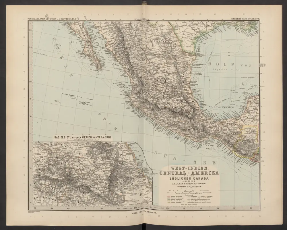
[West-Indien, Central-Amerika bis zum südlichen Canada, Blatt 1]
1892
Stieler, Adolf
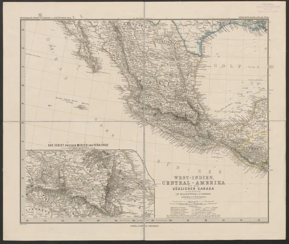
West-Indien, Central-Amerika bis zum südlichen Canada in 4 Blättern
1887
Petermann, August Heinrich ; Habenicht, H.
1:8m
Map of Mexico : including Yucatan & Upper California, exhibiting the chief cities and towns, the principal travelling routes &c
1847
Mitchell, S. Augustus (Samuel Augustus), 1792-1868
1:7m
Carte générale du royaume de la Nouvelle Espagne depuis le parallèle de 16° jusqu'au parallèle de 38° (latitude nord)
1809
Humboldt, Alexander von
1:3m
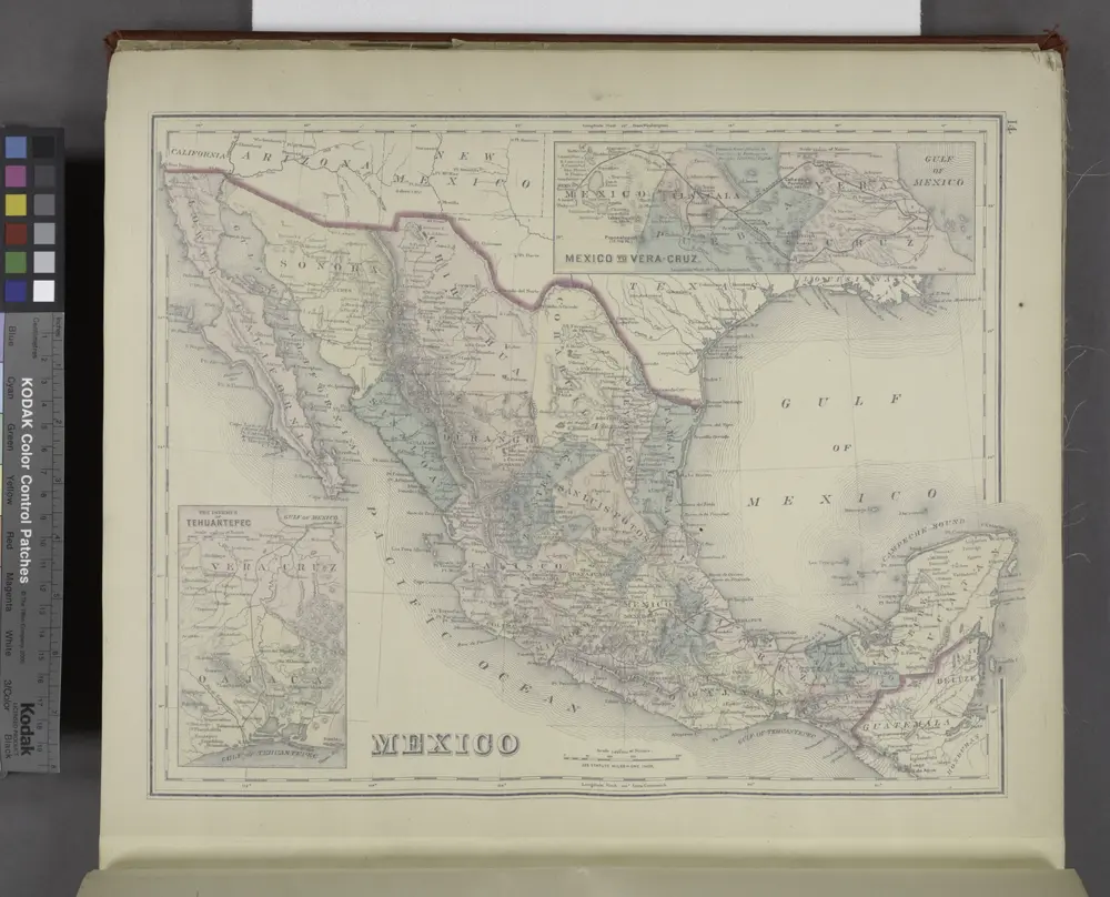
Mexico; Mexico to Vera-Cruz; The Isthmus of Tehuantepec
1876
Mexico, or, New Spain : in which the motions of Cortes may be traced
1777
Kitchin, Thomas, d. 1784
1:10m
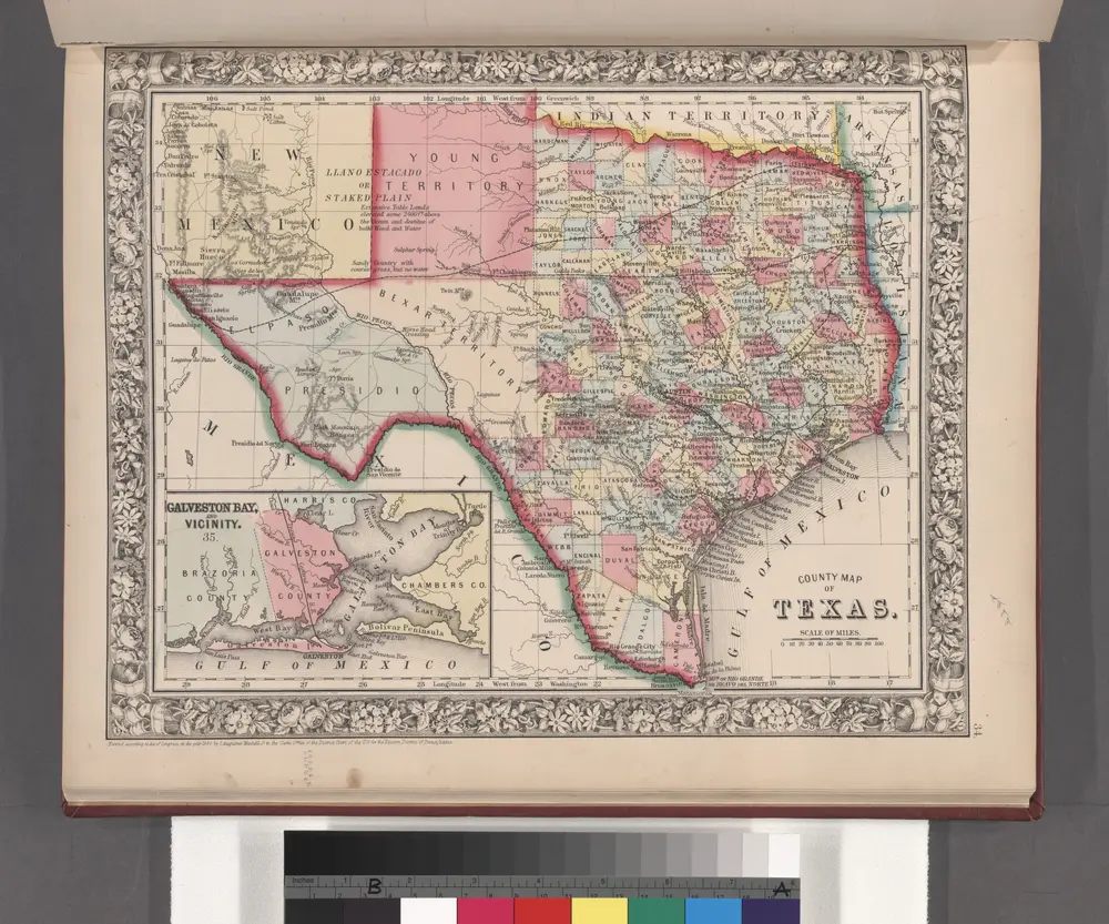
County map of Texas ; Galveston Bay and vicinity [inset].
1860
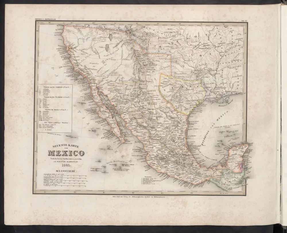
Neueste Karte von Mexico
1860
Meyer, J.