Project
Community
News
My maps
Mapa catalogado
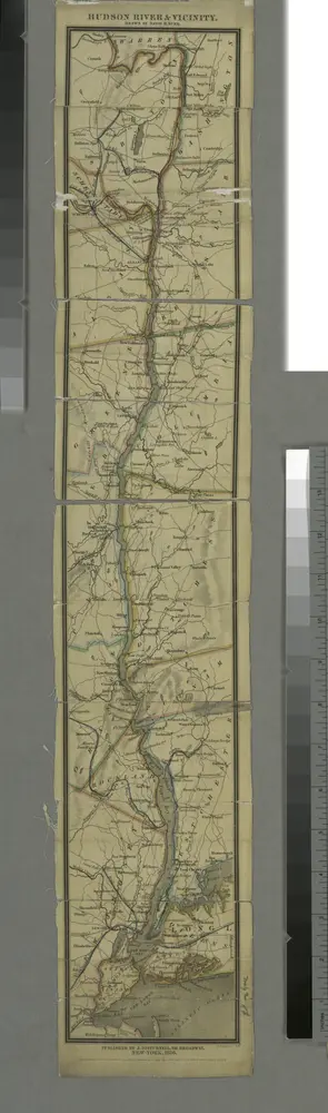
Hudson River & vicinity / drawn by David H. Burr ; S. Stiles & Co., N.Y.
View on external website
Título completo:
Hudson River & vicinity / drawn by David H. Burr ; S. Stiles & Co., N.Y.
Tamaño físico:
20 x 30 cm
Catalog
maps.nypl.org
Pittsfield
1986
1:100k
Pittsfield
1986
1:100k
Copake
1904
1:63k
Copake
1904
1:63k
Copake
1904
1:63k
Copake
1904
1:63k
Copake
1904
1:63k
Copake
1904
1:63k
Copake
1904
1:63k
Copake
1902
1:63k
Historia