Maps of United States

Maps of United States

$title$

The United States & the relative position of the Oregon & Texas / by James Wyld, Charing Cross East.

from Whole
$title$

Map of The United States, and Territories. Together with Canada & c. ; Island of Newfoundland

from Atlas of Schuyler County, New York : from actual surveys by and under the direction of Beach Nichols.
$title$

Charte von Nordamerica

1 Karte : Kupferdruck ; 57 x 50 cm Reichard im Verlage des Industrie Comptoirs
$title$

Map of The United States

from Atlas of Wayne County, New York : from actual surveys and official records / compiled & published by D. G. Beers & Co.
$title$

Map of The United States of America

from Atlas of Steuben County, New York : from actual surveys and official records / compiled & published by D.G. Beers & Co.
$title$

Standard American Map.

1 : 3168000 Monk, Jacob
$title$

Continental Map Of North America.

1 : 3041280 Monk, Jacob
$title$

Carte Generale Des Etats.

1 : 7285000 Andriveau-Goujon, E.
$title$

Oceanie 2.

1 : 15500000 Brue, Adrien Hubert, 1786-1832
$title$

Special -Karte der Vereinigten Staaten von Nord - America No 16.

$title$

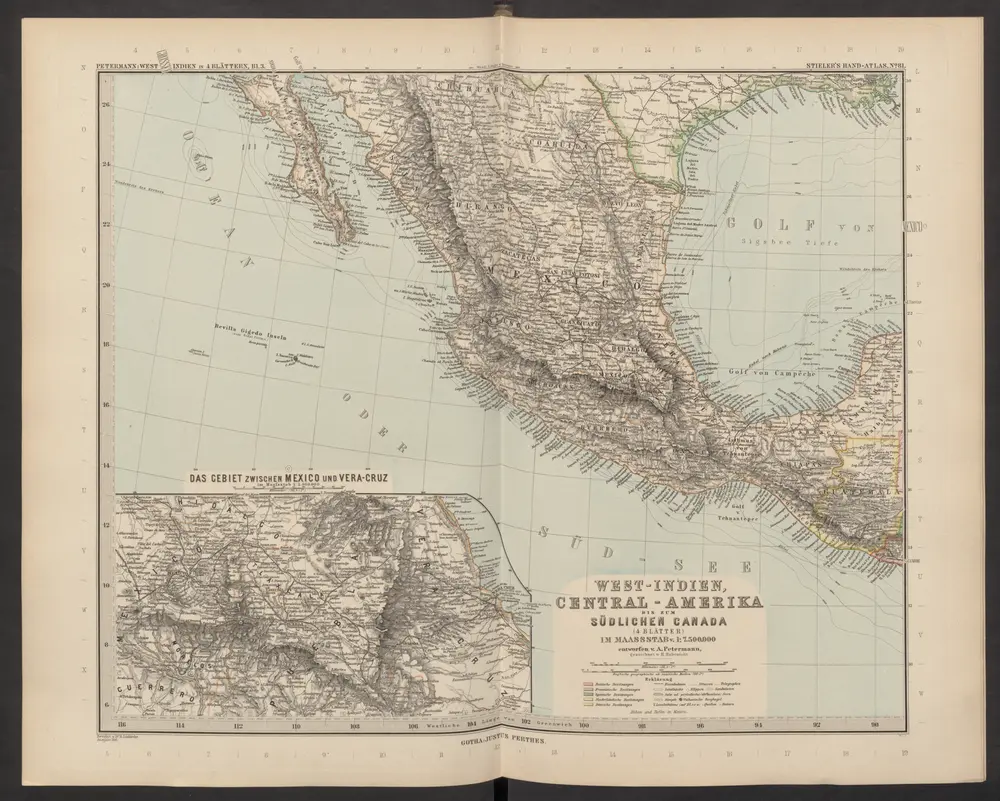
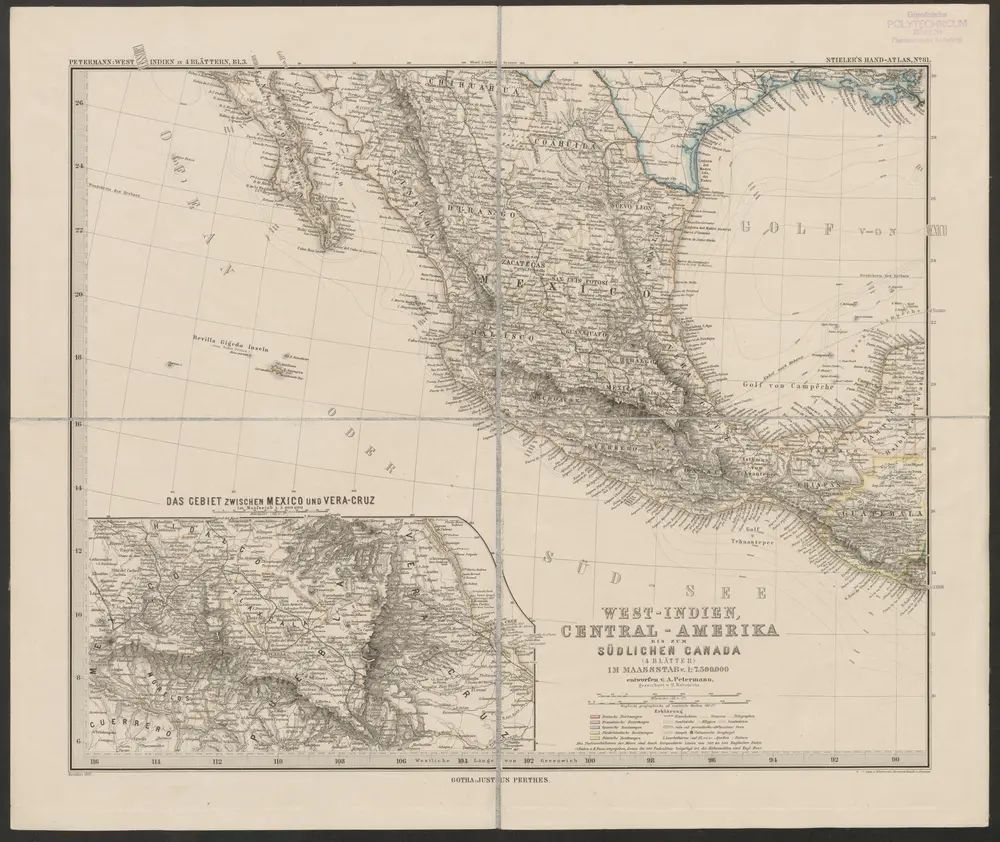
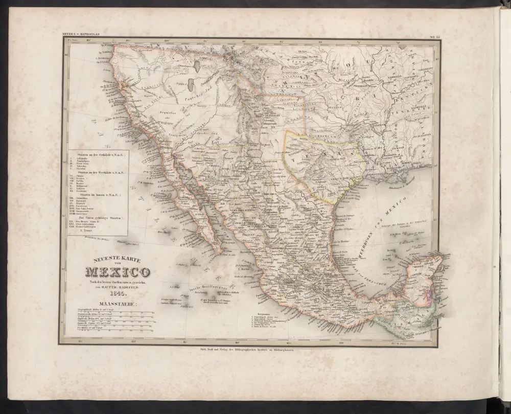
Verein-Staaten von Nord-America, Mexico, Yucatan u.A.

Hand-Atlas über alle Theile der Erde nach dem neuesten Zustande und über das Weltgebäude Stieler, Adolf bei Justus Perthes
$title$

Map Of The United States, Canada, Mexico, Central America, West Indies, &c.

1 : 3380000 Williams, G. Washington.
$title$

Central America.

1 : 16600000 Sharpe, J.
$title$

Vereinigte Staaten, Central-Amerika und Westindien

Volksschul-Atlas über alle Teile der Erde Lange, Henry Druck und Verlag von Georg Westermann
$title$

Map of the United States of America, the British provinces, Mexico, the West Indies and Central America, with part of New Granada and Venezuela / map drawn by Geo. W. Colton ; engraved by John M. Atwood ; border desig'd. & eng'd. by W. S. Barnard.

from Parts
$title$

Map of the United States

from Atlas of Madison County, New York : from actual surveys / by and under the direction of D. G. Beers.
$title$

Naval And Military Map Of The United States.

1 : 3300000 Smith, Robert P.
$title$

Washington Map of the United States.

1 : 13000000 Taintor, S. & Co.
$title$

[Map of the United States, showing the proposed railroad routes from coast to coast, with table of distances, etc.]

from Whole s.n.: [N.Y.?],
$title$

A new map of the United States of America

1 : 8750000 Facsimile. "The United States in 1856 as reproduced by Rand McNally & Company to commemorate its one hundredth anniversary in 1956." Relief shown by hachures. Shows railroad routes proposed to the Pacific Ocean. Includes insets: Gold region of California and District of Columbia. Longitude on top of map "West from Greenwich;" on bottom "East/West from Washington." Printed with ornamental border. "Entered according to Act of Congress in the year 1856 by Charles Desilver, in the Clerks office of the District court of the Eastern District of Pennsylvania." Screen reader support enabled. Young, J. H. (James Hamilton) Philadelphia : Published by Charles Desilver, 1856. ([Chicago] : Rand Mcnally 1956)
$title$

Map Of The United States Of America.

1 : 16526080 Colton, J. H.
$title$

Map of the United States of America, the British Provinces, Mexico, the West Indies and Central America, with part of New Granada and Venezuela

1 : 6400000 Colton, George Woolworth Colton, J. H. (Joseph Hutchins)
$title$

[Vereinigte Staaten von Nord-Amerika]

Hypsometrischer Atlas Ziegler, Jakob Melchior Topogr. Anstalt v. J. Wurster u. Comp.
$title$

Map of the United States, British & Central America : from state documents & unpublished materials

1 : 3540000
$title$

New National Map Exhibiting The United States

1 : 3800000 Mitchell, Samuel Augustus
$title$

Map Of The United States And Mexico.

1 : 3540000 Stanford, Edward
$title$

Our Country, Present & Prospective.

1 : 3801600 Gaston, Samuel N.
$title$

Diagram of the United States of America, Mexico, the West India Islands and Isthmus of Darien : showing proposed routes of the Pacific Rail Road ...

1 : 6500000 Steiger, W. T. United States. General Land Office
$title$

Map of the United States

from County atlas of Cayuga, New York. From recent and actual surveys and records under the superintendence of F. W. Beers.
$title$

Map Of The United States, Canada, Mexico, Central America, and the West India Islands.

1 : 12500000 Atwood, J.M.
© MapTiler © OpenStreetMap contributors
How does it work?
These instructions will show you how to find historical maps online.
Getting started
Type the place name in the search box to find the exact location. You can further adjust the search by zooming in and out.
Zoom
Zoom in and out with the buttons or use your mouse or touchpad natively.
Exact Area tool
Click here and draw a rectangle over the map to precisely define the search area.
Set filters
Narrow your search with advanced settings, such as Years (from/to), Fulltext, Publisher, etc.
Results
See the results of your search on the right side. You can scroll down to find more maps of this location.
?

Download OldMapsOnline Mobile