Cataloged map
Routes between New-York & Washington / drawn by I. Smith, geographer.
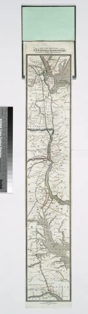

Full title:Routes between New-York & Washington / drawn by I. Smith, geographer.
Physical Size:20 x 30 cm
The province of New Jersey, divided into east and west, commonly called the Jerseys
1778
Faden, William
1:430k
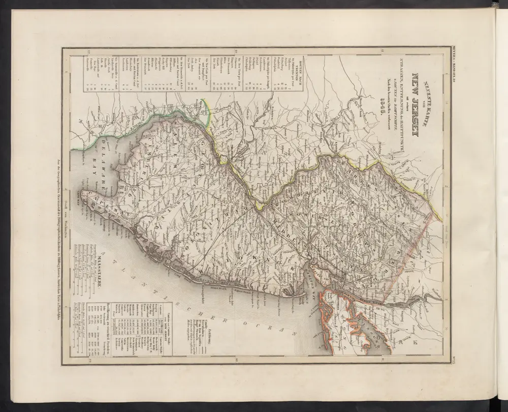
[Neueste Karte von New Jersey mit seinen Strassen, Entfernungen der Hauptpunkte und Routen für Dampfschiffe]
1860
Meyer, J.
A New and accurate map of the present seat of war in North America, comprehending New Jersey, Philadelphia, Pensylvania, New-York, &c.
1777
1:550k
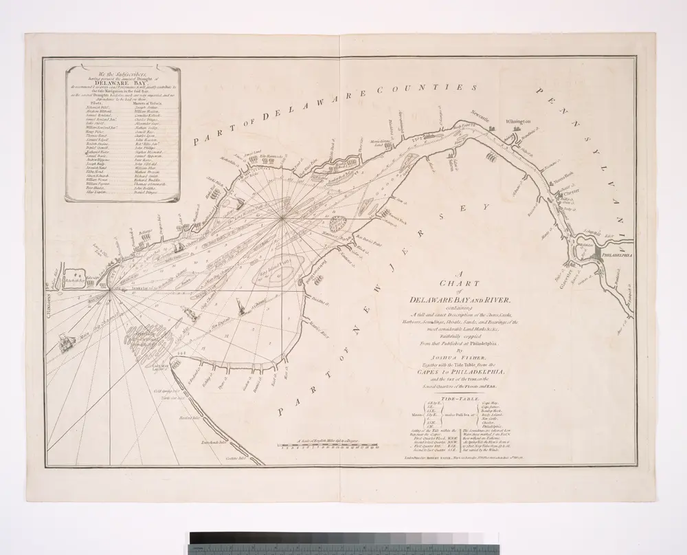
A chart of Delaware Bay and River : containing a full and exact description of the shores, creeks, harbours, soundings, shoals, sands, and bearings of the most considerable land marks &c. &c. / faithfully coppied [sic] from that published at Philadelphia
1800
Wilmington
1972
1:250k
Wilmington
1972
1:250k
Wilmington
1966
1:250k
Wilmington
1966
1:250k
Wilmington
1966
1:250k
Wilmington
1959
1:250k
Wilmington
1946
1:250k