Cataloged map
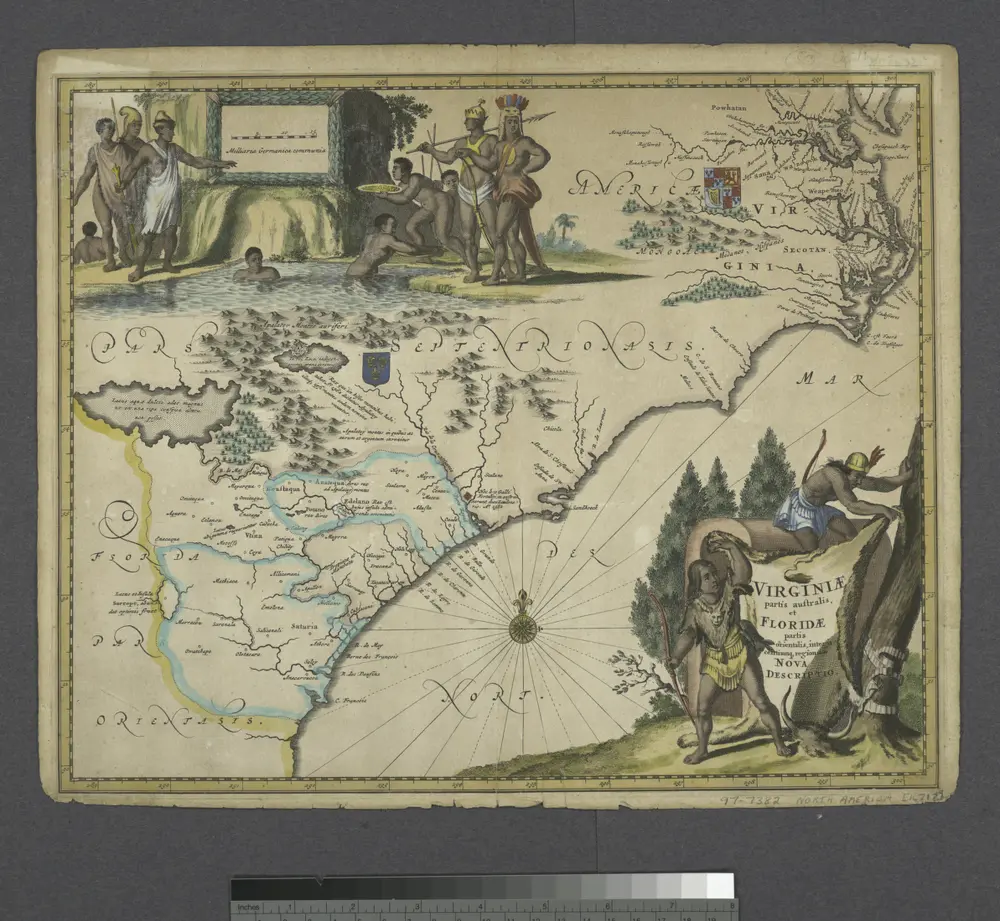
Virginiae partis australis, et Floridae partis orientalis, interjacentiumq[ue] regionum nova descriptio.

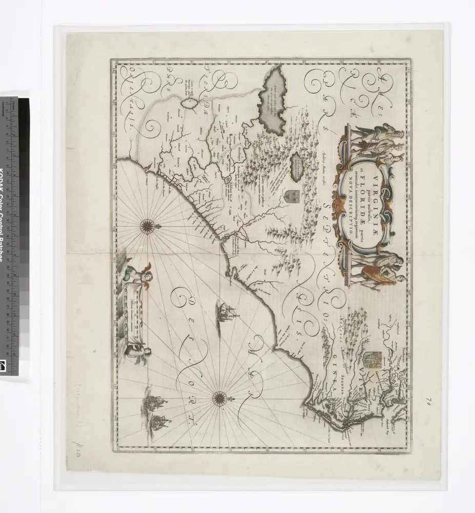
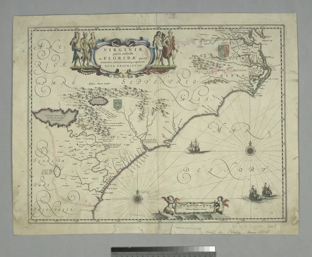
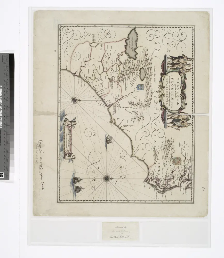
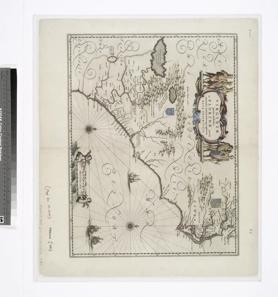
Full title:Virginiae partis australis, et Floridae partis orientalis, interjacentiumq[ue] regionum nova descriptio.
Depicted:1638
Physical Size:20 x 30 cm
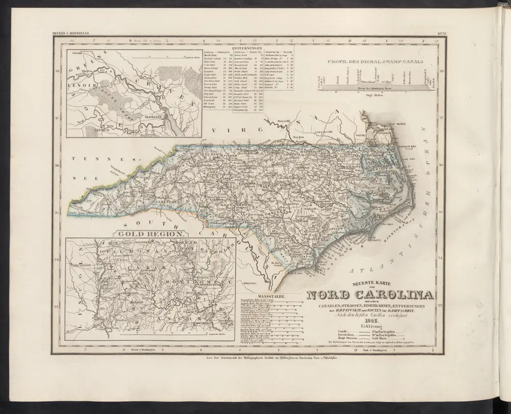
Neueste Karte von Nord Carolina mit seinen Canaelen, Strassen, Eisenbahnen, Entfernungen der Hauptpunkte und Routen für Dampfschiffe
1860
Meyer, J.
Nouvelle carte de la Caroline / par R. Morden.; L'Amerique angloise, ou Description des isles et terres du roi d'Angleterre, dans l'Amérique. Avec de nouvelles cartes de chaque isle & terres. Traduit de l'anglois.
1688
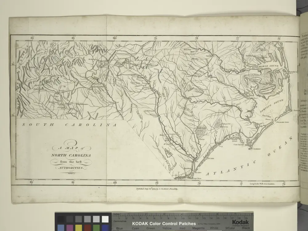
A map of North Carolina, from the best authorities.
1794
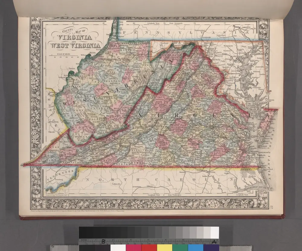
County map of Virginia and West Virginia.
1860
The marches of Lord Cornwallis in the southern provinces, now states of North America, comprehending the two Carolinas, with Virginia and Maryland, and the Delaware counties
1787
Faden, William
1:2m
Virginiae partis australis, et Floridae partis orientalis, interjacentiumq[ue] regionum, nova descriptio.
1671
Virginiae partis australis, et Floridae partis orientalis, interjacentiumq[ue] regionum nova descriptio.
1650
Virginiae partis australis et Floridae partis orientalis interjacentimq[ue] regionum, nova descriptio.
1644

Virginiae partis australis, et Floridae partis orientalis, interjacentiumq[ue] regionum nova descriptio.
1640
Virginiae partis australis, et Floridae partis orientalis, interjacentiumq[ue] regionum nova descriptio.
1640
Virginiae partis australis, et Floridae partis orientalis, interjacentiumq[ue] regionum nova descriptio.
1638
Virginiae partis australis, et Floridae partis orientalis, interjacentiumq[ue] regionum nova descriptio.
1638