Cataloged map
Map of the county of Greene / by David H. Burr ; engd. by Rawdon, Clark & Co., Albany, & Rawdon, Wright & Co., New York.
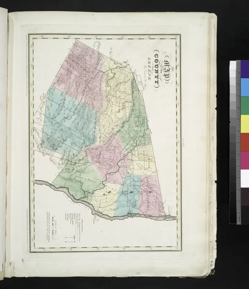

Full title:Map of the county of Greene / by David H. Burr ; engd. by Rawdon, Clark & Co., Albany, & Rawdon, Wright & Co., New York.
Depicted:1829
Physical Size:20 x 30 cm
Gilboa
1903
1:63k
Gilboa
1903
1:63k
Gilboa
1903
1:63k
Gilboa
1903
1:63k
Gilboa
1903
1:63k
Gilboa
1903
1:63k
Gilboa
1903
1:63k
Gilboa
1903
1:63k
Gilboa
1903
1:63k
Gilboa
1901
1:63k
Durham
1894
1:63k
Durham
1894
1:63k
Durham
1894
1:63k
Durham
1894
1:63k
Durham
1894
1:63k
Durham
1894
1:63k
Durham
1894
1:63k
Durham
1894
1:63k
Durham
1894
1:63k
Durham
1894
1:63k
Durham
1893
1:63k