Mappa catalogata
Sunset Park, Bush Terminal. (cont.)


Titolo completo:Sunset Park, Bush Terminal. (cont.)
Dimensione fisica:20 x 30 cm
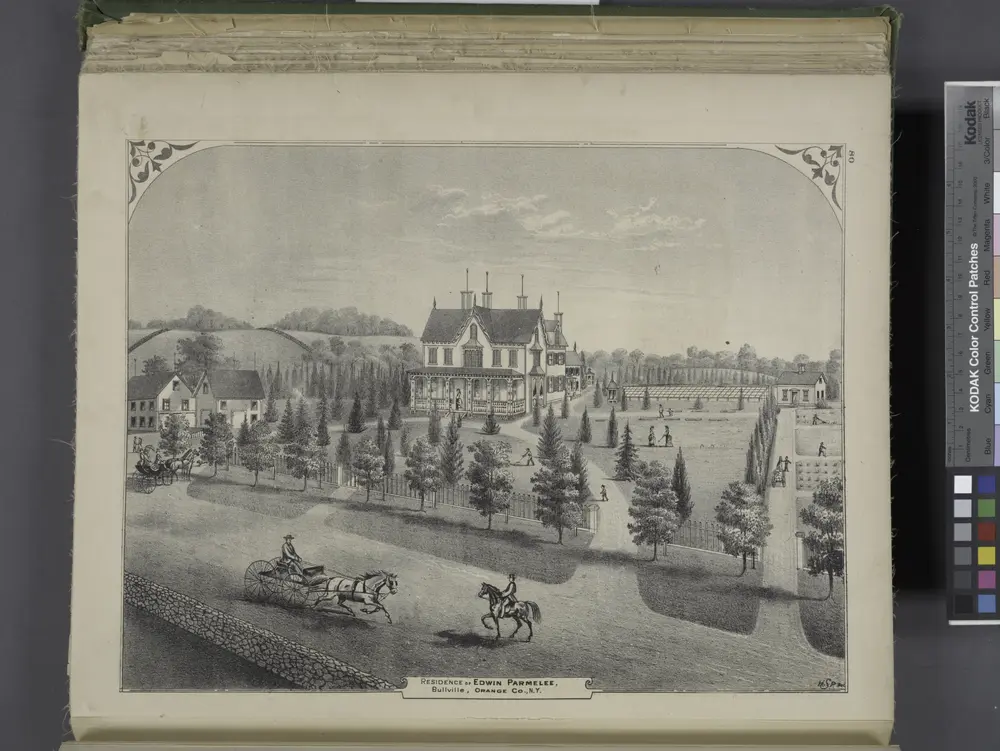
Residence of Edwin Parmelee, Bullville, Orange Co., N.Y.
1875
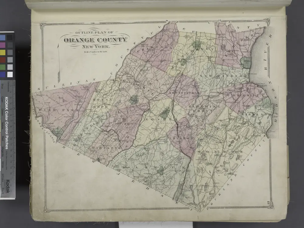
Outline Plan of Orange County New York.
1875
Middletown
1986
1:100k
Middletown
1986
1:100k
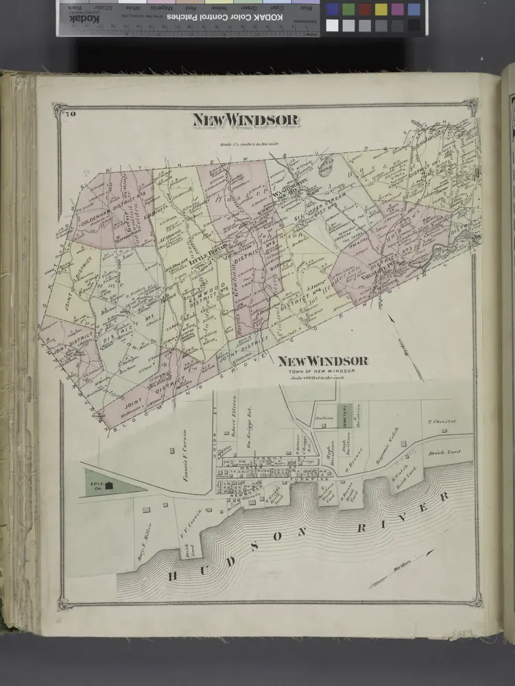
New Windsor [Township]; New Windsor [Village]
1875
Goshen
1946
1:63k
Goshen
1938
1:63k
Schunemunk
1935
1:63k
Schunemunk
1935
1:63k
Schunemunk
1935
1:63k
Schunemunk
1930
1:48k
Schunemunk
1930
1:63k
Schunemunk
1930
1:63k
Port Jervis
1908
1:63k
Port Jervis
1908
1:63k
Port Jervis
1908
1:63k
Port Jervis
1908
1:63k
Goshen
1908
1:63k
Goshen
1908
1:63k
Goshen
1908
1:63k
Goshen
1908
1:63k
Goshen
1908
1:63k
Port Jervis
1906
1:63k
Goshen
1906
1:63k
Goshen
1906
1:63k
Schunemunk
1902
1:63k
Schunemunk
1902
1:63k
Schunemunk
1902
1:63k
Schunemunk
1902
1:63k
Schunemunk
1902
1:63k
Schunemunk
1902
1:63k
Schunemunk
1902
1:63k
Schunemunk
1902
1:63k
Schunemunk
1902
1:63k
Schunemunk
1902
1:63k