Maps of Queens County

Maps of Queens County

$title$

Williamsburg, Greenpoint. (cont.)

From District 1
$title$

Map of Newtown Creek and vicinity [and factories nearby.]

From Brooklyn
$title$

Plan of the city of Brooklyn...East New York, with part of Long Island City and Flatbush.

From Brooklyn
$title$

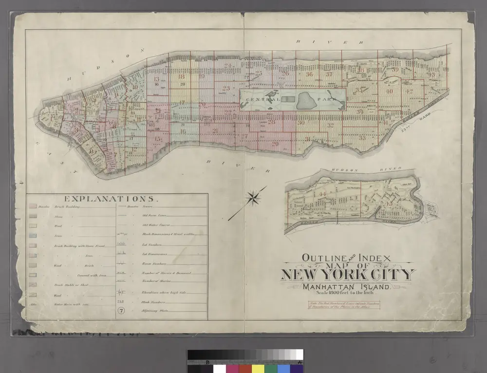
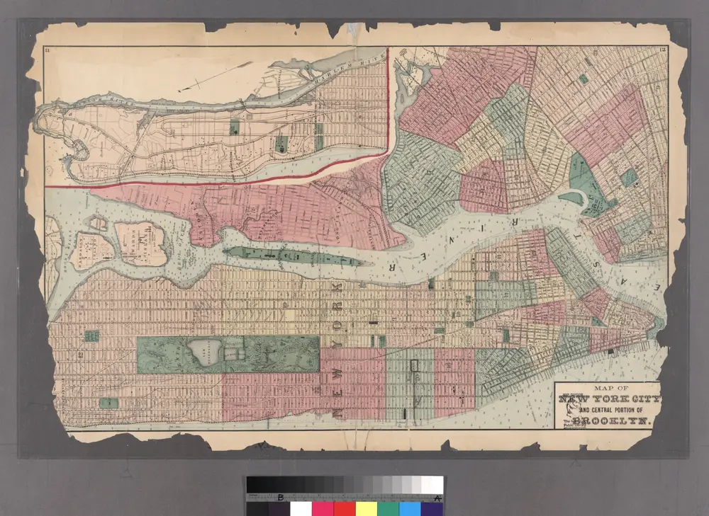
Map of New York City, south of 46th St.

From Manhattan
$title$

Insurance Maps of the Brooklyn city of New York Volume Four. Published by the Sanborn map co. 117, Broadway, New York. 1887.

From Atlas 74. Vol. 4, 1887.
$title$

Map and plan showing the street system in the 1st ward of the borough of Queens, formerly Long Island City.

From Queens
$title$

Plan of the city of Brooklyn, L.I. / by William Perris.

from Brooklyn
$title$

Brooklyn, Double Page Section 1; [Including wards 13, 14, 15, 16, 17, 18, 19]

from Farm line map of the city of Brooklyn, from official records and surveys; comp. and drawn by Henry Fulton.
$title$

Sheet 8: Map encompassing Greenpoint and North Williamsburg.

from Map of the city of Brooklyn : being the former cities of Brooklyn & Williamsburgh and the town of Bushwick, as consolidated January 1st, 1855 by an act of the legislature of the State of New York ... showing also a part of the City of New York.
$title$

Insurance Maps of The City of New York Surveyed and Published by Perris & Browne 55 Liberty St. Volume Two. 1868.; Street Index.

from Insurance maps of the city of New York.
$title$

Brooklyn, Double Page Section 4; [Including Wards 16, 18, 19, 21, 25]

from Farm line map of the city of Brooklyn, from official records and surveys; comp. and drawn by Henry Fulton.
$title$

Sheet 7: Map encompassing Williamsburg, E. Williamsburg and Bushwick.

from Map of the city of Brooklyn : being the former cities of Brooklyn & Williamsburgh and the town of Bushwick, as consolidated January 1st, 1855 by an act of the legislature of the State of New York ... showing also a part of the City of New York.
$title$

Liqordom in New York City.

From Manhattan
$title$

New York S.

1 : 21120 Letts, Son & Co.
$title$

City of New-York / W. Kemble.

from Manhattan
$title$

Plan of the city of Brooklyn, L.I. / by William Perris.

from Brooklyn
$title$

Area District Map Section No. 13

from Area district map / City of New York, Board of Estimate and Apportionment.
$title$

Plan of the city of Brooklyn, L.I. / by William Perris.

from Brooklyn
$title$

A map of the village of Williamsburgh, Kings County, N.Y. : showing each lot of ground in said village, as laid down on the assessment of the village, together with the assessment number of each lot / made by Isaac [V]ieth, under the supervision of Henry

from Brooklyn
$title$

Area Zoning Map Section No. 13

From Area zoning map of the city of New York, compiled in the Dept. of City Planning, Division of Mapping and Zoning, May 27, 1953. Irving F. Ashworth, senior civil engineer.
$title$

A new map of the city of New York : comprising all the late improvements, compiled and corrected from authentic documents, designed to accompany the Description of New York.

from Manhattan
$title$

City Of New York.

1 : 17000 Tanner, Henry S.
$title$

Plan of the city of Brooklyn, L.I. / by William Perris.

from Brooklyn
$title$

Plan of the city of New York in North America : surveyed in the years 1766 & 1767 / B. Ratzer, lieutt. in His Majestys 60th or Royal American Regt. ; Thos. Kitchin, sculpt., engraver to His Late Royal Highness, the Duke of York, &c.

From Manhattan
$title$

A new map of the city of New York : comprising all the late improvements, compiled and corrected from authentic documents.

from Manhattan
$title$

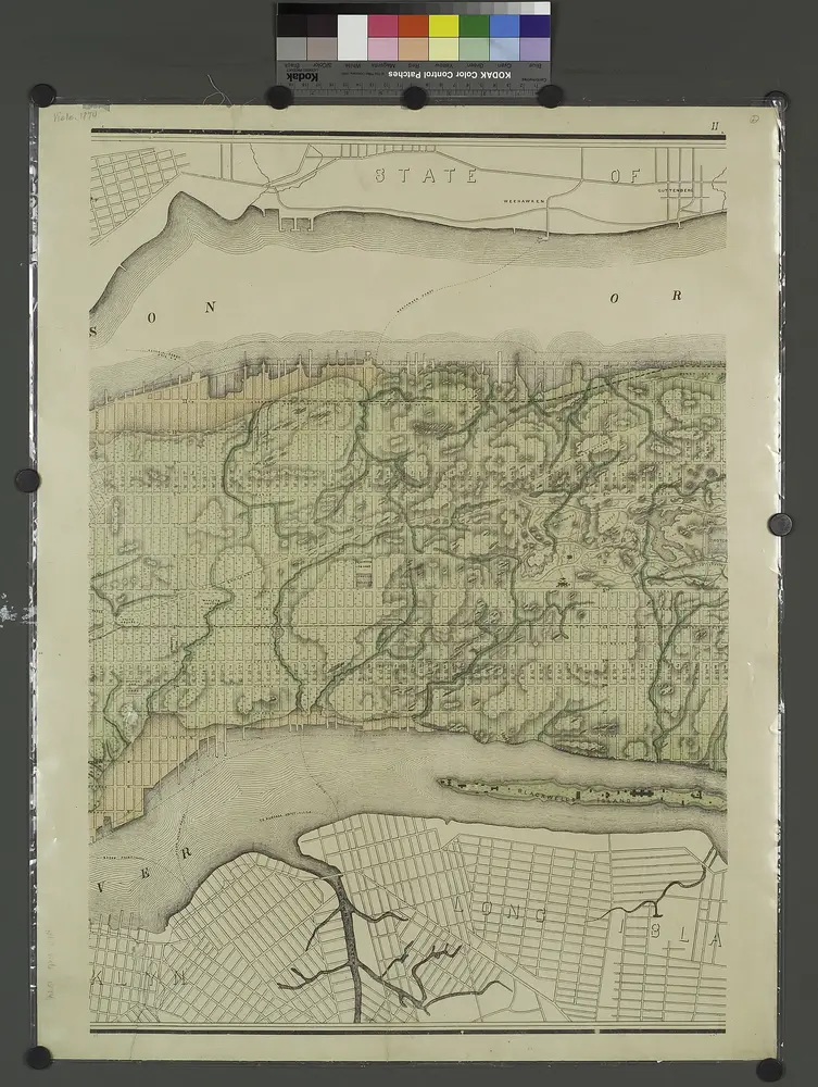
Map of the city of New York, shewing the original high water line and the location of the different farms and estates

Common Council
$title$

A new map of the city of New York : comprising all the late improvements, compiled and corrected from authentic documents.

from Manhattan
$title$

Sheet 6: Map encompassing Boerum Hill, Cobble Hill, Brooklyn Heights, Downtown Brooklyn, Vinegar Hill, Fort Greene, Clinton Hill, Brooklyn Navy Yard and South Williamsburg.

from Map of the city of Brooklyn : being the former cities of Brooklyn & Williamsburgh and the town of Bushwick, as consolidated January 1st, 1855 by an act of the legislature of the State of New York ... showing also a part of the City of New York.
$title$

City of New-York

1 : 12500 Burr, David H., 1803-1875 Edward Walker
$title$

Key

From Atlas 137a. Vol. 3, 1914.
© MapTiler © OpenStreetMap contributors
How does it work?
These instructions will show you how to find historical maps online.
Getting started
Type the place name in the search box to find the exact location. You can further adjust the search by zooming in and out.
Zoom
Zoom in and out with the buttons or use your mouse or touchpad natively.
Exact Area tool
Click here and draw a rectangle over the map to precisely define the search area.
Set filters
Narrow your search with advanced settings, such as Years (from/to), Fulltext, Publisher, etc.
Results
See the results of your search on the right side. You can scroll down to find more maps of this location.
?

Download OldMapsOnline Mobile