编目地图
Jersey City, V. 1, Double Page Plate No. 40 [Map bounded by E. 40th St., New York Bay, E. 21st St.] / compiled under the direction of and published by G.M. Hopkins Co.


完整标题:Jersey City, V. 1, Double Page Plate No. 40 [Map bounded by E. 40th St., New York Bay, E. 21st St.] / compiled under the direction of and published by G.M. Hopkins Co.
物理尺寸:20 x 30 cm
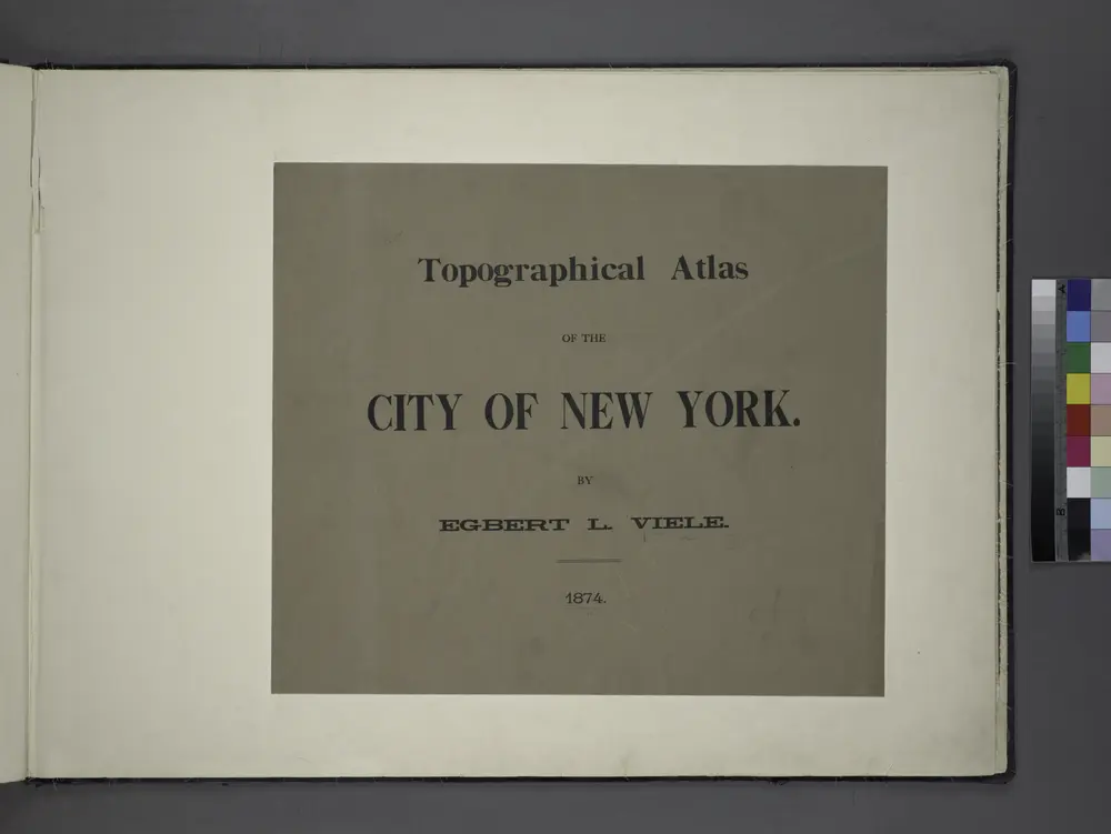
Topographical atlas of the City of New York / by Egbert L. Viele.
1874
Jersey City
1967
1:24k
Jersey City
1967
1:24k
Jersey City
1955
1:24k
Jersey City
1955
1:24k
Jersey City
1947
1:24k
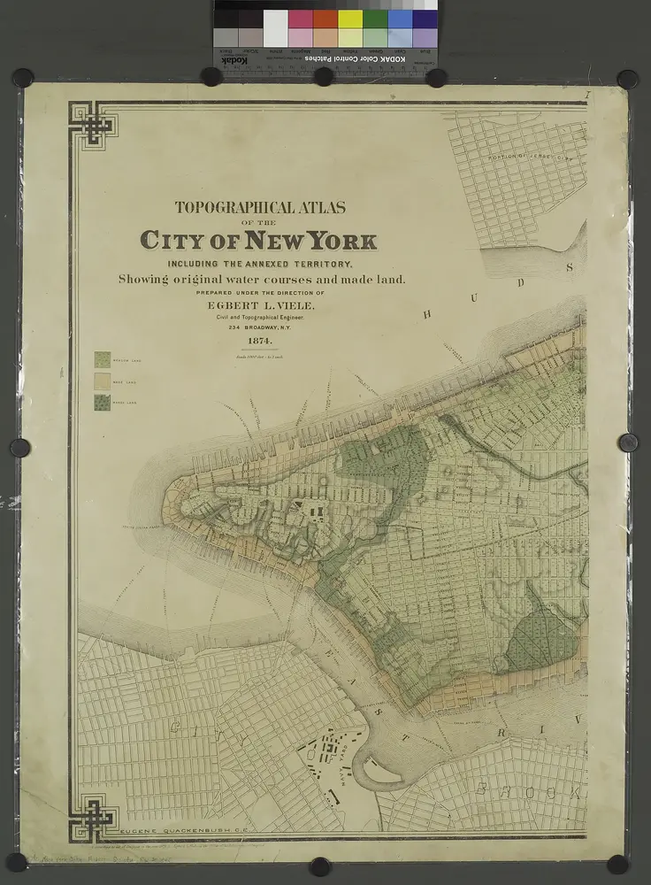
Topographical atlas of the city of New York, including the annexed territory showing original water courses and made land. / prepared under the direction of Egbert L. Viele.
1874
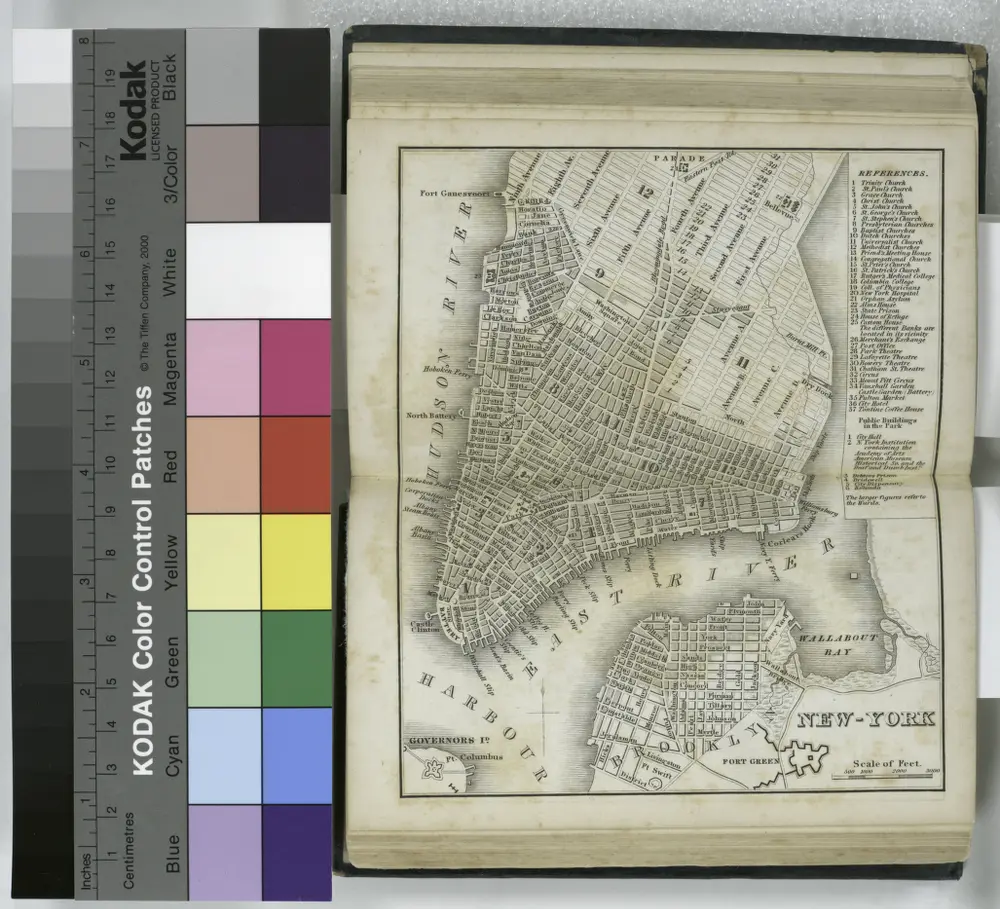
New-York.
1836
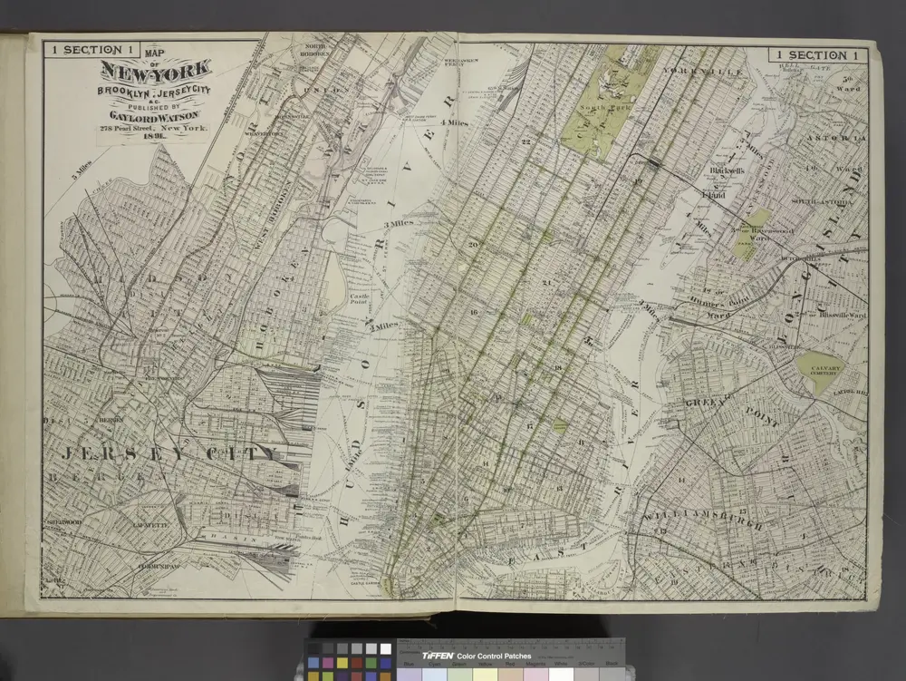
Map of New York, Brooklyn, Jersey City& c.
1891
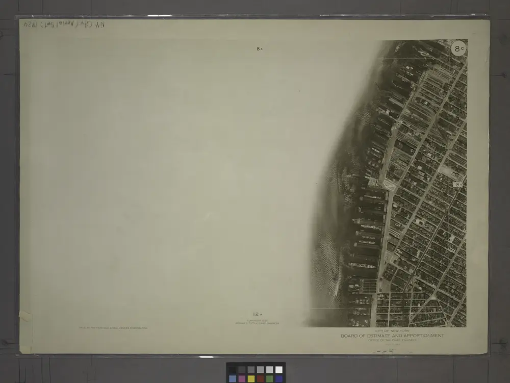
8C - N.Y. City (Aerial Set).
1924