Project
Community
News
My maps
Mappa catalogata
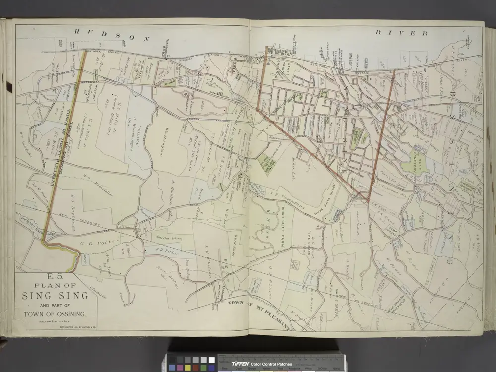
Plan of Sing Sing and part of Town of Ossining.
View on external website
Titolo completo:
Plan of Sing Sing and part of Town of Ossining.
Anno di illustrazione:
1891
Dimensione fisica:
20 x 30 cm
Catalog
maps.nypl.org
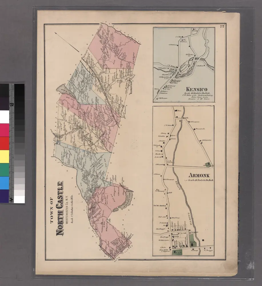
Plate 72: Town of North Castle, Westchester Co. N.Y.
1872
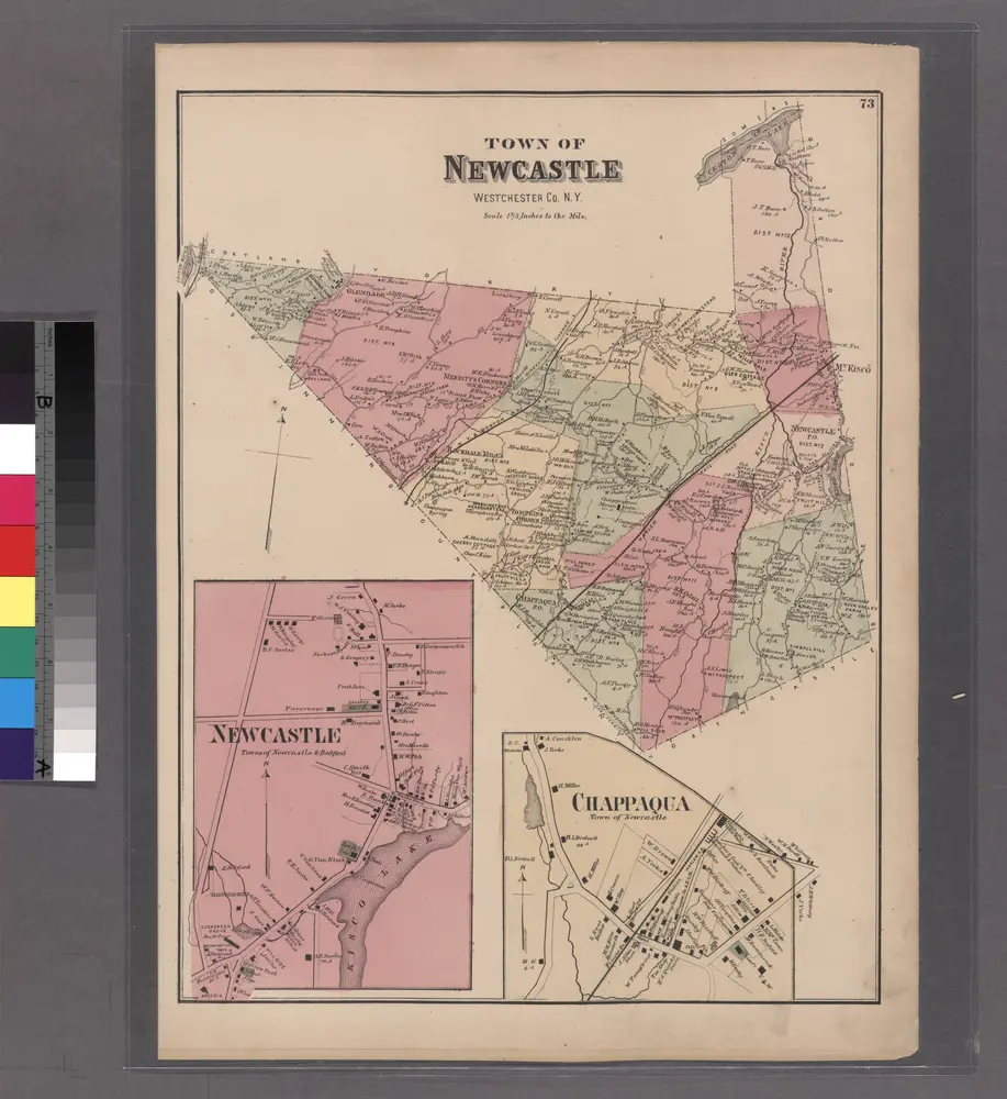
Plate 73: Town of Newcastle, Westchester Co. N.Y.
1872
Tarrytown
1902
1:63k
Tarrytown
1902
1:63k
Tarrytown
1902
1:63k
Tarrytown
1902
1:63k
Tarrytown
1902
1:63k
Tarrytown
1902
1:63k
Tarrytown
1902
1:63k
Tarrytown
1902
1:63k
Tarrytown
1902
1:63k
Tarrytown
1892
1:63k
La storia