Cataloged map
Part of Wards 1 & 3. [Map bound by College Ave (Indiana), Jewett Ave, Richmond Turnpike, Byrne Ave, Kell Ave, Ingram Ave, Caswell Ave, Willowbrook Road, Watchogue Road (Butcherville RD), Vedder Ave]; Atlas of the city of New York, borough of Richmond, Staten Island. From actual surveys and original plans, by George W. and Walter S. Bromley.


Full title:Part of Wards 1 & 3. [Map bound by College Ave (Indiana), Jewett Ave, Richmond Turnpike, Byrne Ave, Kell Ave, Ingram Ave, Caswell Ave, Willowbrook Road, Watchogue Road (Butcherville RD), Vedder Ave]; Atlas of the city of New York, borough of Richmond, Staten Island. From actual surveys and original plans, by George W. and Walter S. Bromley.
Depicted:1917
Physical Size:20 x 30 cm
Arthur Kill
1966
1:24k
Arthur Kill
1966
1:24k
Arthur Kill
1966
1:24k
Arthur Kill
1966
1:24k
Arthur Kill
1955
1:24k
Arthur Kill
1955
1:24k
Arthur Kill
1947
1:24k
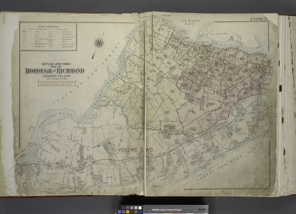
Outline & Index Map of The Borough of Richmond (Staten Island); Explanation; Note.
1917
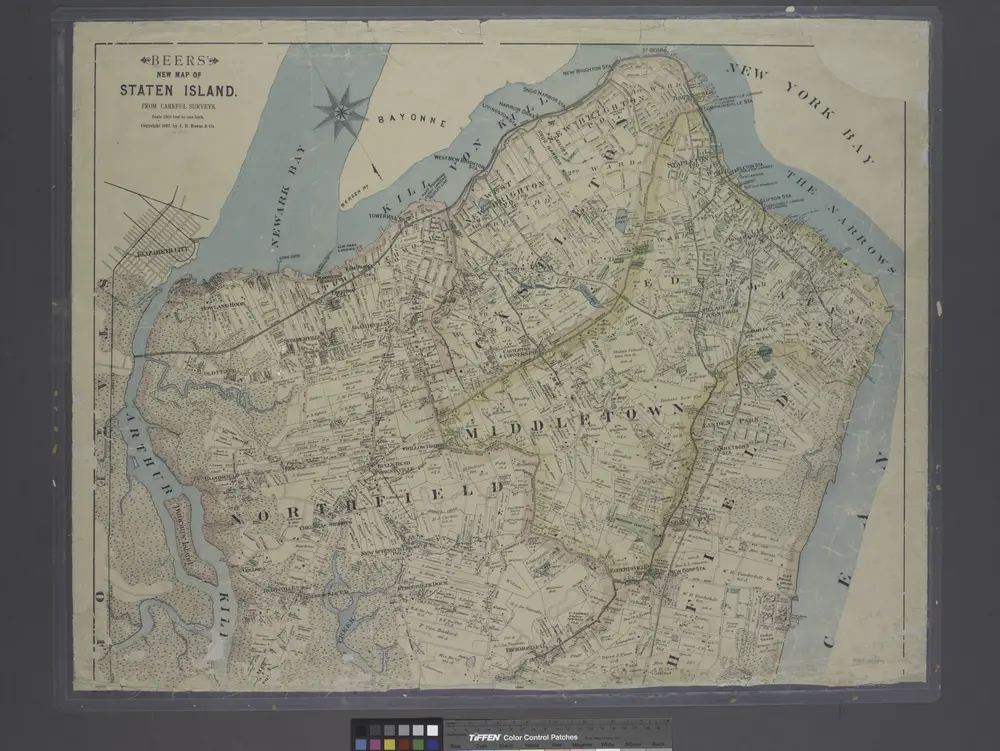
New map of Staten Island
1887
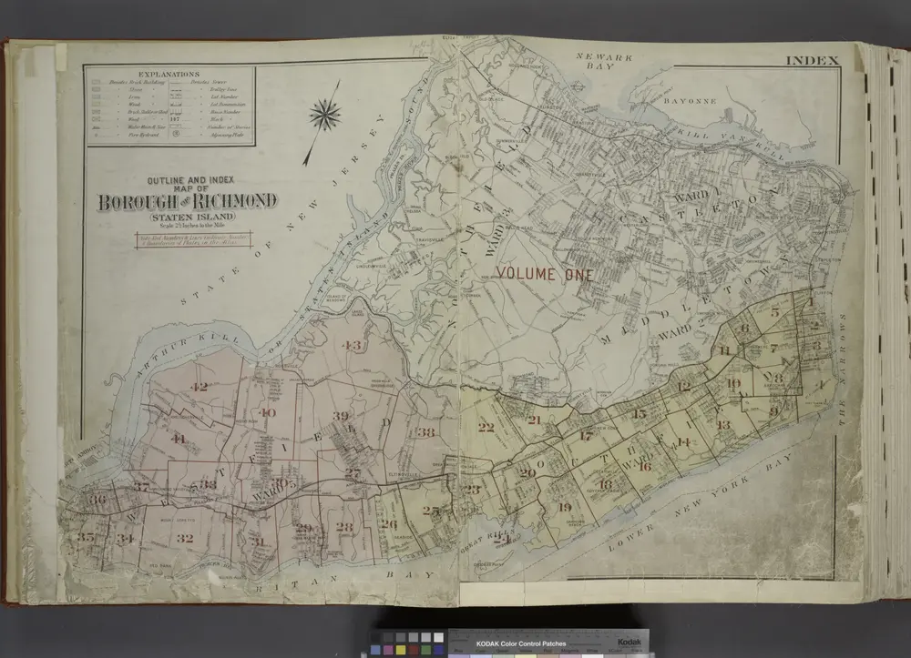
Outline & Index Map of The Borough of Richmond (Staten Island); Explanation; Note.
1917