Mapa catalogado
Part of Ward 3. [Map bound by Union Ave, Staten Island Rapid Transit R.R., De Hart Ave (Central Ave), Richmond Terrace, Pierhead and Bulkhead Line, Winant St (Monroe Ave), Simonson Ave, Van Name Ave, Van Pelt Ave, Maple Ave]


Título completo:Part of Ward 3. [Map bound by Union Ave, Staten Island Rapid Transit R.R., De Hart Ave (Central Ave), Richmond Terrace, Pierhead and Bulkhead Line, Winant St (Monroe Ave), Simonson Ave, Van Name Ave, Van Pelt Ave, Maple Ave]
Año de ilustración:1917
Tamaño físico:20 x 30 cm
Elizabeth
1995
1:24k
Elizabeth
1967
1:24k
Elizabeth
1967
1:24k
Elizabeth
1967
1:24k
Elizabeth
1955
1:24k
Elizabeth
1955
1:24k
Elizabeth
1947
1:24k
Elizabeth
1947
1:24k
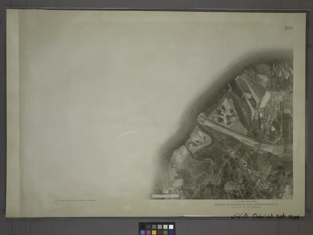
20A - N.Y. City (Aerial Set).
1924
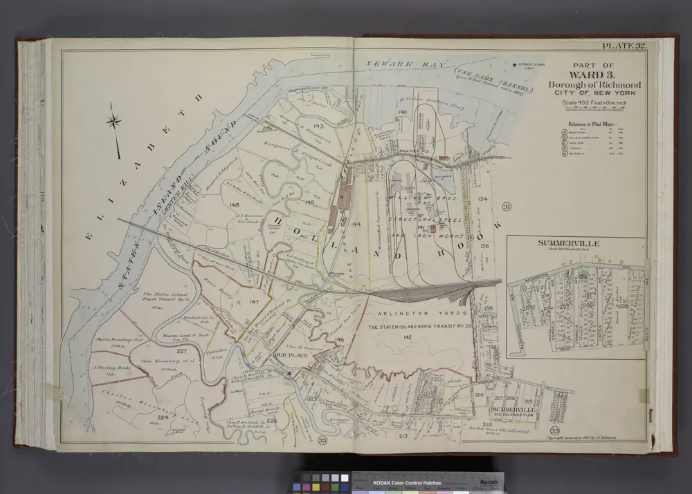
Part of Ward 3. [Map bound by State Line, Richmond (Shore Road) Terrace, Holland Ave, John St, Washington Ave, Irving PL, South Ave, Old Place Creek; Summerville - Washington Ave, South Ave, Irving PL, Garfield Ave, Dechen Ave]
1907