Mapa catalogado
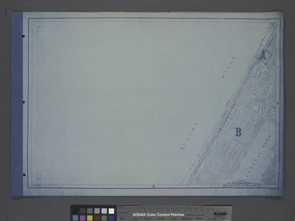
Height District Map Section No. 5; Height district map / City of New York, Board of Estimate and Apportionment.

Título completo:Height District Map Section No. 5; Height district map / City of New York, Board of Estimate and Apportionment.
Año de ilustración:1916
Tamaño físico:20 x 30 cm
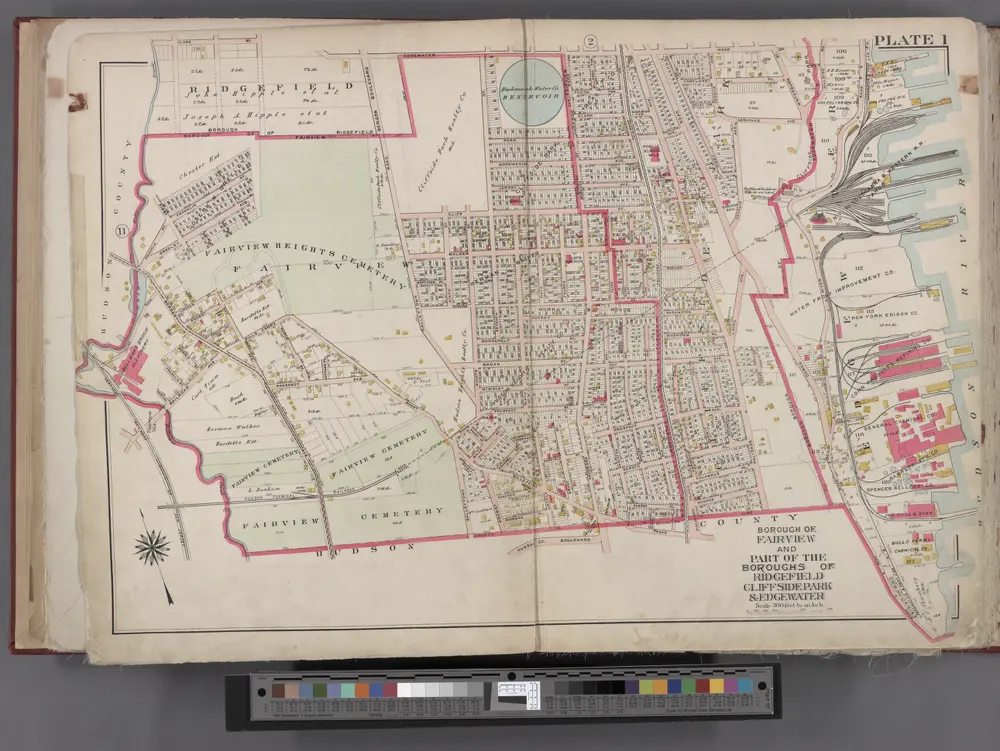
Bergen County, V. 1, Double Page Plate No. 1 [Map bounded by Edge Water Rd., Hudson River, Hudson County Blvd.] / by George W. and Walter S. Bromley.
1912
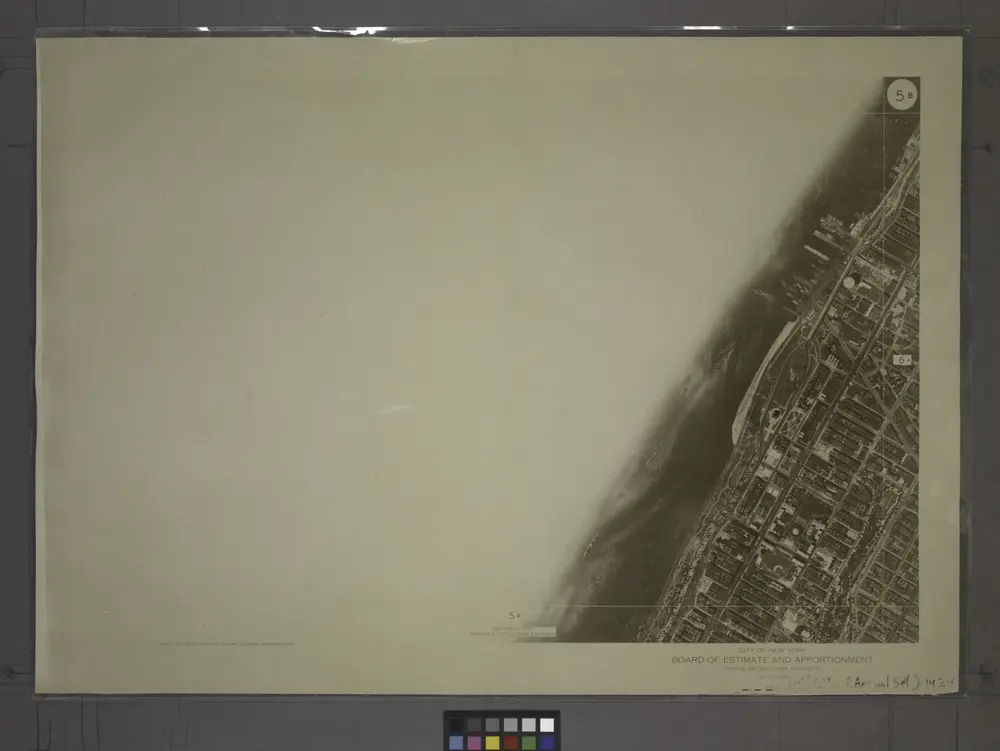
5B - N.Y. City (Aerial Set).
1924
Height District Map Section No. 5; Height district map / City of New York, Board of Estimate and Apportionment.
1916
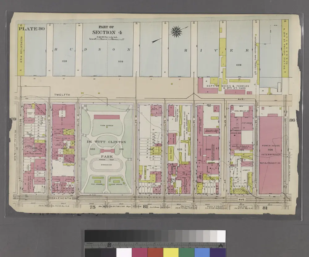
Part of Section 4 : Plate 80.
1916
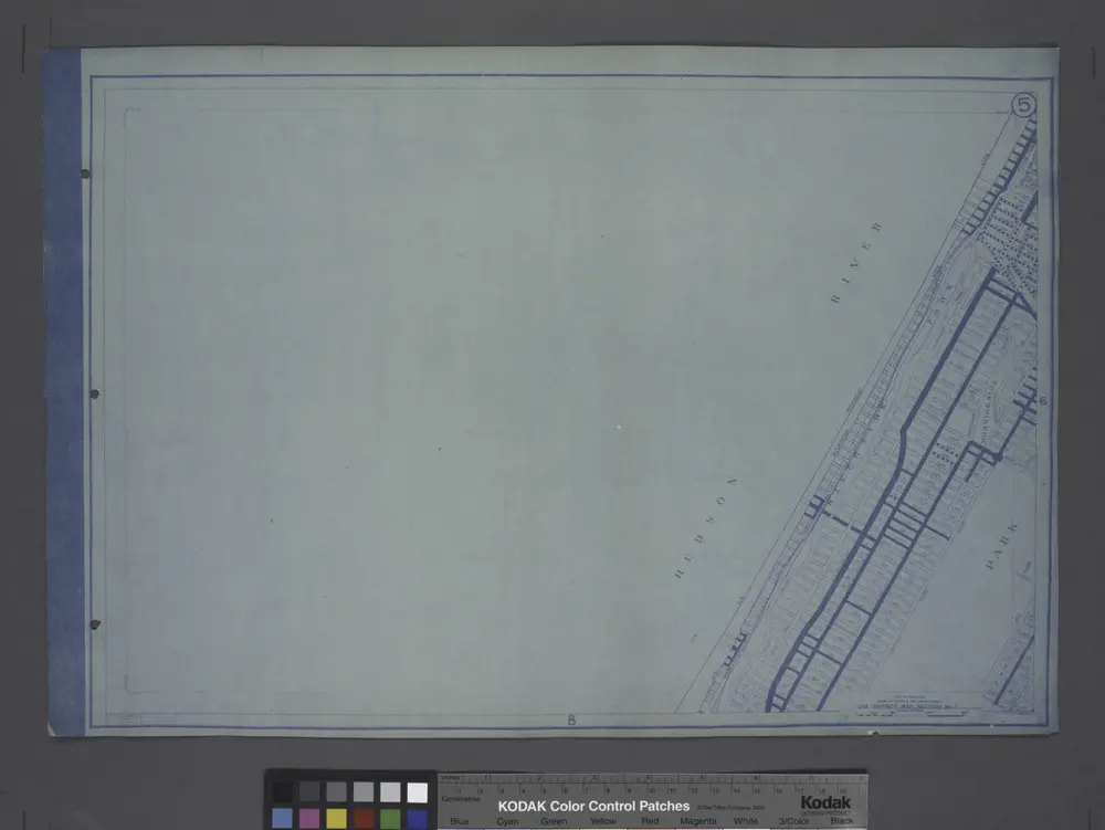
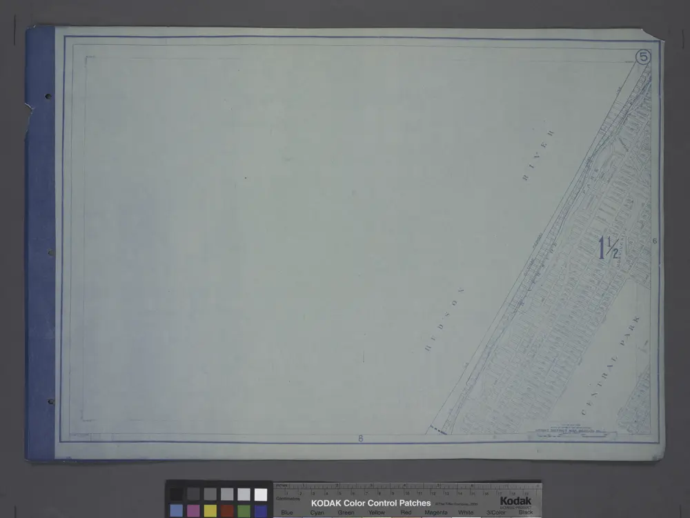
Use District Map Section No. 5
1916
Area District Map Section No. 5
1916
Front Cover
1916
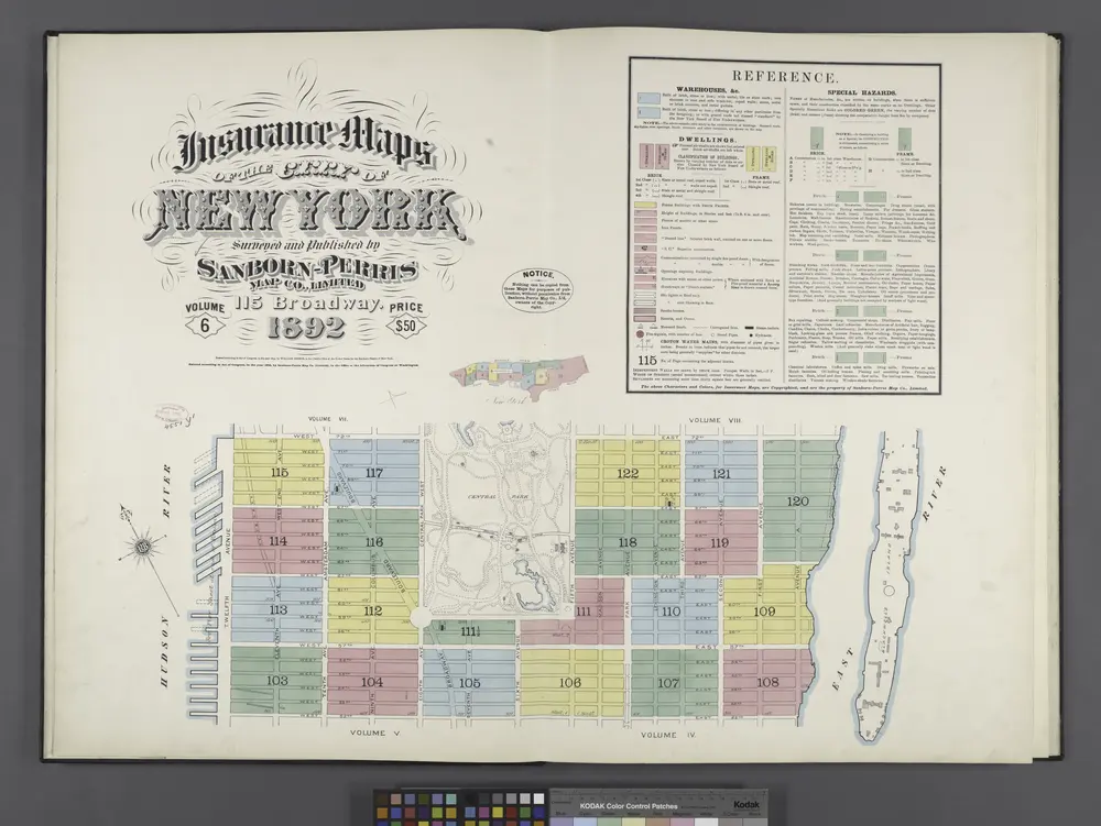
Insurance maps of the City of New York. Surveyed and published by Sanborn-Perris Map Co., Limited. 115 Broadway, 1892. Volume 6. / Key
1892
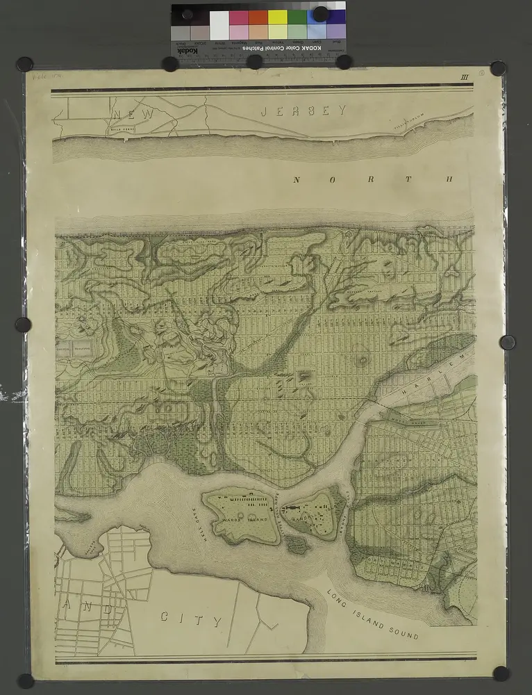
Topographical atlas of the city of New York, including the annexed territory showing original water courses and made land. / prepared under the direction of Egbert L. Viele.
1874
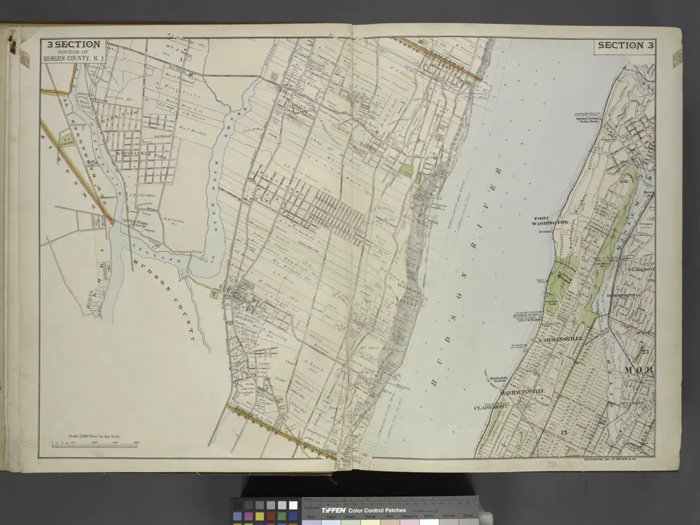
Portion of Bergen County, N.J.
1891