Project
Community
News
My maps
Mapa catalogado
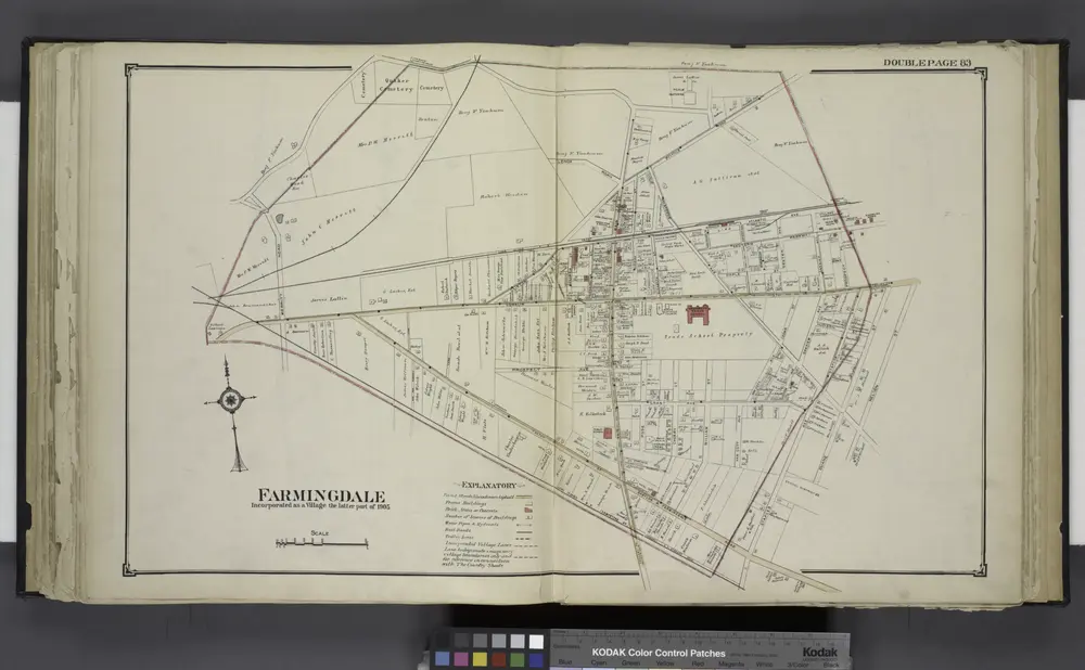
Farmingdale
View on external website
Título completo:
Farmingdale
Año de ilustración:
1914
Tamaño físico:
20 x 30 cm
Catalog
maps.nypl.org
Farmingdale
1914
Farmingdale (West) Central Park, Etc.
1914
Amityville
1994
1:24k
Amityville
1969
1:24k
Amityville
1969
1:24k
Amityville
1954
1:24k
Amityville
1947
1:24k
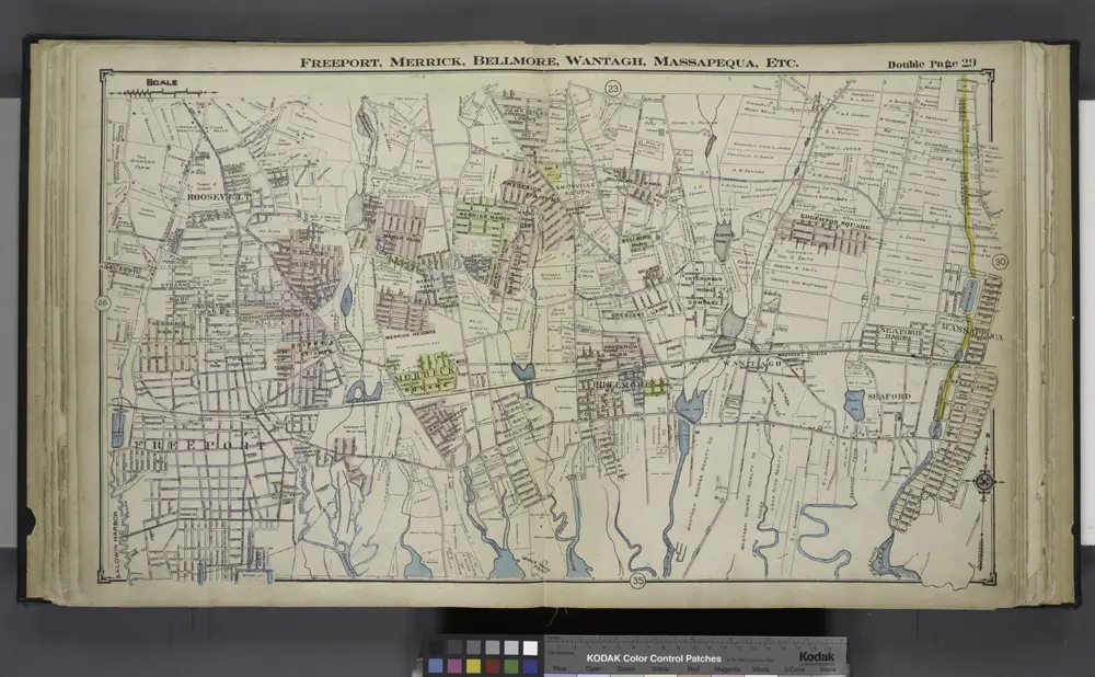
Freeport, Merrick, Belimore, Wantagh, Massapequa, Etc.
1914
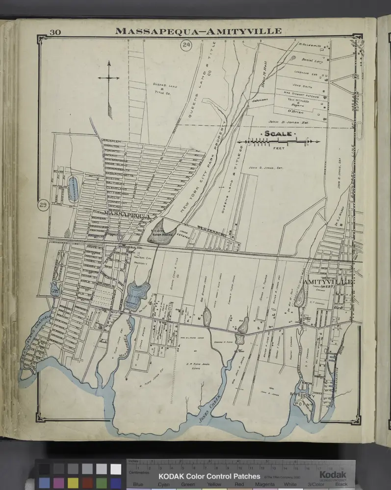
Massapequa - Amityville
1914
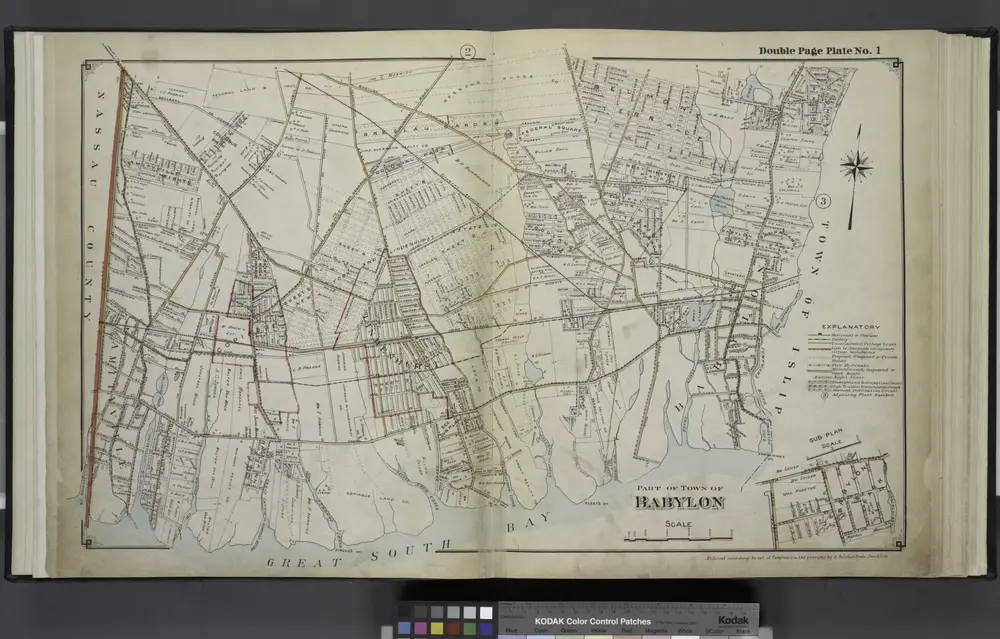
Part of Town Babylon
1915
Historia