Mapa catalogado
A new map of Great Britain.


Título completo:A new map of Great Britain.
Año de ilustración:1736
Tamaño físico:20 x 30 cm
n/a
1728
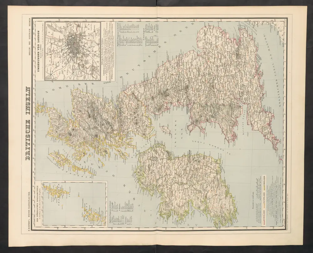
Britische Inseln
1860
Kiepert, Heinrich
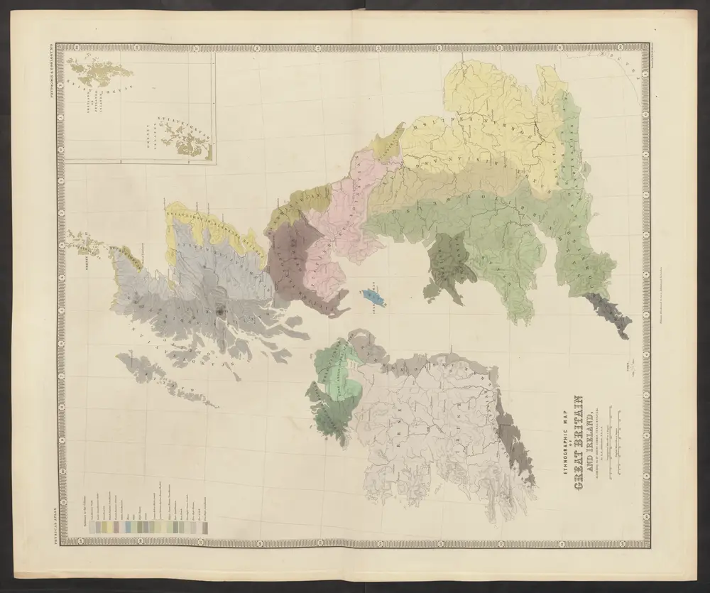
[Ethnographic Map of Great Britain and Ireland]
1850
Johnston, Alexander Keith
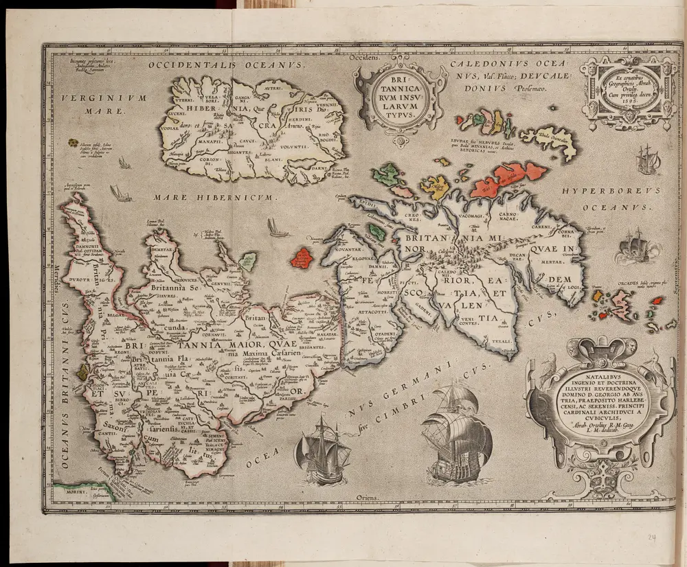
Britannicarum insularum typus / ex conatibus geographicis Abrah. Ortelius
1595
Ortelius, Abraham
1:3m

Atlas Novus indicibus instructus, Oder Neuer mit Wort=Registern versehener Atlas, mapa ze strany: [47]
1736
Seutter Matthäus
Tabula novissima accuratissima regnorum Angliæ, Scotiæ Hiberniæ
1780
Lotter
Tabula novissima accuratissima regnorum Angliæ, Scotiæ Hiberniæ
1730
Seutter
Nouvelle carte pour introduire a la geographie et a la genealogie des rois d'Angleterre et d'Ecosse
1739
Châtelain
Carte du gouvernement militaire d'Angleterre
1739
Châtelain
Insvlarvm britannicarvm acurata delineatio
1680
Ortelius; Janssonius; Keere