Cataloged map
Vol. 2. Plate, C. [Map bound by Division Pl., Newtown Creek, Orient St., Vandervoort Ave.; Including Amos St., Bennett St., Parker St., Benton St., Bullion St., Maspeth St., Porter Ave., Varick Ave., Stewart Ave., Cardner Ave., Scott Ave., Seneca Ave.]
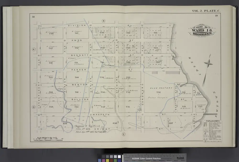

Full title:Vol. 2. Plate, C. [Map bound by Division Pl., Newtown Creek, Orient St., Vandervoort Ave.; Including Amos St., Bennett St., Parker St., Benton St., Bullion St., Maspeth St., Porter Ave., Varick Ave., Stewart Ave., Cardner Ave., Scott Ave., Seneca Ave.]
Depicted:1880
Physical Size:20 x 30 cm
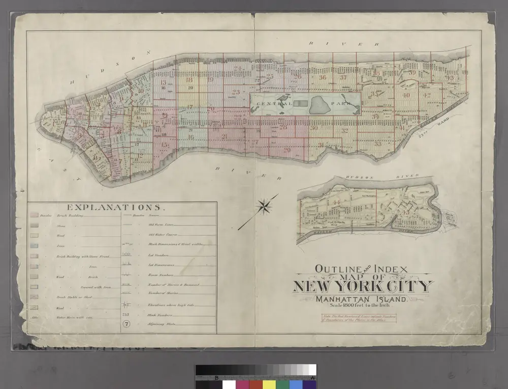
Outline and Index Map of Atlas of New York City : Manhattan Island.
1897
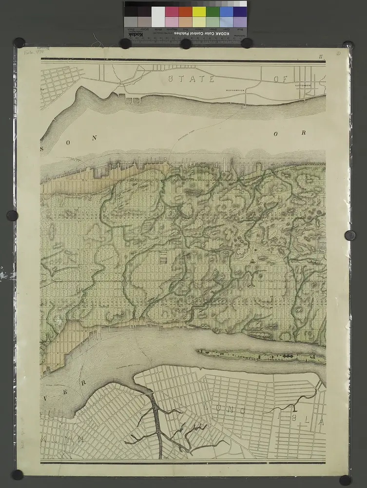
Topographical atlas of the city of New York, including the annexed territory showing original water courses and made land. / prepared under the direction of Egbert L. Viele.
1874
Map of the city of New York : with street directory showing house-numbers, hotels, churches, banks, theatres, ferries, house-car, steam and elevated R.R'ds, &c
1883
Dripps, M. (Matthew)
1:13k
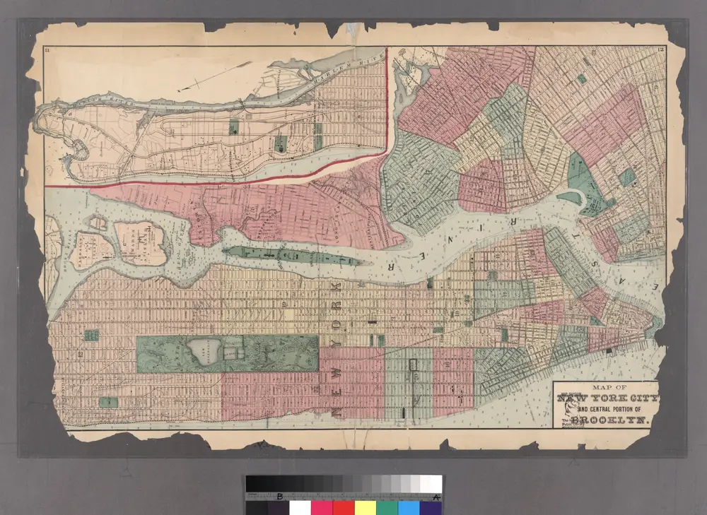
Plates 11 & 12: Map of New York City and central portion of Brooklyn.
1872
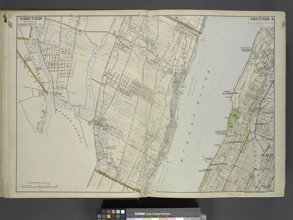
Portion of Bergen County, N.J.
1891
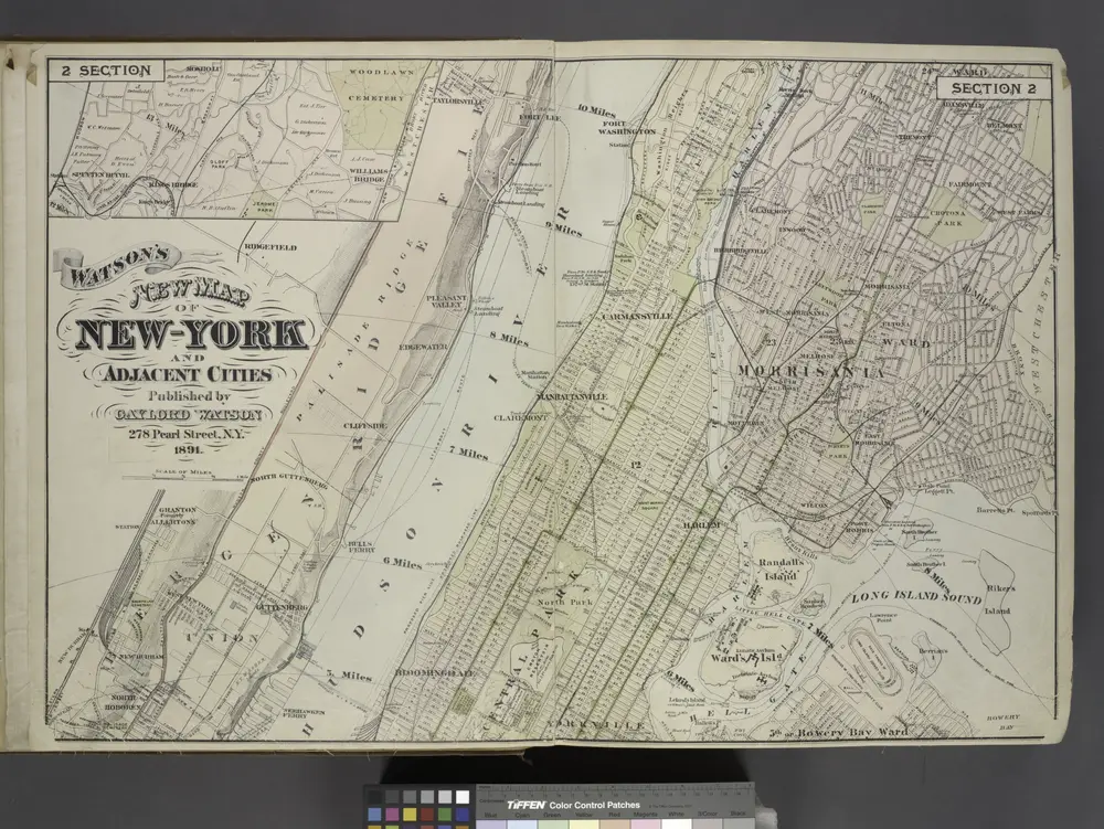
Map of New York and Adjacent Cities
1891
Map of New York City, south of 46th St. : showing new arrangement of docks, piers, and water frontage, also soundings and former high water line
1877
Dripps, M. (Matthew)
1:7k
Plan of New York
1899
1:2k
Colton's city & county map of New-York
1867
G.W. & C.B. Colton & Co
1:20k
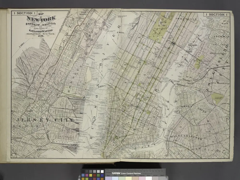
Map of New York, Brooklyn, Jersey City& c.
1891