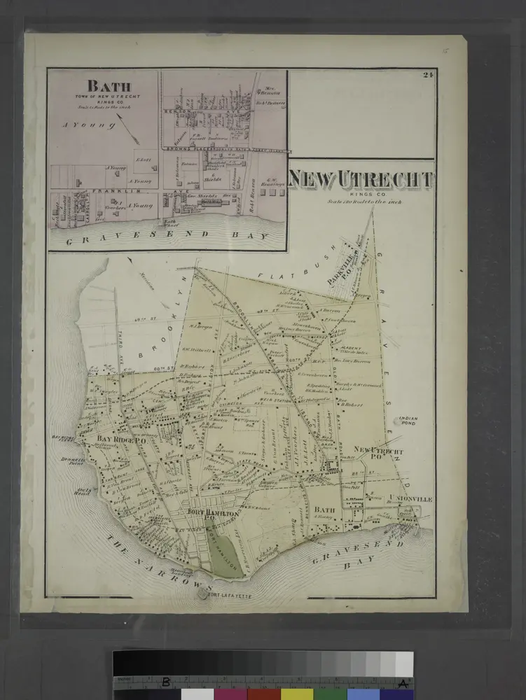
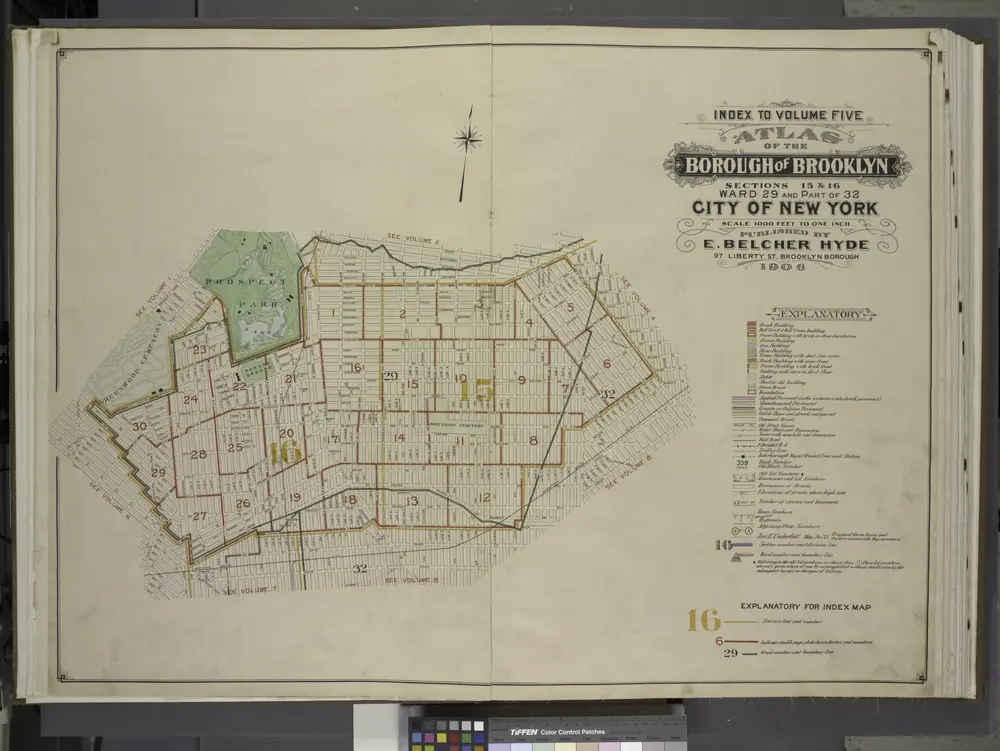
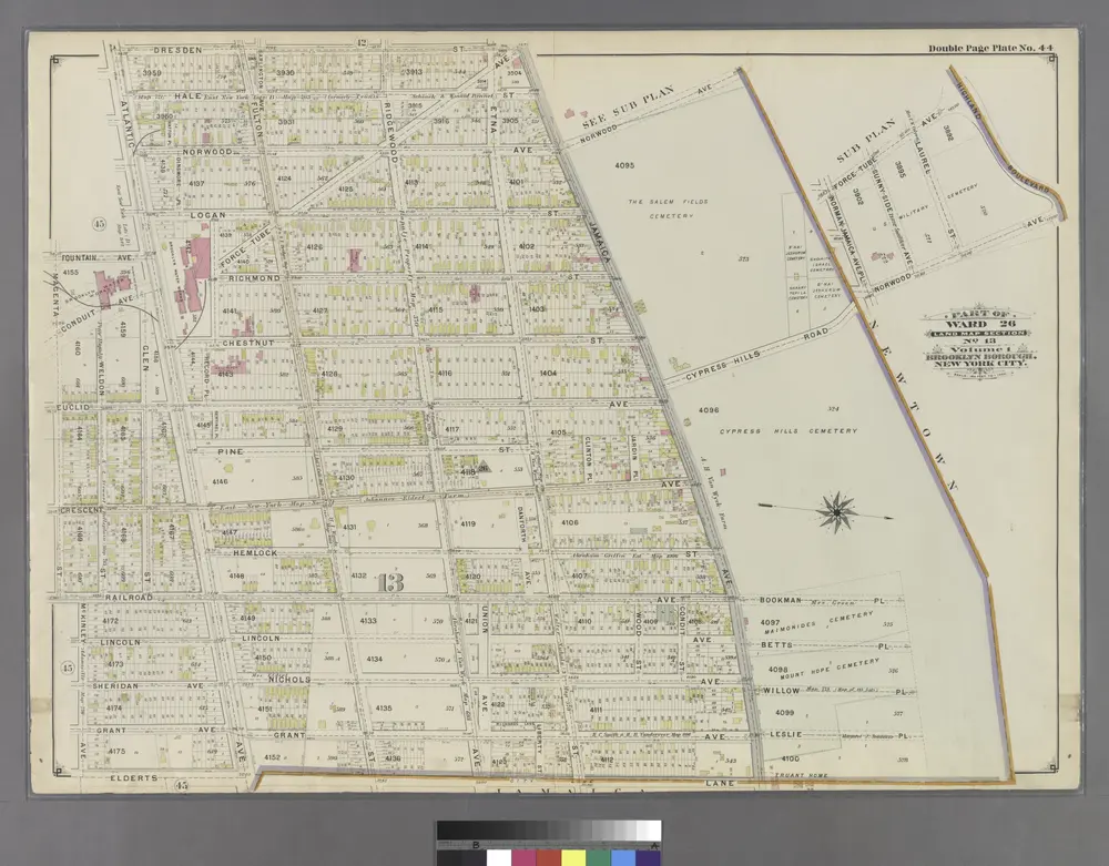
Maps of Kings County

Maps of Kings County

$title$

Part of Ward 26. Land Map Section, No. 13. Volume 1, Brooklyn Borough, New York City.

from Atlas of the Brooklyn borough of the City of New York : originally Kings Co.; complete in three volumes ... based upon official maps and plans ... / by and under the supervision of Hugo Ullitz, C.E.
$title$

Plate 40: [Bounded by Logan Street, Jamaica Avenue (The Salem Fields Cemetery, Cypress Hills Cemetery, Maimonides Cem. Mt. Hope Cem.), Elderts Lane, Glen Street, Magenta Street, Drew Avenue & Glendorm Avenue.]; Atlas of the borough of Brooklyn, city of New York: from actual surveys and official plans by George W. and Walter S. Bromley.

from Atlas of the borough of Brooklyn, city of New York : from actual surveys and official plans by George W. and Walter S. Bromley. G.W. Bromley & Co.,
$title$

Brooklyn, Vol. 4, Double Page Plate No. 15; Part of Ward 26; Sections 13; [Map bounded by Elderts Lane, Atlantic Ave.; Including Euclid Ave., Jamaica Ave.]

from Wards 26 and part of 29 & 32.
$title$

Map of 995 lots of the Rapelje propy. on the Brooklyn & Jamaica Rail Road & Turnpike / by Martin G. Johnson.

from Brooklyn
$title$

Brooklyn, Vol. 4, Double Page Plate No. 14; Part of Ward 26; Sections 13; [Map bounded by Euclid Ave., Atlantic Ave.; Including Hale Ave., Jamaica Ave.]

from Wards 26 and part of 29 & 32.
$title$

Plate 39: [Bounded by Barbey Street, (Highland Park) Sunnyside Avenue, Force Tube Avenue, Jamaica Turnpike, Logan Street and Sutter Street.]; Atlas of the borough of Brooklyn, city of New York: from actual surveys and official plans by George W. and Walter S. Bromley.

from Atlas of the borough of Brooklyn, city of New York : from actual surveys and official plans by George W. and Walter S. Bromley. G.W. Bromley & Co.,
$title$

Brooklyn, Vol. 4, Double Page Plate No. 16; Part of Ward 26; Sections 13; [Map bounded by Atlantic Ave., Forbell Ave., Broadway; Including Liberty Ave., Fountain Ave.]; Sub Plan; [Map bounded by Magenta St., Boundary Line of the Borough of Bro

from Wards 26 and part of 29 & 32.
$title$

Queens V. 4, Plate No. 1 [Map bounded by Forest Park, Lott, Jamaica Ave., Cypress Hills Cemetery]

From Atlas 139. Vol. 4, 1901.
$title$

Queens V. 4, Plate No. 15 [Map bounded by Jamaica Ave., Johnson Ave., Arlington Pl., Eldert Ln.]

From Atlas 139. Vol. 4, 1901.
$title$

Queens V. 4, Plate No. 16 [Map bounded by Arlington Pl., Johnson Ave., Atlantic Ave., Eldert Ln.]

From Atlas 139. Vol. 4, 1901.
$title$

Queens V. 4, Plate No. 2 [Map bounded by Forest Park, Vanderveer Ave., Jamaica Ave., Lott]

From Atlas 139. Vol. 4, 1901.
$title$

Plate 39: Part of Ward 26. Brooklyn, N.Y.

from Robinson's atlas of the city of Brooklyn, New York : embracing all territory within its corporate limits; from official records ... / by and under the supervision of E. Robinson and R.H. Pidgeon, civil engineers.
$title$

Part of the Borough of Queens, New town, Ward 2.

from Atlas of the city of New York, borough of Queens, Long Island City, Newtown, Flushing, Jamaica, Far Rockaway, from actual surveys and official plans / by George W. and Walter S. Bromley.
$title$

Portion of East New York. New Lots Tn. Kings Co. L.I. [Jamaica Plank Road to Liberty Avenue, Eldert Avenue to Eldert Lane.]

from Atlas of Long Island, New York. From recent and actual surveys and records.
$title$

Queens, Vol. 2, Double Page Plate No. 36; Part of Ward Two Newtown; [Map bounded by Cooper Ave., Fresh Pond Road, Cypress Hills Road; Including Fairmount St., Park Pl., Prospect St.]; Sub Plan No. 1; [Map bounded by Cypress Hill Road; Inclu

from First and second wards: Long Island City and Newtown.
$title$

Brooklyn, Vol. 1, 2nd Part, Double Page Plate No. 45; Part of Wards 26, Section 13; [Map bounded by McKinley Ave. (Magenta St.), Autumn Ave., McKinley Ave., boundary line of the boroughs of Brooklyn and Queens, Dumont Ave., Crystal Ave.; Including New...

From Volume 1, part 2
$title$

Part of Ward 26. Land Map Section, No. 13. Volume 1, Brooklyn Borough, New York City.

from Atlas of the Brooklyn borough of the City of New York : originally Kings Co.; complete in three volumes ... based upon official maps and plans ... / by and under the supervision of Hugo Ullitz, C.E.
$title$

Brooklyn, Vol. 4, Double Page Plate No. 13; Part of Ward 26; Sections 13; [Map bounded by Hale Ave., Atlantic Ave., Ashford St.; Including Jamaica Ave., Warwick St., Sunnyside Ave.]

from Wards 26 and part of 29 & 32.
$title$

Brooklyn, Vol. 4, Double Page Plate No. 12; Part of Ward 26; Sections 13; [Map bounded by Atlantic Ave., Fountain Ave.; Including Pitkin Ave., Ashford St.]

from Wards 26 and part of 29 & 32.
$title$

Queens V. 4, Plate No. 19 [Map bounded by Arlington Pl., Shaw Ave., Atlantic Ave., Centre Ave.]

From Atlas 139. Vol. 4, 1901.
$title$

Queens V. 4, Plate No. 17 [Map bounded by Shaw Ave., 4th St., Johnson Ave., Jamaica Ave.]

From Atlas 139. Vol. 4, 1901.
$title$

17B - N.Y. City (Aerial Set).

from Sectional aerial maps of the City of New York / [photographed and assembled under the direction of the chief engineer, July 1st, 1924].
$title$

Sec. 9 East New York.

1 : 6000 Fulton, Henry; J.B. Beers & Co.
$title$

Brooklyn, Double Page Section 9; East New York; [Map bounded by Eldert Lane, Liberty Ave., Bennett Ave., New Lots Road, Duryea Ave., Centre Ave., Stmarks Ave., Saratoga Ave., Cooper PL., Mc. Dougal St.; Including Hopkinson Ave., Rockaway Ave., Gran

from Farm line map of the city of Brooklyn, from official records and surveys; comp. and drawn by Henry Fulton.
$title$

Key Continued

From Atlas 137a. Vol. 3, 1914.
$title$

Insurance Maps of the Brooklyn city of New York Volume Eight. Published by the Sanborn map co. 117, Broadway, New York. 1887.

From Atlas 86. Vol. 8, 1887.
$title$

Woodhaven, Town of Jamaica.

from Atlas of Queens Co., Long Island, New York / compiled from official records, private plans & actual surveys by and under the direction of Chester Wolverton.
$title$

Woodhaven, Town of Jamaica, Queens Co. - South Woodhaven, Town of Jamaica, Queens Co.

from Atlas of Long Island, New York. From recent and actual surveys and records.
$title$

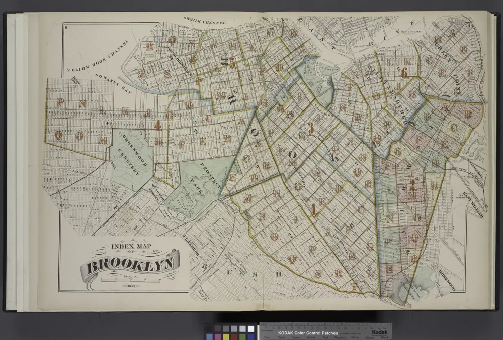
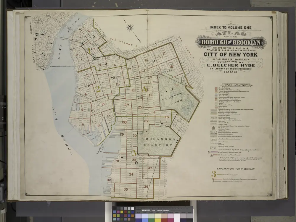
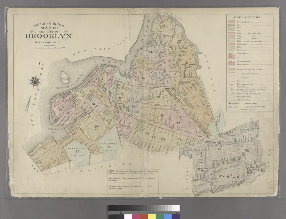
Plan of the city of Brooklyn, L.I. / by William Perris.

from Brooklyn
$title$

18A - N.Y. City (Aerial Set).

from Sectional aerial maps of the City of New York / [photographed and assembled under the direction of the chief engineer, July 1st, 1924].
© MapTiler © OpenStreetMap contributors
How does it work?
These instructions will show you how to find historical maps online.
Getting started
Type the place name in the search box to find the exact location. You can further adjust the search by zooming in and out.
Zoom
Zoom in and out with the buttons or use your mouse or touchpad natively.
Exact Area tool
Click here and draw a rectangle over the map to precisely define the search area.
Set filters
Narrow your search with advanced settings, such as Years (from/to), Fulltext, Publisher, etc.
Results
See the results of your search on the right side. You can scroll down to find more maps of this location.
?

Download OldMapsOnline Mobile