编目地图
Plate 40: [Bounded by Logan Street, Jamaica Avenue (The Salem Fields Cemetery, Cypress Hills Cemetery, Maimonides Cem. Mt. Hope Cem.), Elderts Lane, Glen Street, Magenta Street, Drew Avenue & Glendorm Avenue.]; Atlas of the borough of Brooklyn, city of New York: from actual surveys and official plans by George W. and Walter S. Bromley.


完整标题:Plate 40: [Bounded by Logan Street, Jamaica Avenue (The Salem Fields Cemetery, Cypress Hills Cemetery, Maimonides Cem. Mt. Hope Cem.), Elderts Lane, Glen Street, Magenta Street, Drew Avenue & Glendorm Avenue.]; Atlas of the borough of Brooklyn, city of New York: from actual surveys and official plans by George W. and Walter S. Bromley.
描述:1907 - 1908
物理尺寸:20 x 30 cm
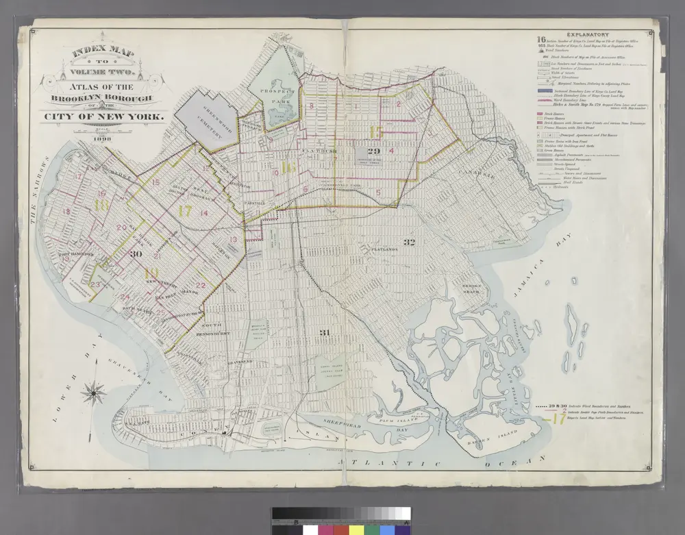
Index Map to Volume Two. Atlas of the Brooklyn Borough of the City of New York.
1899
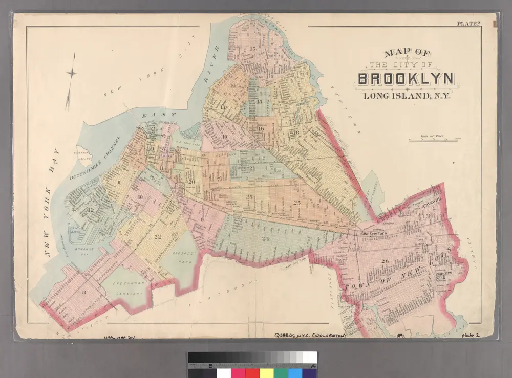
Plate 2: Map of the City of Brooklyn, Long Island, N.Y.
1891
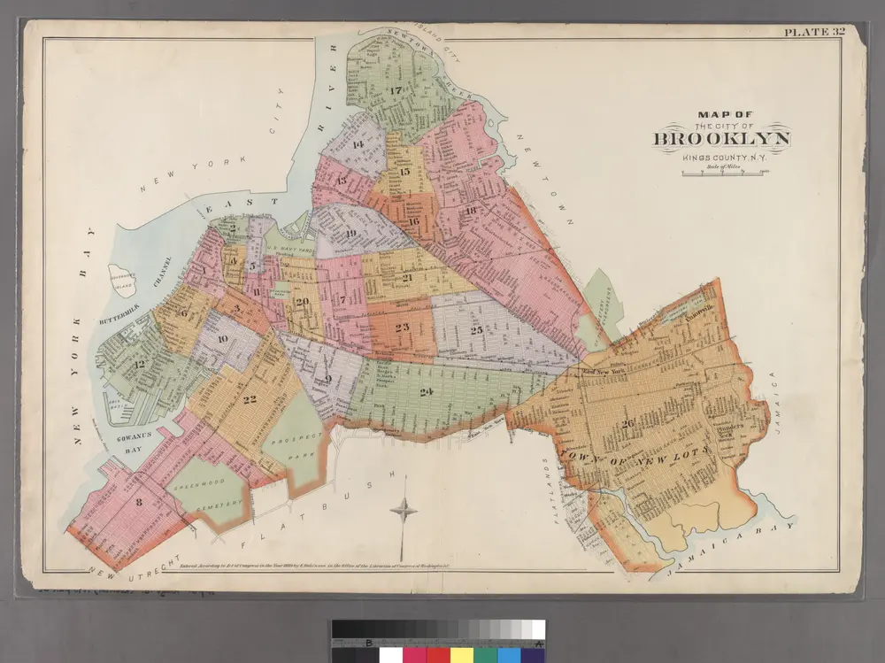
Plate 32: Map of the City of Brooklyn, Kings Co., N.Y.
1890
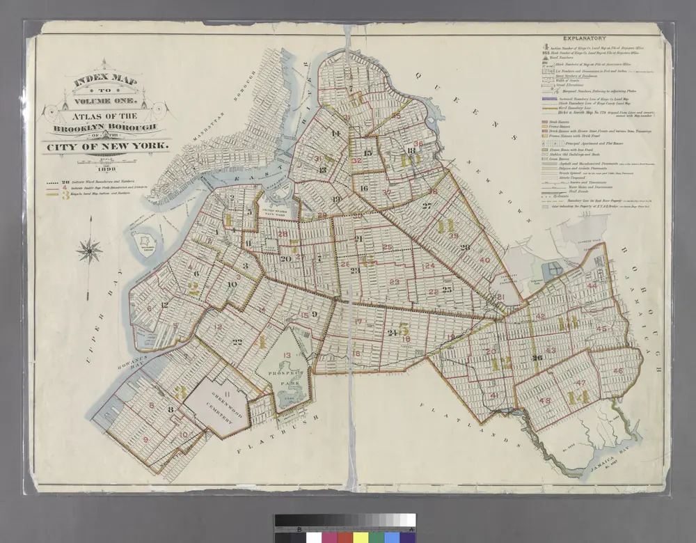
Index Map to Volume One. Atlas of the Brooklyn Borough of the City of New York.
1899
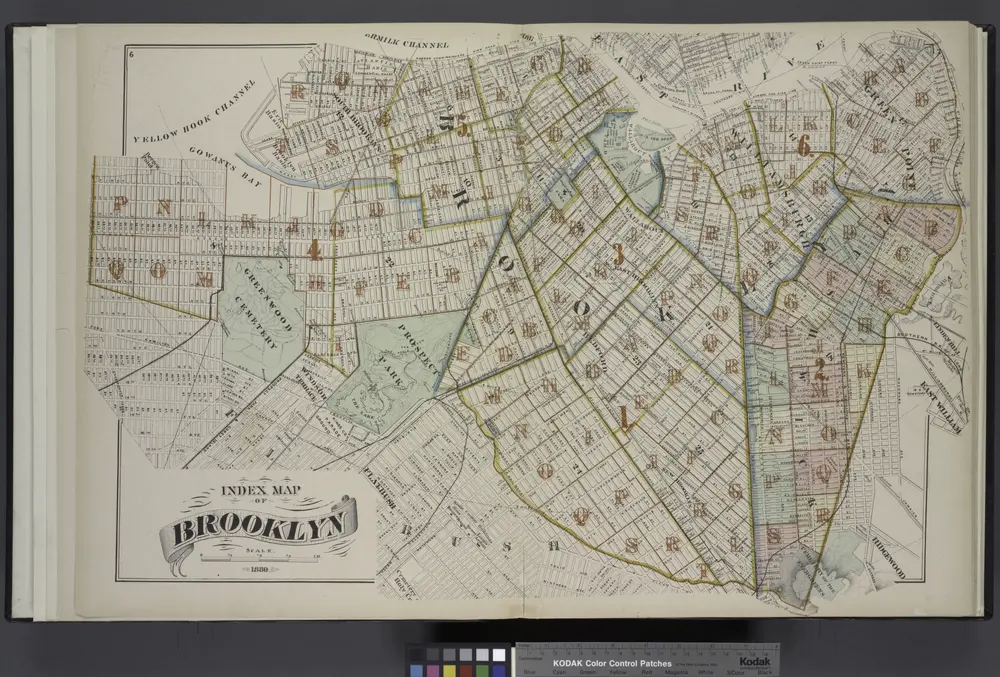
Index Map of Brooklyn
1880
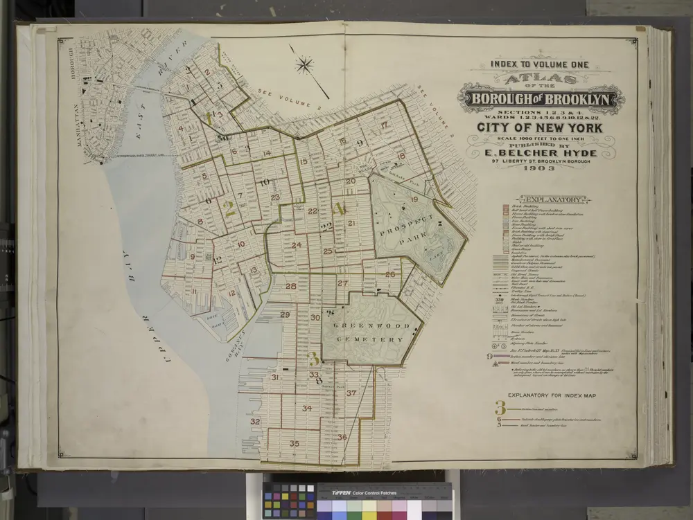
Index to Volume One, Atlas of the Borough of Brooklyn Sections 1, 2, 3 & 4. Wards 1, 2, 3, 4, 5, 6, 8, 9, 10, 12 & 22. City of New York. Published by E. Belcher Hyde, 97 Liberty St., Brooklyn. 1903.
1903
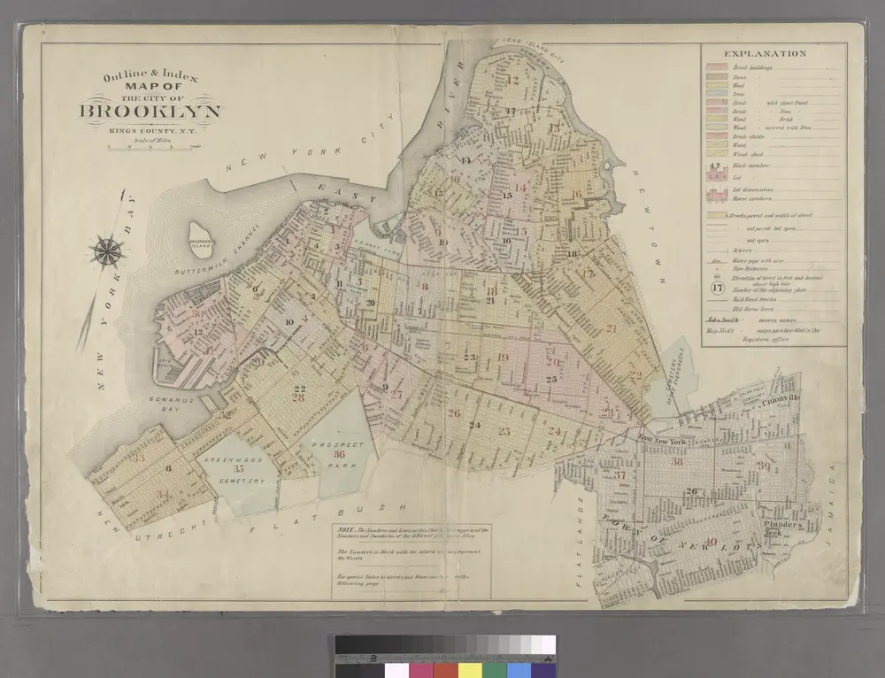
Outline & Index Map of the City of Brooklyn, Kings County, N.Y.
1886
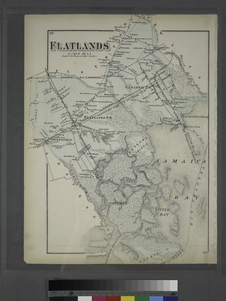
Flatlands. Kings Co. L.I.
1873
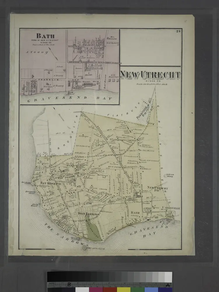
Bath, Town on New Utrecht, Kings Co.
1873
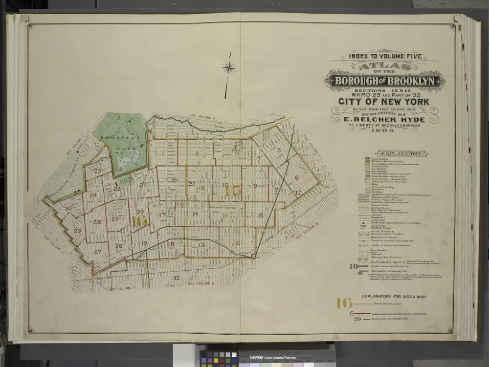
Index to Volume Five. Atlas of the Borough of Brooklyn. Sections 15 & 16. Ward 29 and part of 32. City of New York. E. Belcher Hyde, 97 Liberty St., Brooklyn Borough. 1906.
1906