Mappa catalogata
Croton Landing - Sparta.

Titolo completo:Croton Landing - Sparta.
Anno di illustrazione:1872
Dimensione fisica:20 x 30 cm
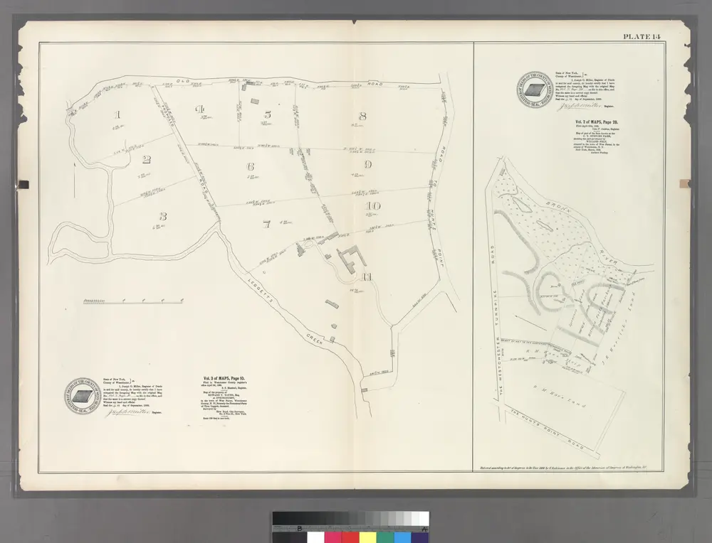
Plate 14: Vol. 3 of Maps, Page 10. [Bounded by Old Road, Road to Hunt's Point and (Homestead Farms of Thos. Leggett) Leggetts Creek.] - Vol 2. of Maps, Page 28. [Bounded by Bronx River, The Hunt's Point Road and The Westchester Turnpike Road.]
1888
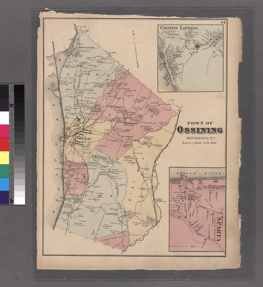
Croton Landing - Sparta.
1872

North part of Town of Mount Pleasant - Pleasantville.
1872
White Plains
1967
1:24k
White Plains
1967
1:24k
White Plains
1967
1:24k
White Plains
1957
1:24k
White Plains
1957
1:24k
White Plains
1947
1:24k
White Plains
1938
1:32k
White Plains
1938
1:32k
White Plains
1932
1:24k