Project
Community
News
My maps
Mapa catalogado
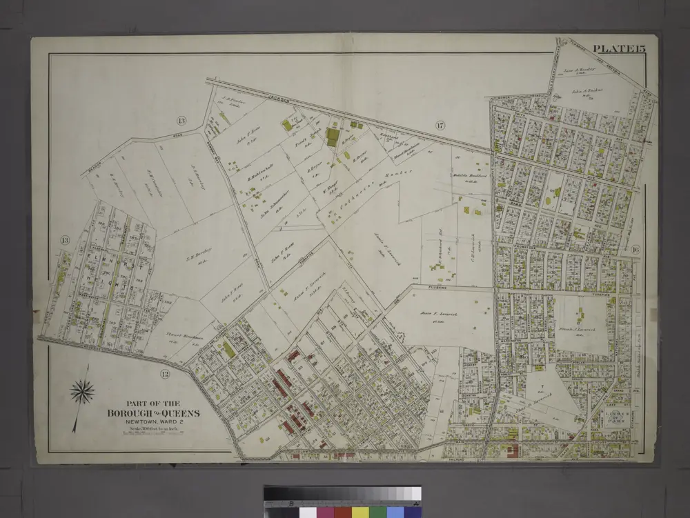
Part of the Borough of Queens, New town, Ward 2.
View on external website
Título completo:
Part of the Borough of Queens, New town, Ward 2.
Año de ilustración:
1909
Tamaño físico:
20 x 30 cm
Catalog
maps.nypl.org
Brooklyn
1900
1:63k
Brooklyn
1900
1:63k
Brooklyn
1900
1:63k
Brooklyn
1900
1:63k
Brooklyn
1900
1:63k
Brooklyn
1900
1:63k
Brooklyn
1900
1:63k
Brooklyn
1900
1:63k
Brooklyn
1900
1:63k
Brooklyn
1900
1:63k
Brooklyn
1898
1:63k
Brooklyn
1897
1:63k
Brooklyn
1897
1:63k
Brooklyn
1897
1:63k
Historia