Mappa catalogata
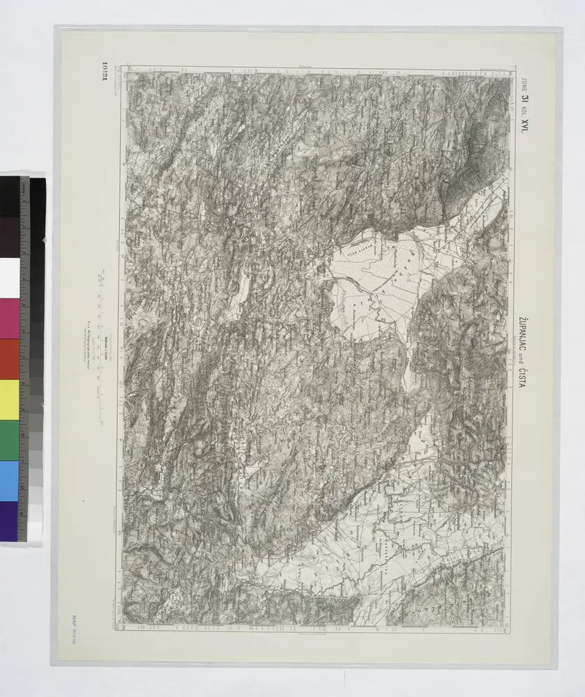
Zupanjac und Cista.

Titolo completo:Zupanjac und Cista.
Anno di illustrazione:1914
Dimensione fisica:20 x 30 cm
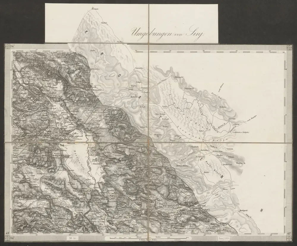
Umgebungen von Sinj
1869
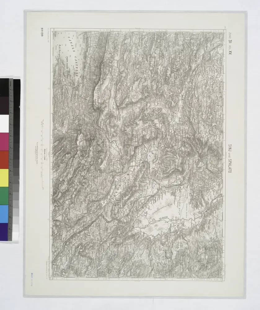
Sinj und Spalato.
1914
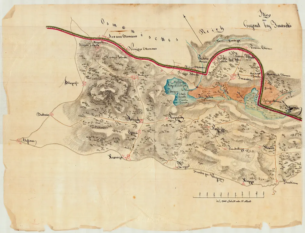
Skize der Gegend bey Imoschi
1834
Jabornigg von Altenfels, Rudolf
1:92k
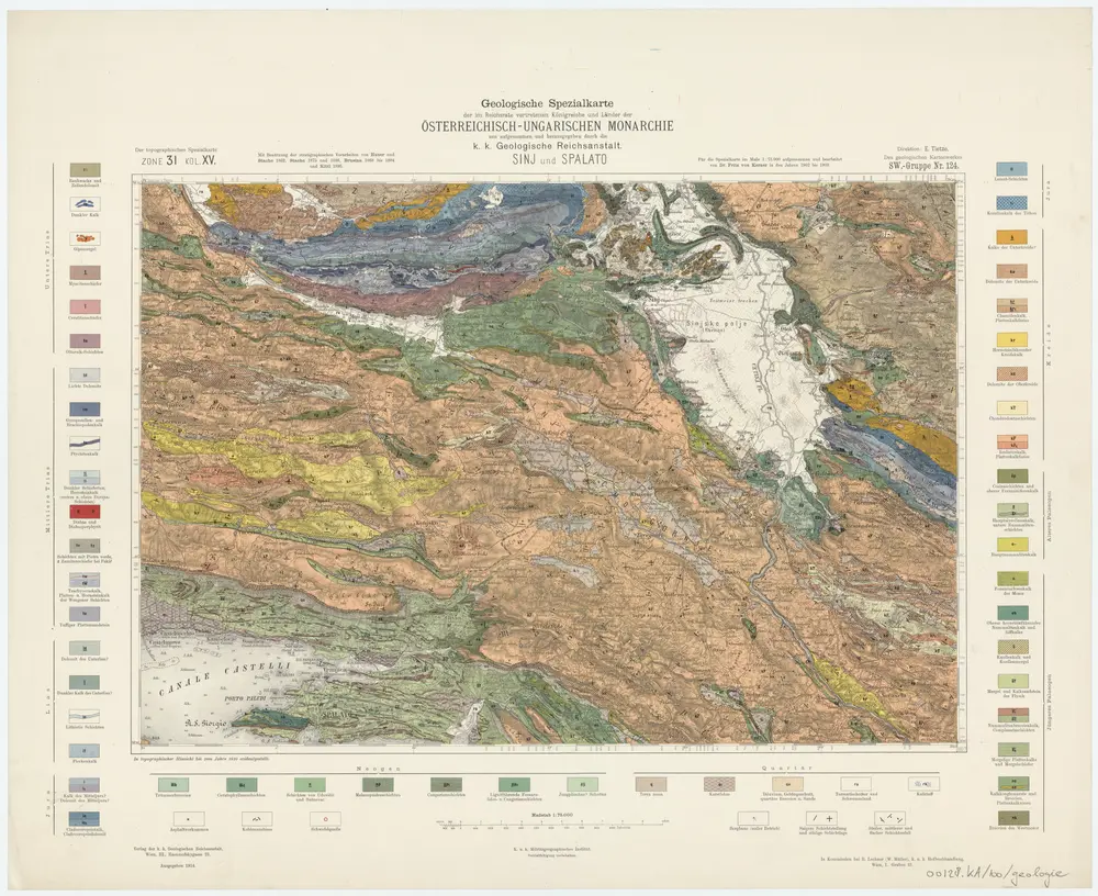
Zone 31, Kol. XV, Sinj und Spalato, uit: Geologische Karte der im Reichsrathe vertretenen Königreiche und Länder der Österreich-Ungarischen Monarchie : auf Grundlage der Specialkarte i.M. 1:75.000 des k.u.k. Militär-geographischen Institutes / neu bearb. und als Kartenwerk von 341 Blattnummern in zwanglosen Lfg. hrsg. durch die k.k. Geologische Reichsanstalt in Wien
1898
Kaiserlich-Königliche Geologische Reichsanstalt, Wenen
1:75k
Zupanjac und Cista.
1914
Adriatisches Meer, Küstenkarte
1902
Oesterreicher, Tobias von
1:180k
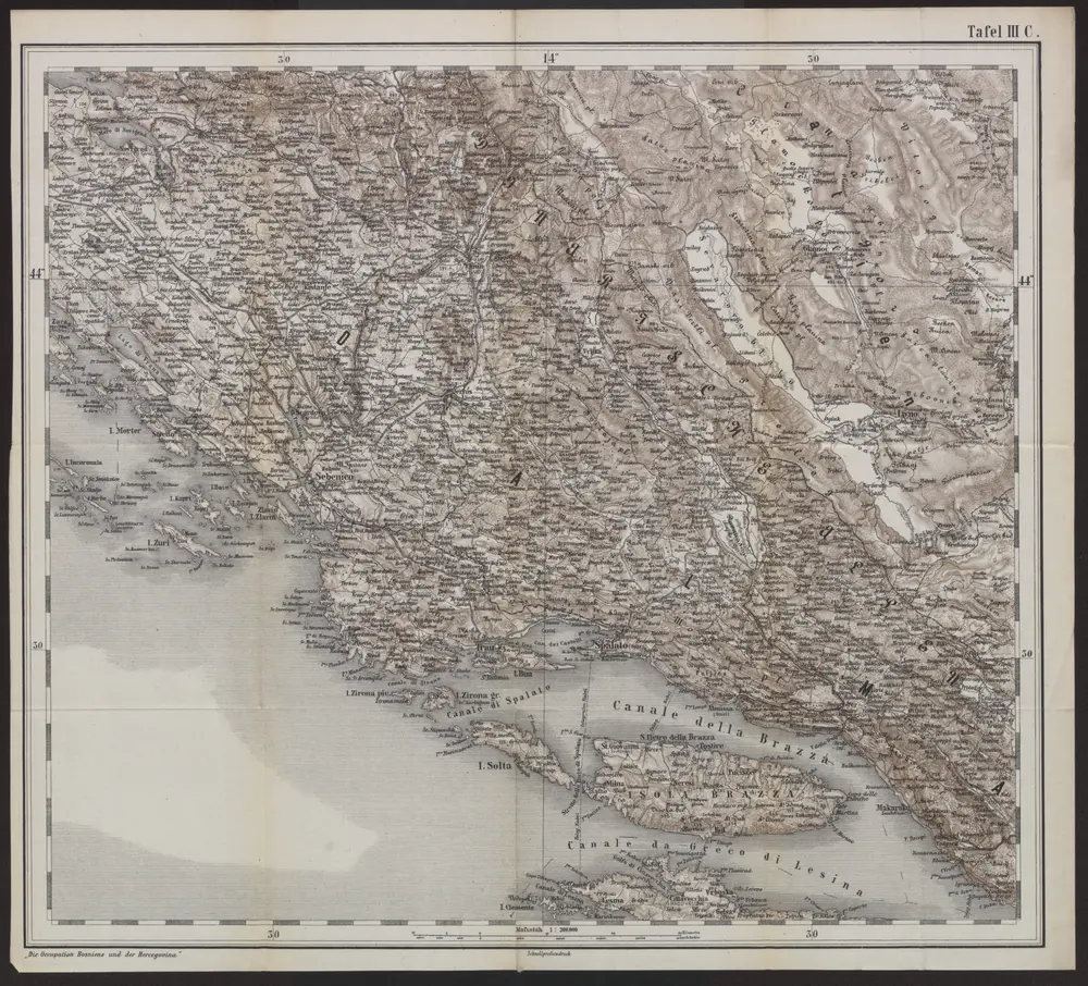
[Generalkarte von Bosnien und der Hercegovina]
1878
1:300k
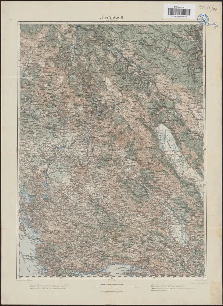
34°44° Spalato / K.u.k. Militärgeographisches Institut
1913
K.u.k. Militärgeographisches Institut
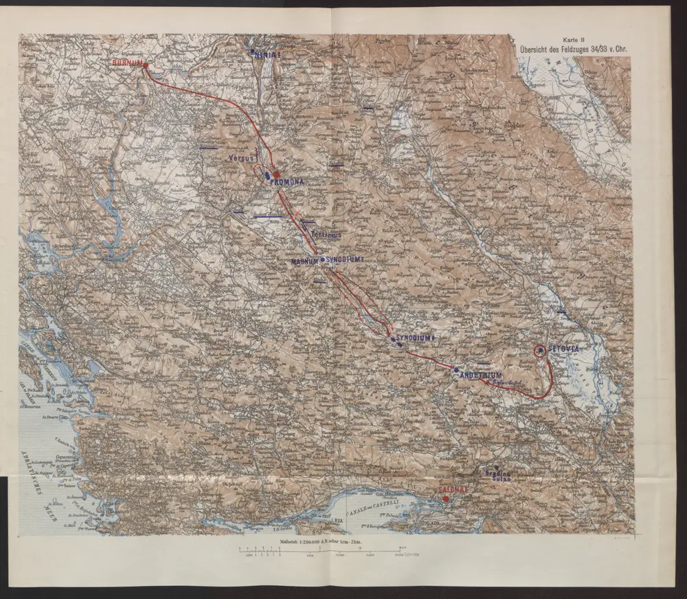
Übersicht des Feldzuges 34/33 v. Chr.
35
1:200k
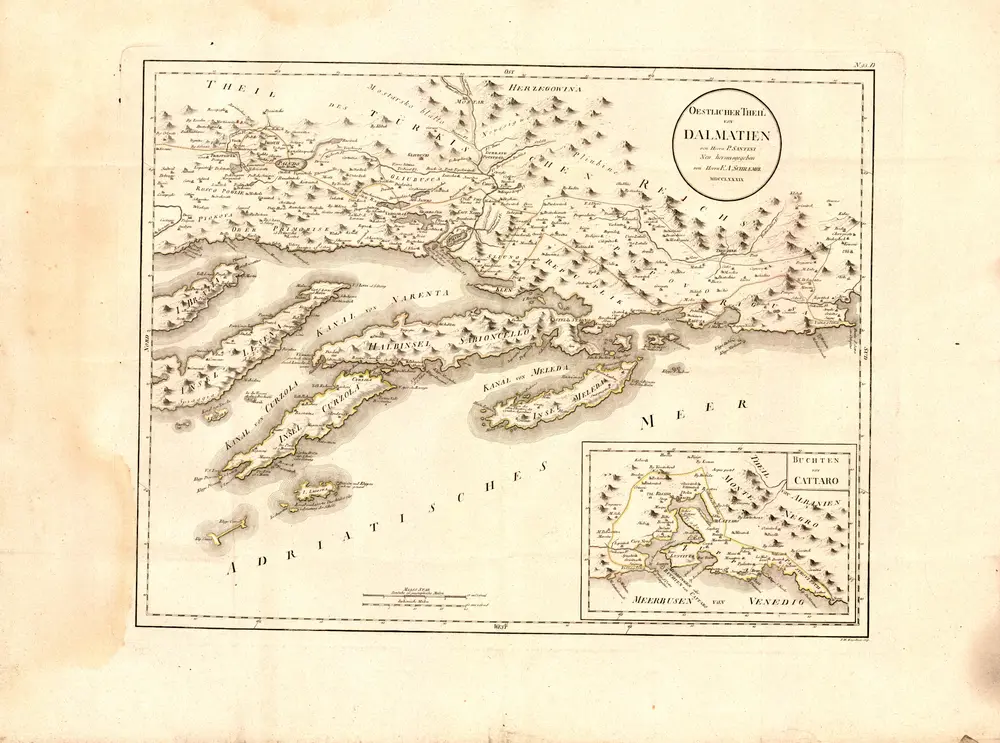
Oestlicher Theil von Dalmatien
1789
Santini, P.