Gecatalogiseerde kaart
Altenmarkt und Ogulin.

Volledige titel:Altenmarkt und Ogulin.
Jaar illustratie:1914
Fysieke grootte:20 x 30 cm
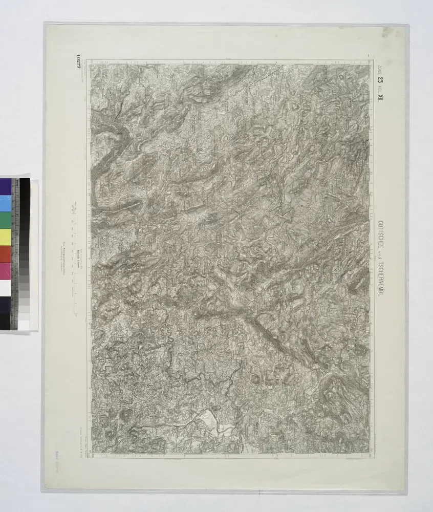
Gottschee und Tschernembl.
1914
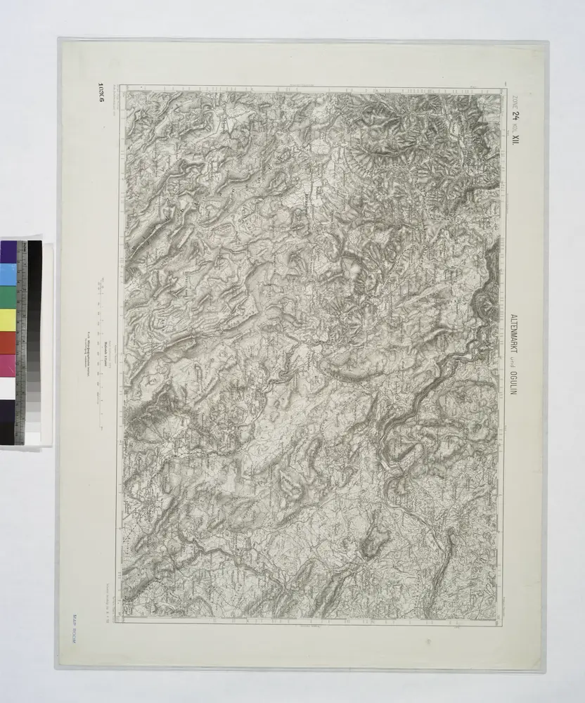
Altenmarkt und Ogulin.
1914
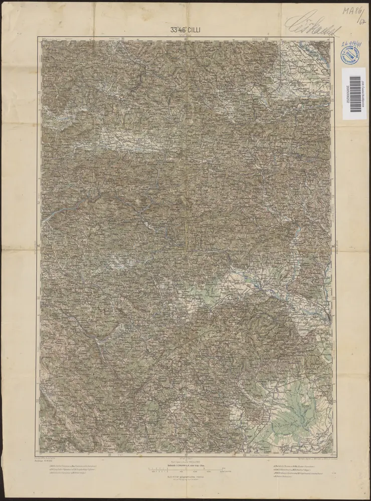
33°46° Cilli / K.u.k. militär-geographisches Institut
1902
K.u.k. militär-geographisches Institut
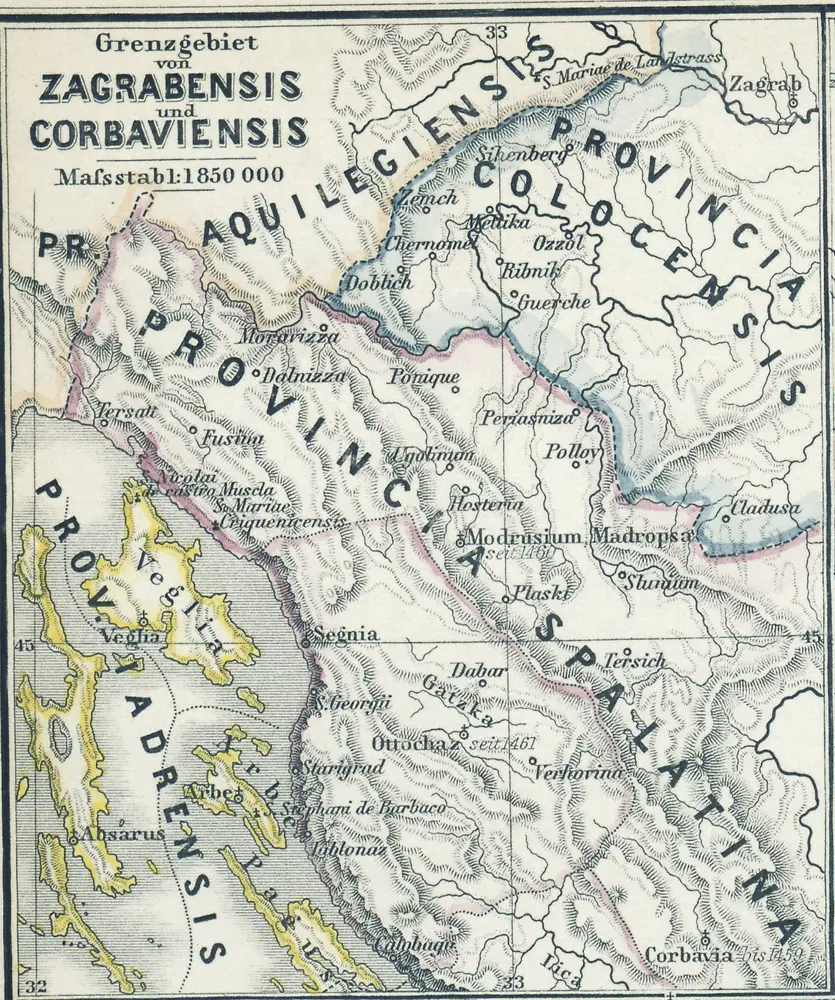
Grenzgebiet von Zagrabiensis und Corbaviensis
1880
1:2m
Goritiae, Karstii, Chaczeolae, Carniolae, Histriae, et Windorvm marchae descrip
1579
Lazius; Ortelius
Goritiae, Karstii, Chaczeolae, Carniolae, Histriae, et Windorvm marchae descrip
1573
Lazius; Ortelius
Krain-Küstenland
1901
Bibliographisches Institut
1:850k
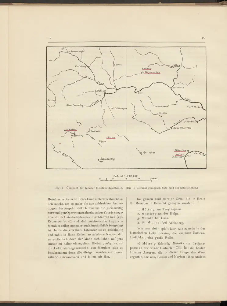
Übersicht der Krainer Metulum-Hypothesen
35
1:750k
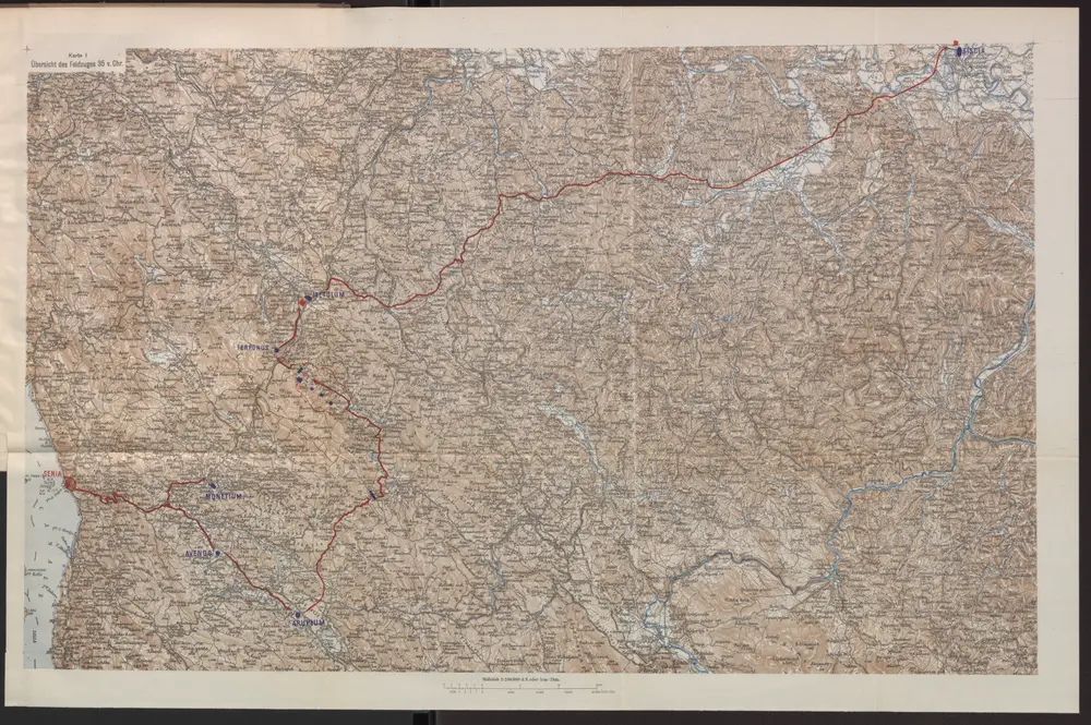
Übersicht des Feldzuges 35 v. Chr.
35
1:200k
n/a
1796