Mappa catalogata
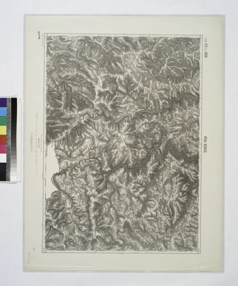
Riul Sebes.

Titolo completo:Riul Sebes.
Anno di illustrazione:1914
Dimensione fisica:20 x 30 cm
Lambert-Cholesky sheet 2857 (Măgureni)
1940
Institutul Geografic Militar
1:20k
Lambert-Cholesky sheet 2858 (Dealul Rechita)
1953
Direcția Topografică Militară
1:20k
Lambert-Cholesky sheet 2859 (Cudgir)
1953
Direcția Topografică Militară
1:20k
Lambert-Cholesky sheet 2856 (Rovinel)
1940
Institutul Geografic Militar
1:20k
Riul Sebes.
1914
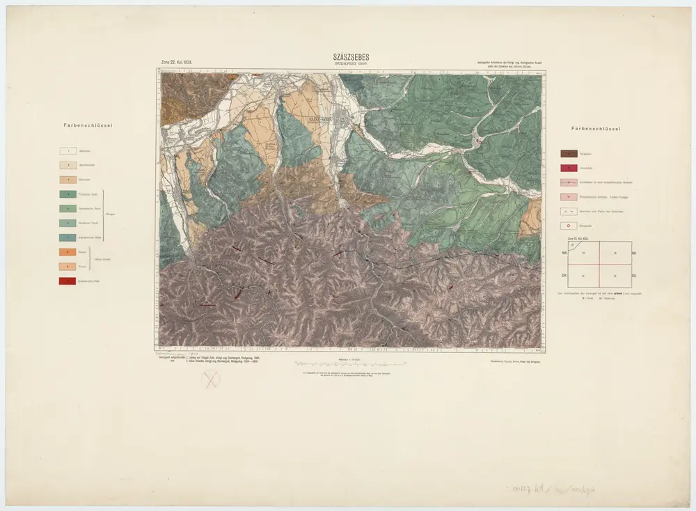
Zone 22, Kol. XXIX, Szászsebes, uit: [Geologische Specialkarte der im Reichsrathe vertretenen Königreiche und Länder der österreichisch-ungarischen Monarchie] / geologische Aufnahmen der königl. ung. Geologischen Anstalt
1889
Königliche Ungarische Geologische Reichsanstalt; Königliche Ungarische Geologische Anstalt
1:75k
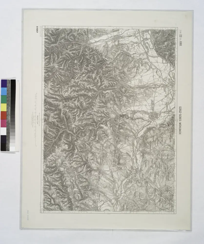
Szasz-Sebes [Muhlbach].
1914
Lambert-Cholesky sheet 2959 (Căpâlna)
1924
Serviciul Geografic al Armatei
1:20k
Lambert-Cholesky sheet 2958 (Sugag)
1924
Serviciul Geografic al Armatei
1:20k
Lambert-Cholesky sheet 2957 (Făgădău)
1940
Institutul Geografic Militar
1:20k