Carte cataloguée
Sesana und St. Peter.

Titre complet:Sesana und St. Peter.
Année de l'image:1914
Taille physique:20 x 30 cm
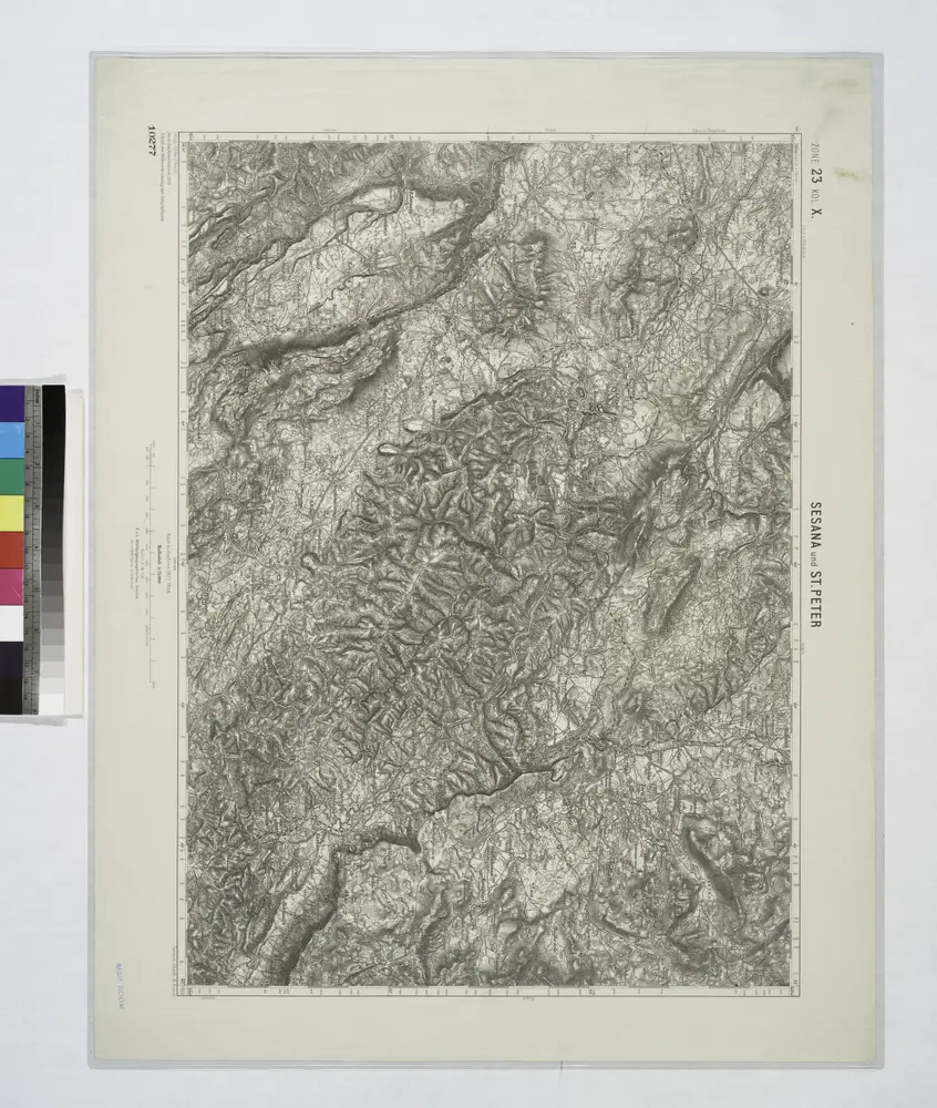
Sesana und St. Peter.
1914
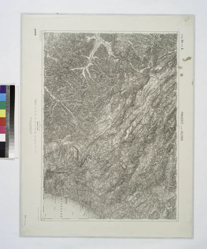
Pinguent und Volosca.
1914
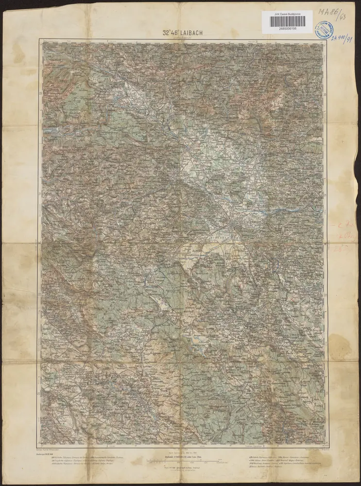
32°46° Laibach / K.u.k. militär-geographisches Institut
1900
K.u.k. militär-geographisches Institut
Adriatisches Meer, Küstenkarte
1907
Oesterreicher, Tobias von
1:180k
Adriatisches Meer, Küsten-Karte
1903
Oesterreicher, Tobias von
1:180k
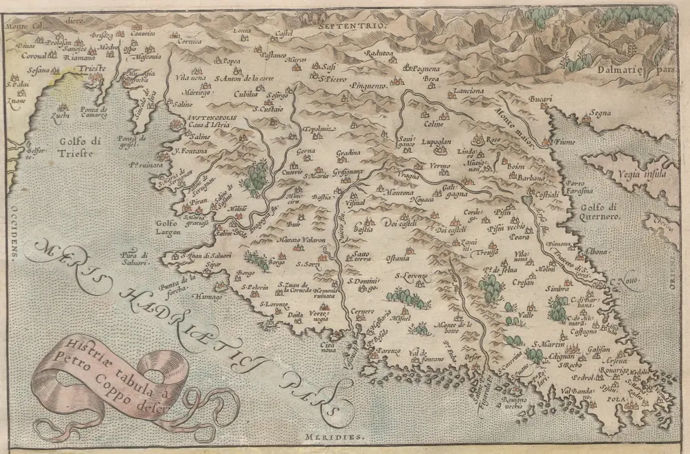
Histriae tabula
1588
Coppo. Pietro
n/a
1796
Lo Stato Veneto da terra diviso nelle sue provincie, seconda parte che comprede porzioni del Dogado del Trevisano del Friuli e dell' Istria
1791
1:475k
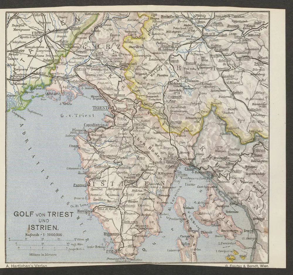
Golf von Triest und Istrien
1913
1:1m
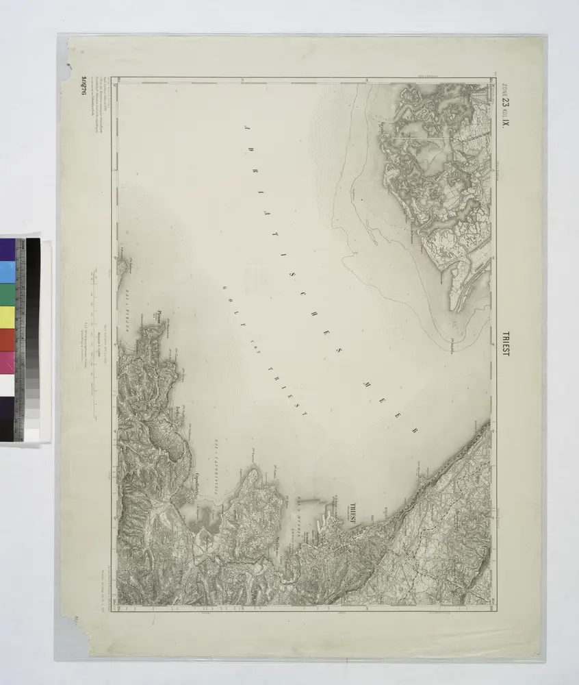
Triest.
1914