Cataloged map
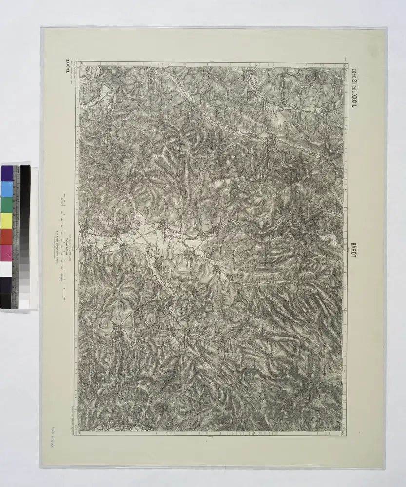
Barot.

Full title:Barot.
Depicted:1914
Physical Size:20 x 30 cm
Lambert-Cholesky sheet 3961 (Ormeniș)
1953
Direcția Topografică Militară
1:20k
Lambert-Cholesky sheet 3962 (Varghiș)
1953
Direcția Topografică Militară
1:20k
Lambert-Cholesky sheet 4061 (Aita Seacă)
1953
Direcția Topografică Militară
1:20k
Barot.
1914
Lambert-Cholesky sheet 4062 (Băţanii Mari)
1953
Direcția Topografică Militară
1:20k
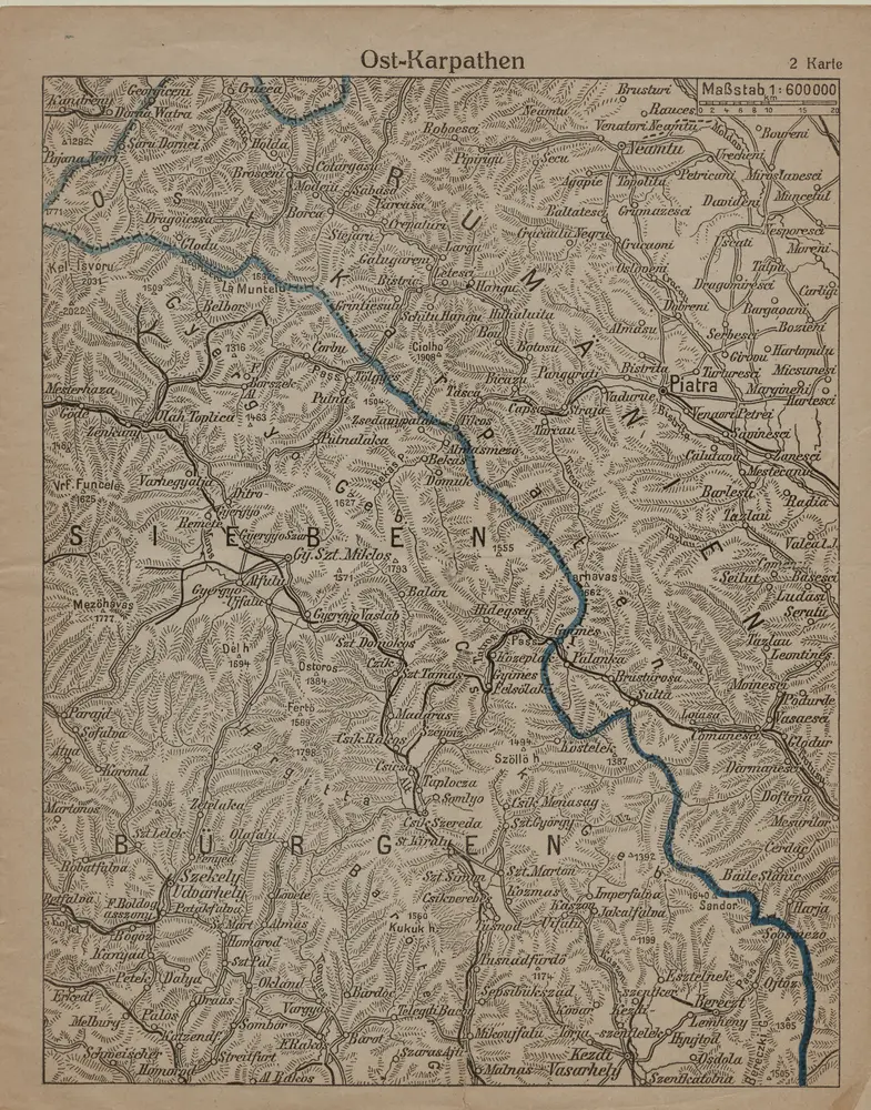
Ost-Karpathen
1916
1:600k
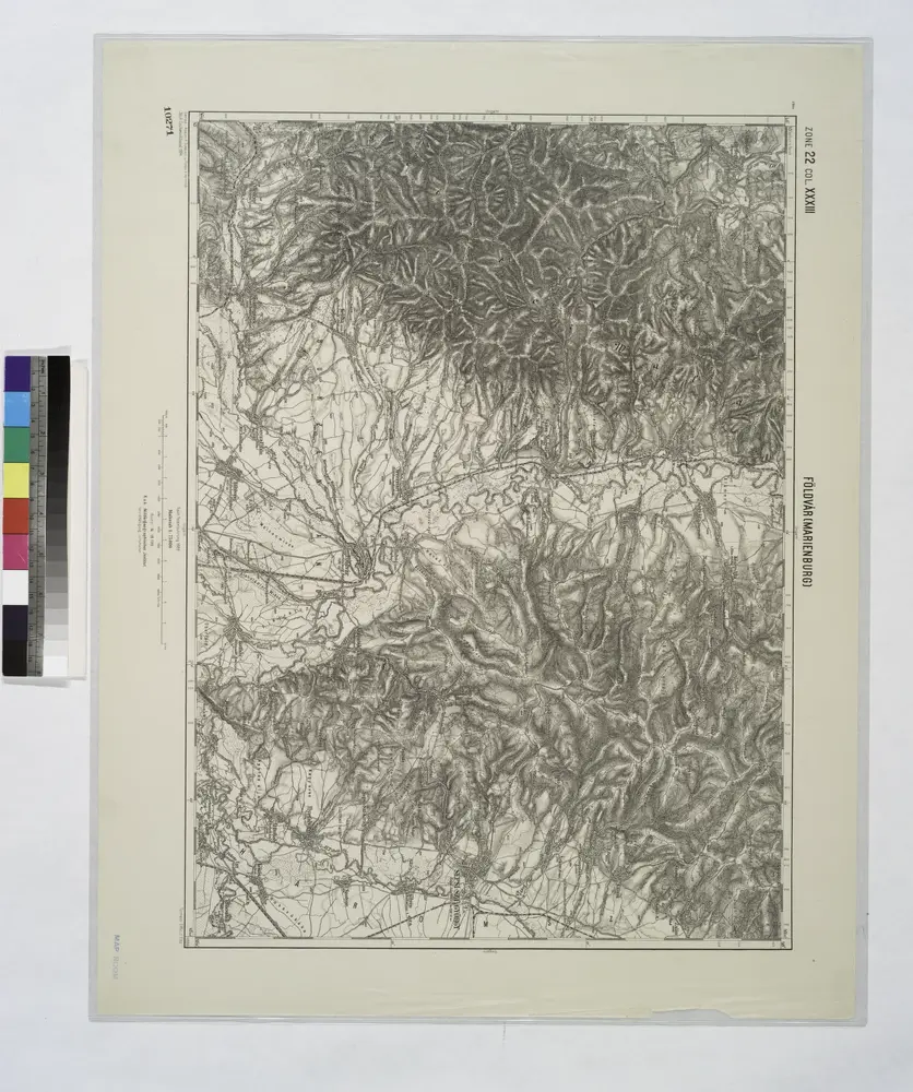
Foldvar [Marienburg].; Spezialkarte der osterreichisch-ungarischen Monarchie.
1911
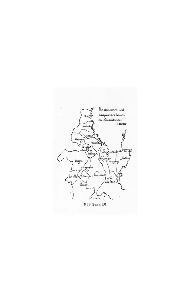
Die deutschen und madjarischen Fluren des Burzenlandes
1934
1:800k
Carte de la Roumanie et pays limitrophes. Klausenbourg
1912
France. Service géographique de l'armée
1:500k
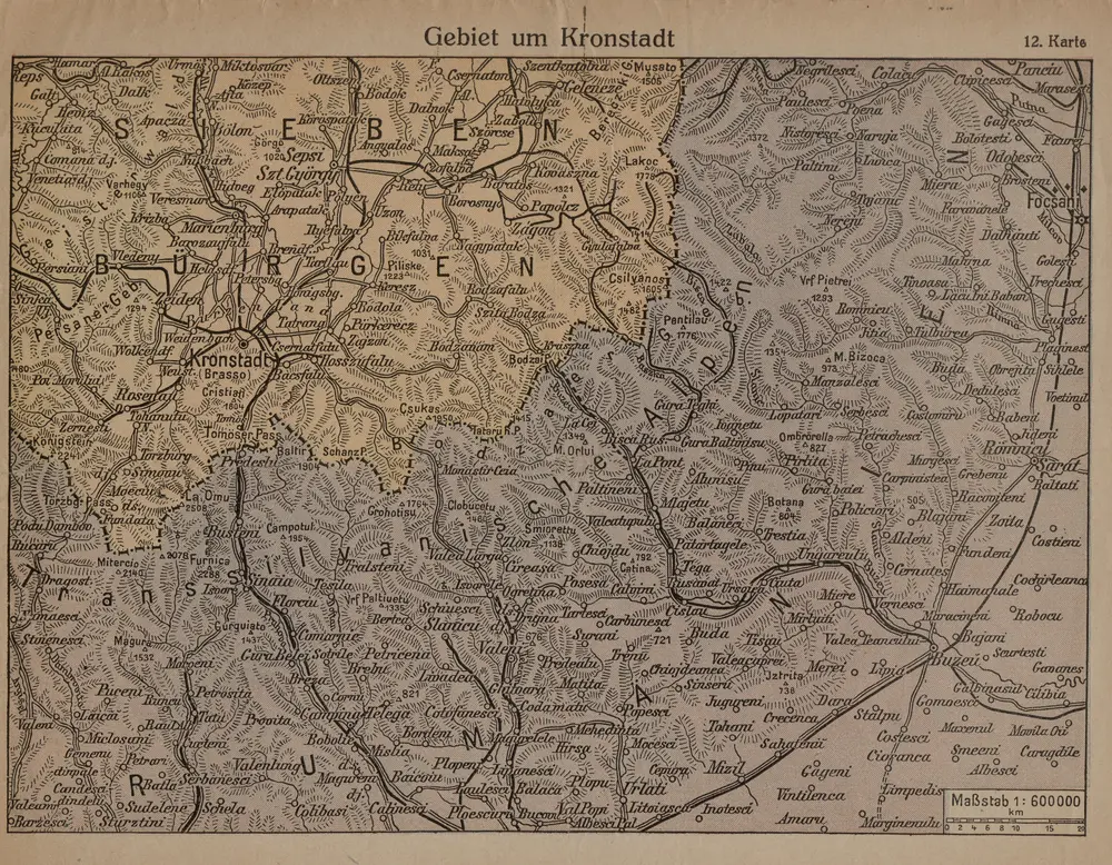
Gebiet um Kronstadt
1916
1:600k