Project
Community
News
My maps
Mapa catalogado
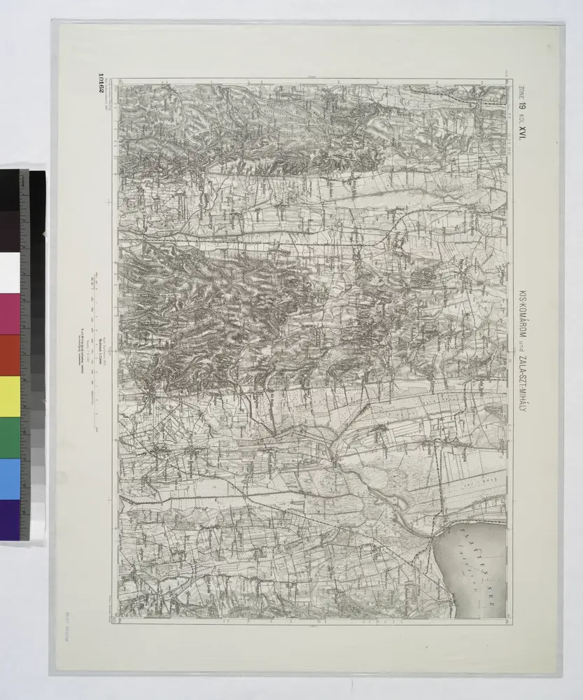
Kis-Komarom und Zala-Szt.-Mihaly.
View on external website
Título completo:
Kis-Komarom und Zala-Szt.-Mihaly.
Año de ilustración:
1914
Tamaño físico:
20 x 30 cm
Catalog
maps.nypl.org
Kis-Komarom und Zala-Szt.-Mihaly.
1914
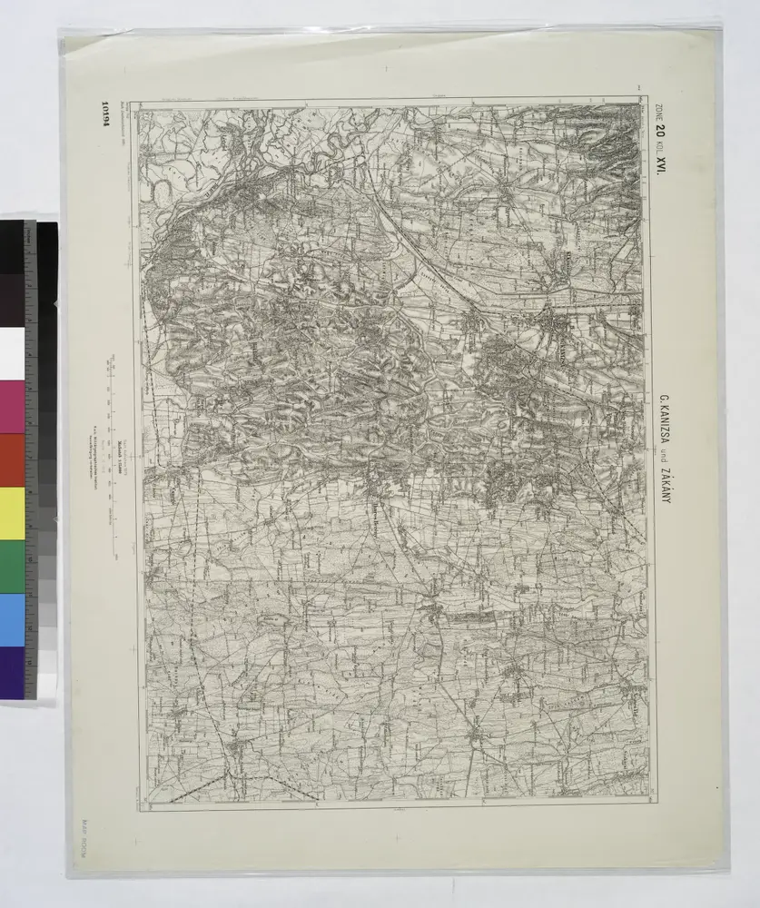
G. Kanizsa und Zakany.
1914
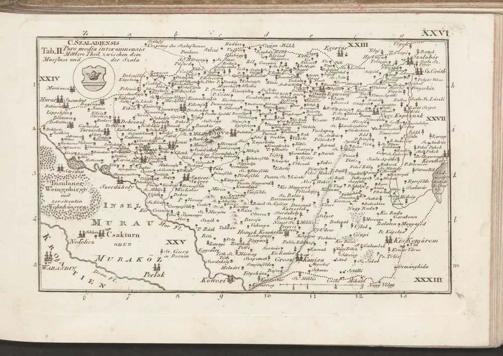
C. Szaladiensis. Tab. II
1804
n/a
1804
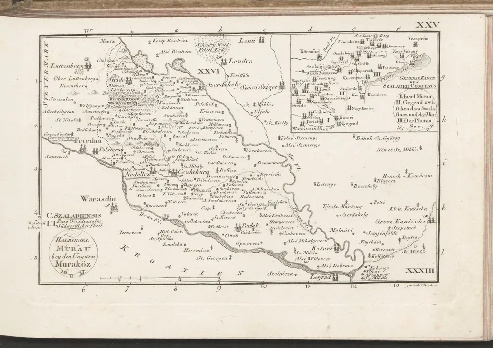
C. Szaladiensis. Tab. I
1804
n/a
1804
Comitat Somogy
1870
1:300k
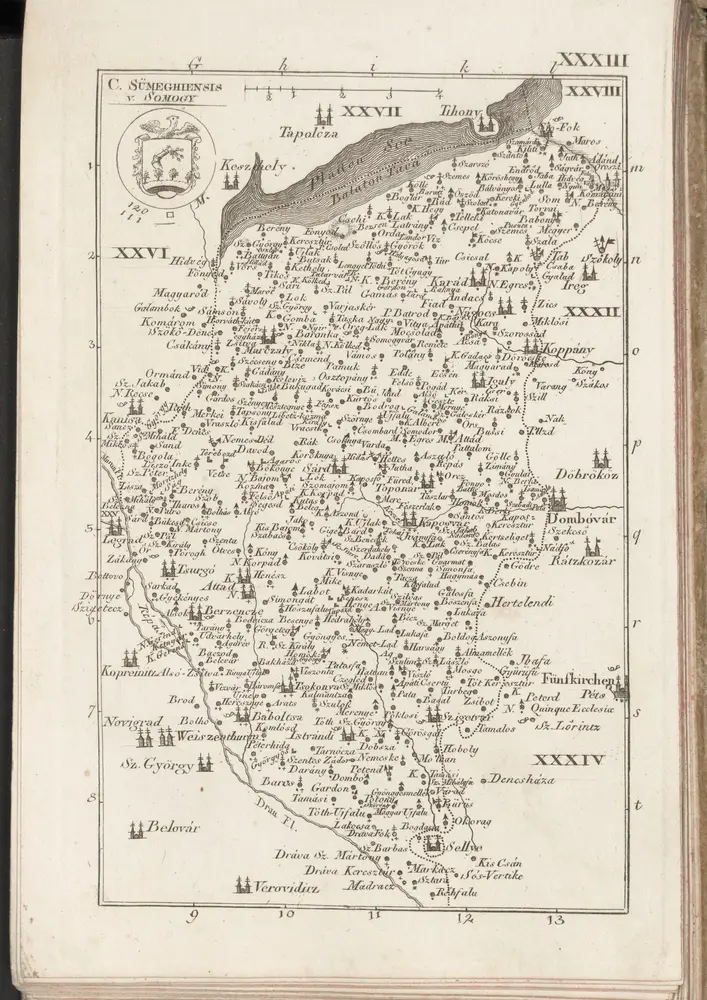
C. Sümeghiensis
1804
n/a
1804
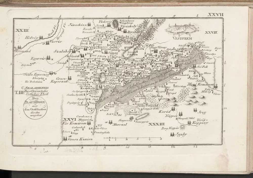
C. Szaladiensis. Tab. III
1804
Historia