Mapa catalogado
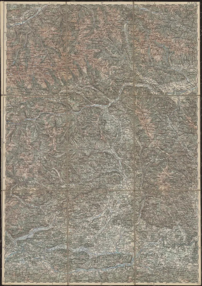
Bleiberg und Tarvis.

Título completo:Bleiberg und Tarvis.
Año de ilustración:1914
Tamaño físico:20 x 30 cm
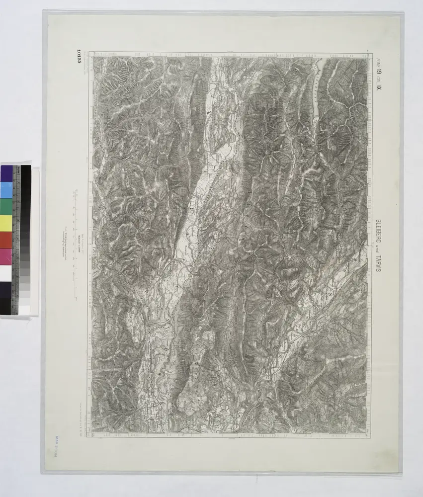
Bleiberg und Tarvis.
1914
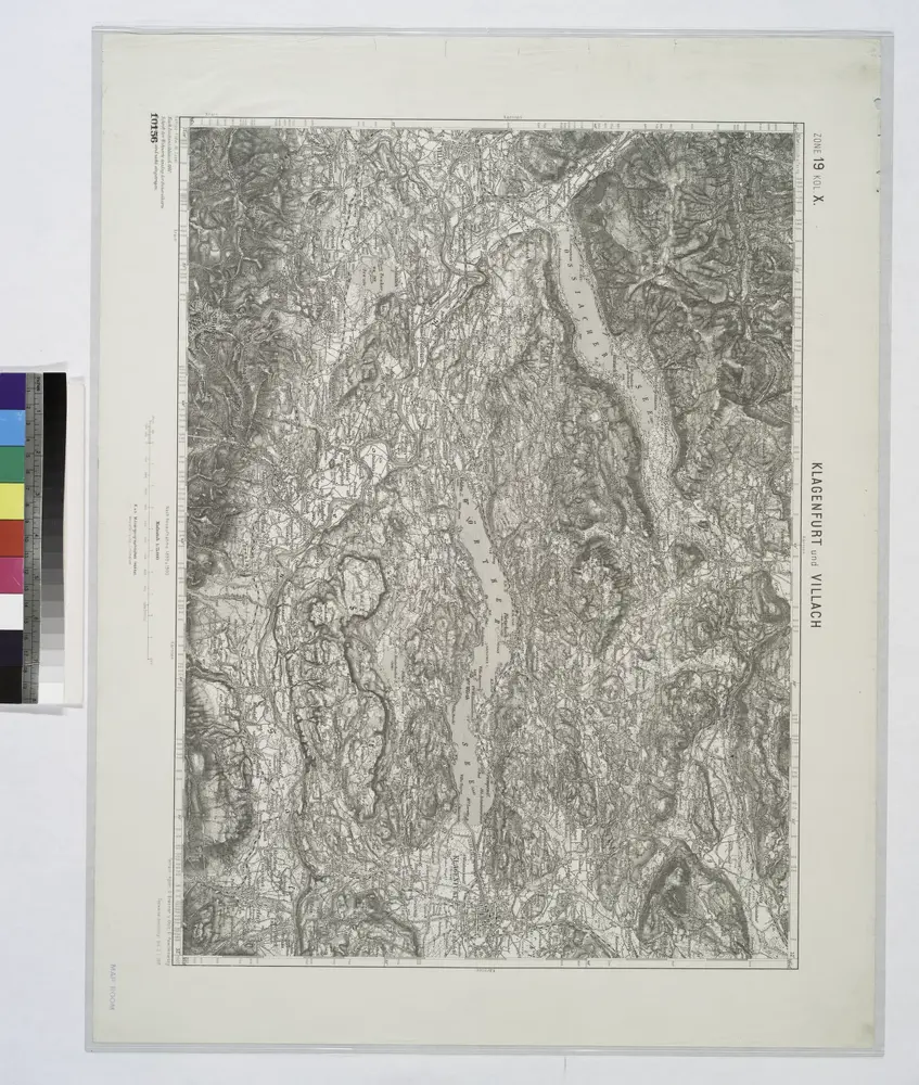
Klagenfurt und Villach.
1914
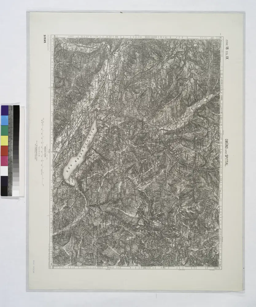
Gmund und Spittal.
1914
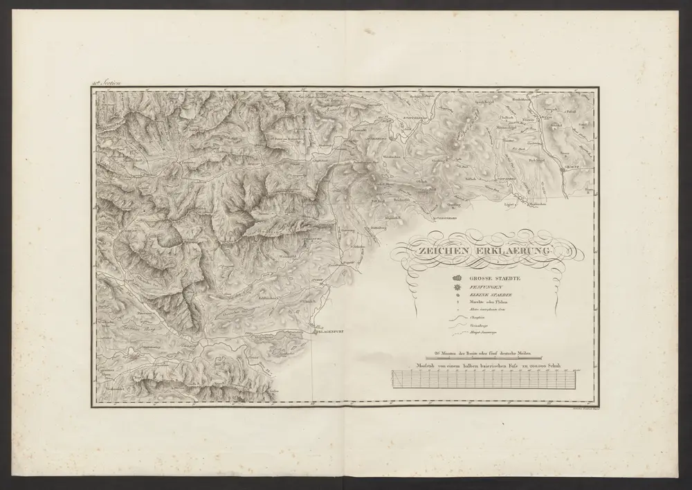
Militair Karte von Süd-Deutschland in 20 Sectionen
1818
Coulon, Alois von
1:400k
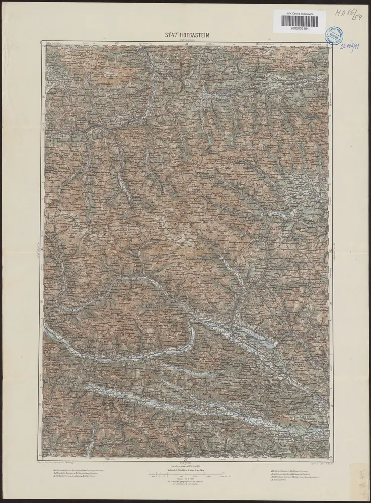
31°47° Hofgastein / K.u.k. militär-geographisches Institut
1907
K.u.k. militär-geographisches Institut
31°47° Hofgastein
1895
K.u.k. Militärgeographisches Institut

Gurk-Thal.
1914
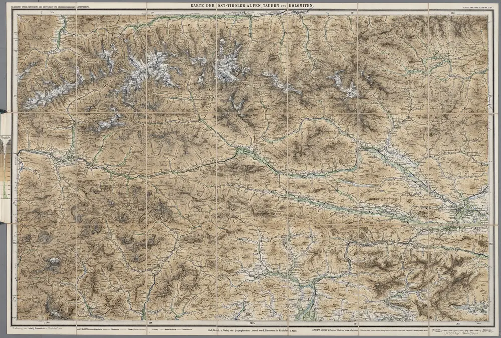
[Kaart], uit: Karte der Ost-Tiroler Alpen, Tauern und Dolomiten / von Ludwig Ravenstein
1900
Ravenstein, Ludwig
1:250k
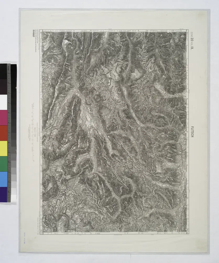
Flitsch.
1914
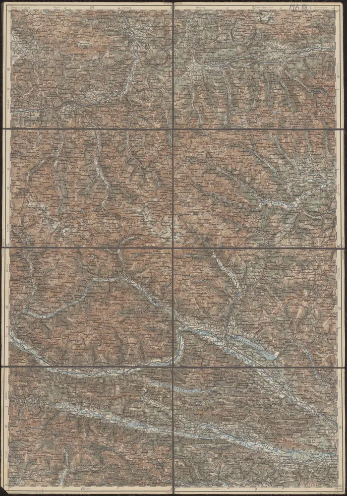
32°47° Klagenfurt
1894
K.u.k. Militärgeographisches Institut