Cataloged map
Devecser und Varoslod.

Full title:Devecser und Varoslod.
Depicted:1914
Physical Size:20 x 30 cm
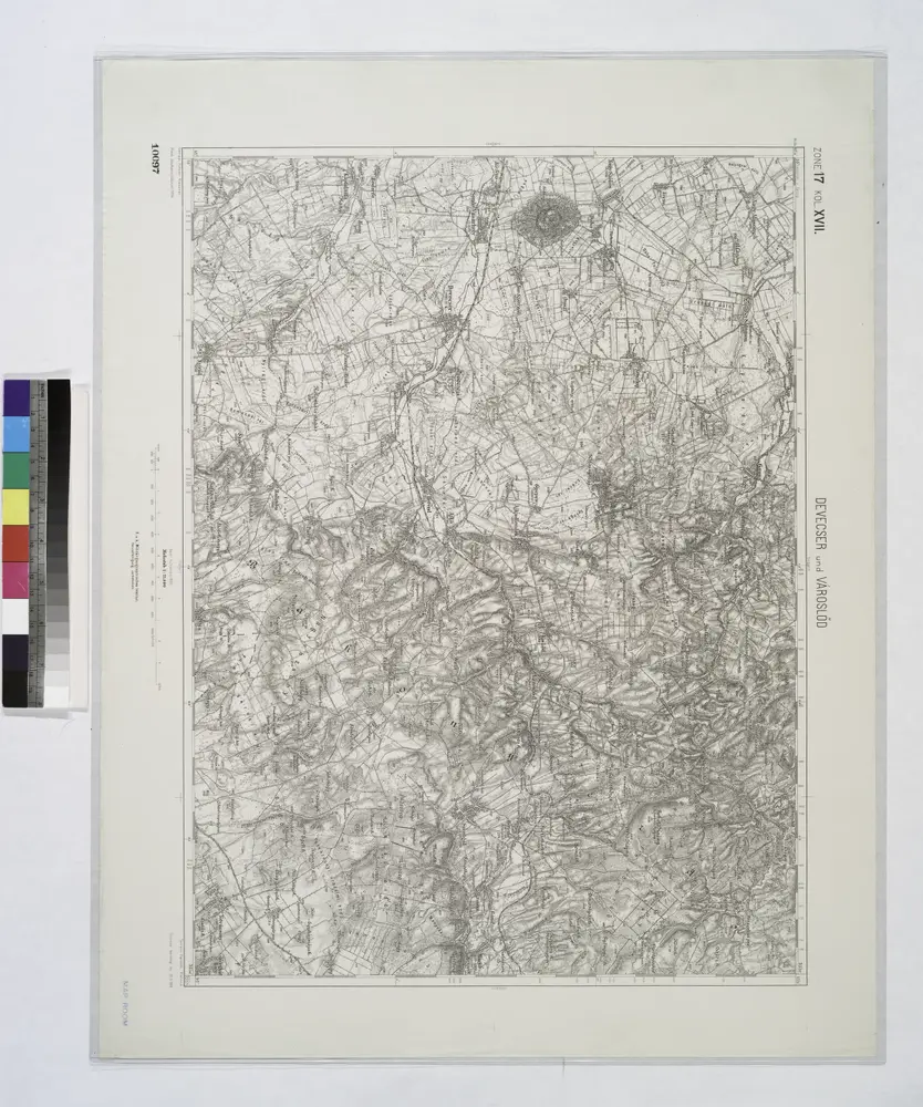
Devecser und Varoslod.
1914
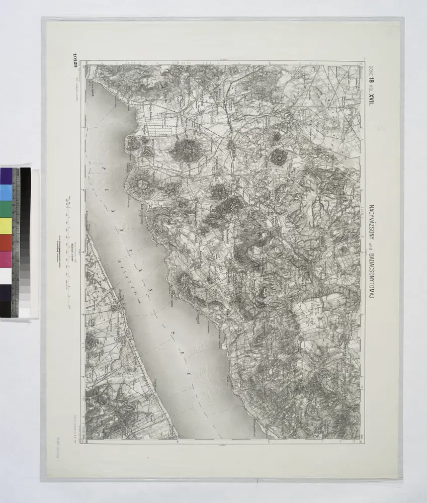
Nagyvazsony und Badacsonytomaj.
1914
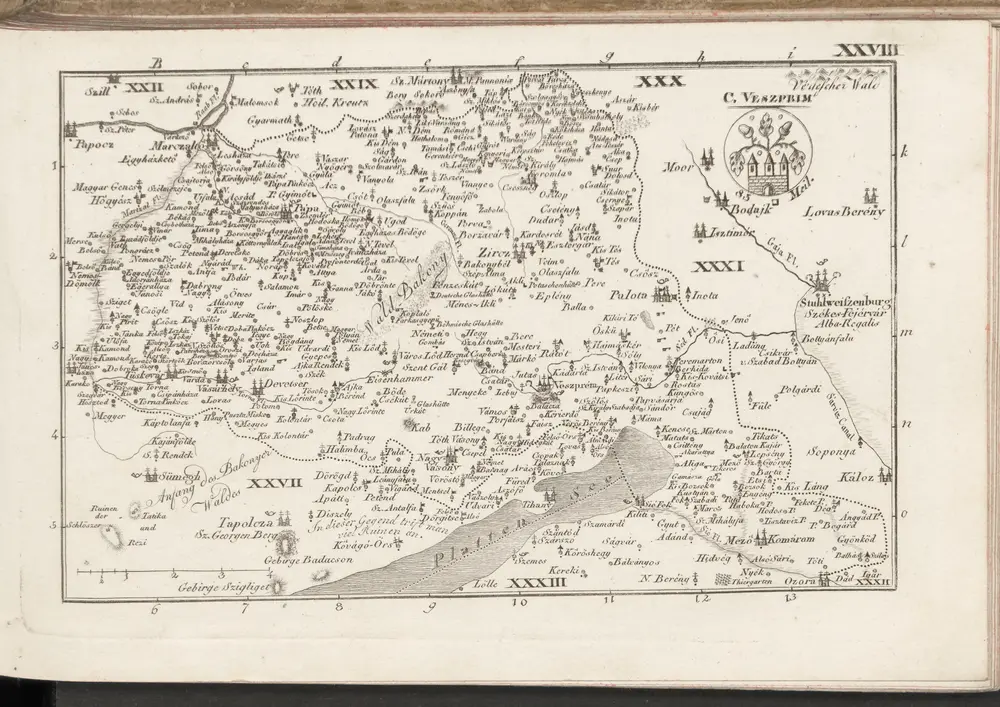
C. Veszprim
1804
n/a
1804
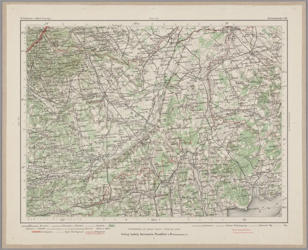
Steinamanger 161, uit: Special-Karte von Mittel-Europa / nach amtlichen Quellen bearbeitet von W. Liebenow
1899
Johannes Wilhelm Liebenow 1822-1897
1:300k
n/a
1804
Veszprémer Comitat
1870
1:280k
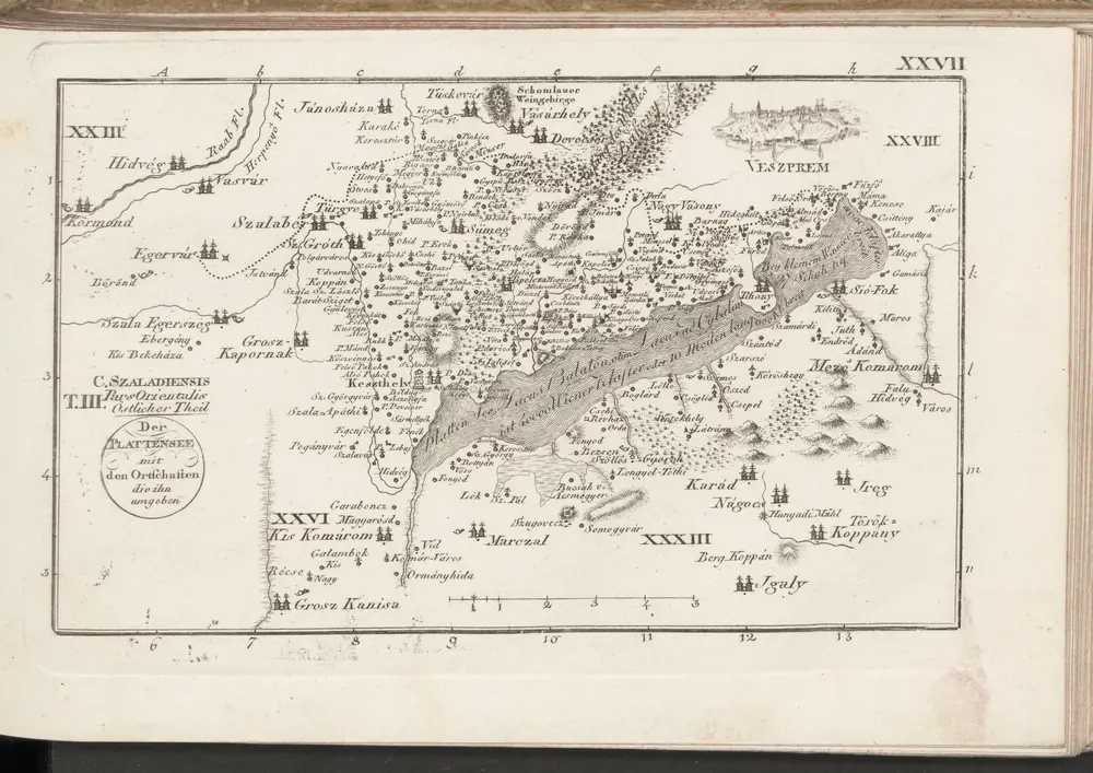
C. Szaladiensis. Tab. III
1804
Comitat Eisenburg
1870
1:290k
n/a
1804