Maps of Bistrița-Năsăud

Maps of Bistrița-Năsăud

$title$

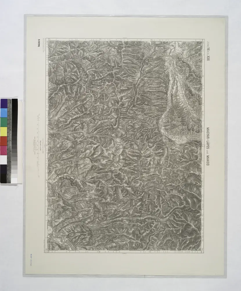
Magyar-Lapos und Makod.

from Spezialkarte der osterreichisch-ungarischen Monarchie.
$title$

Magyar-Lápos

1 : 75000 Târgu Lăpuş, Târgu Lăpuş (Region)
$title$

Lambert-Cholesky sheet 3177 (Lăpuș)

1 : 20000 Romanian military topographic map sheet under Lambert-Cholensky projection Institutul Geografic Militar geo-spatial.org Institutul Geografic Militar
$title$

Lambert-Cholesky sheet 3176 (Boereni)

1 : 20000 Romanian military topographic map sheet under Lambert-Cholensky projection Institutul Geografic Militar geo-spatial.org Institutul Geografic Militar
$title$

Lambert-Cholesky sheet 3175 (Canciul)

1 : 20000 Romanian military topographic map sheet under Lambert-Cholensky projection Institutul Geografic al Armatei geo-spatial.org Institutul Geografic al Armatei
$title$

Lambert-Cholesky sheet 3277 (Larga)

1 : 20000 Romanian military topographic map sheet under Lambert-Cholensky projection Institutul Geografic Militar geo-spatial.org Institutul Geografic Militar
$title$

Lambert-Cholesky sheet 3276 (Agrieș)

1 : 20000 Romanian military topographic map sheet under Lambert-Cholensky projection Institutul Geografic Militar geo-spatial.org Institutul Geografic Militar
$title$

Lambert-Cholesky sheet 3275 (Ciceu Poenii)

1 : 20000 Romanian military topographic map sheet under Lambert-Cholensky projection Direcția Topografică Militară geo-spatial.org Direcția Topografică Militară
$title$

Lambert-Cholesky sheet 3375 (Năsăud)

1 : 20000 Romanian military topographic map sheet under Lambert-Cholensky projection Direcția Topografică Militară geo-spatial.org Direcția Topografică Militară
$title$

Lambert-Cholesky sheet 3376 (Coșbuc)

1 : 20000 Romanian military topographic map sheet under Lambert-Cholensky projection Direcția Topografică Militară geo-spatial.org Direcția Topografică Militară
$title$

Lambert-Cholesky sheet 3377 (Șuplai)

1 : 20000 Romanian military topographic map sheet under Lambert-Cholensky projection Institutul Geografic Militar geo-spatial.org Institutul Geografic Militar
$title$

Lambert-Cholesky sheet 3274 (Beclean)

1 : 20000 Romanian military topographic map sheet under Lambert-Cholensky projection Direcția Topografică Militară geo-spatial.org Direcția Topografică Militară
$title$

Lambert-Cholesky sheet 3174 (Reteag)

1 : 20000 Romanian military topographic map sheet under Lambert-Cholensky projection Institutul Geografic Militar geo-spatial.org Institutul Geografic Militar
$title$

Lambert-Cholesky sheet 3374 (Mogoșeni)

1 : 20000 Romanian military topographic map sheet under Lambert-Cholensky projection Direcția Topografică Militară geo-spatial.org Direcția Topografică Militară
$title$

Lambert-Cholesky sheet 3075 (Galgău)

1 : 20000 Romanian military topographic map sheet under Lambert-Cholensky projection Direcția Topografică Militară geo-spatial.org Direcția Topografică Militară
$title$

Lambert-Cholesky sheet 3076 (Coroeni)

1 : 20000 Romanian military topographic map sheet under Lambert-Cholensky projection Institutul Geografic Militar geo-spatial.org Institutul Geografic Militar
$title$

Lambert-Cholesky sheet 3077 (Măgura)

1 : 20000 Romanian military topographic map sheet under Lambert-Cholensky projection Institutul Geografic Militar geo-spatial.org Institutul Geografic Militar
$title$

Szamosujvar.; Spezialkarte der osterreichisch-ungarischen Monarchie.

from Spezialkarte der osterreichisch-ungarischen Monarchie. Austro-Hungarian Monarchy. Militärgeographisches Institut.,
$title$

Szamosojvár

1 : 75000 Gherla, Judeţ Klausenburg
$title$

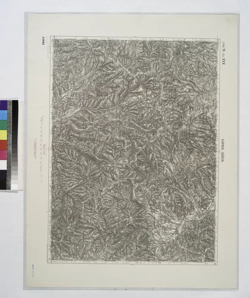
Kapnik-Banya.; Spezialkarte der osterreichisch-ungarischen Monarchie.

from Spezialkarte der osterreichisch-ungarischen Monarchie. Austro-Hungarian Monarchy. Militärgeographisches Institut.,
$title$

Lambert-Cholesky sheet 3074 (Vad)

1 : 20000 Romanian military topographic map sheet under Lambert-Cholensky projection Serviciul Geografic al Armatei geo-spatial.org Serviciul Geografic al Armatei
$title$

Lambert-Cholesky sheet 3178 (Cupşeni)

1 : 20000 Romanian military topographic map sheet under Lambert-Cholensky projection Institutul Geografic Militar geo-spatial.org Institutul Geografic Militar
$title$

Lambert-Cholesky sheet 3278 (Vrf. hudinul)

1 : 20000 Romanian military topographic map sheet under Lambert-Cholensky projection Institutul Geografic Militar geo-spatial.org Institutul Geografic Militar
$title$

Lambert-Cholesky sheet 3378 (Strâmba)

1 : 20000 Romanian military topographic map sheet under Lambert-Cholensky projection Institutul Geografic al Armatei geo-spatial.org Institutul Geografic al Armatei
$title$

Lambert-Cholesky sheet 3078 (Trestia)

1 : 20000 Romanian military topographic map sheet under Lambert-Cholensky projection Institutul Geografic Militar geo-spatial.org Institutul Geografic Militar
$title$

Siebenbürgen

1 : 600000 Siebenbürgen
$title$

$title$

Gaura und Galgo.; Spezialkarte der osterreichisch-ungarischen Monarchie.

from Spezialkarte der osterreichisch-ungarischen Monarchie. Austro-Hungarian Monarchy. Militärgeographisches Institut.,
$title$

Óradna

1 : 75000 Rodna, Rodna (Region)
$title$

Gaura

1 : 75000 Marmarosch
© MapTiler © OpenStreetMap contributors
How does it work?
These instructions will show you how to find historical maps online.
Getting started
Type the place name in the search box to find the exact location. You can further adjust the search by zooming in and out.
Zoom
Zoom in and out with the buttons or use your mouse or touchpad natively.
Exact Area tool
Click here and draw a rectangle over the map to precisely define the search area.
Set filters
Narrow your search with advanced settings, such as Years (from/to), Fulltext, Publisher, etc.
Results
See the results of your search on the right side. You can scroll down to find more maps of this location.
?

Download OldMapsOnline Mobile