Katalogisierte Karte
Papa.

Vollständiger Titel:Papa.
Jahr der Abbildung:1914
Physische Größe:20 x 30 cm

Papa.
1914
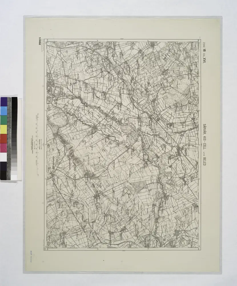
Sarvar, Kis-Cell und Beled.
1914
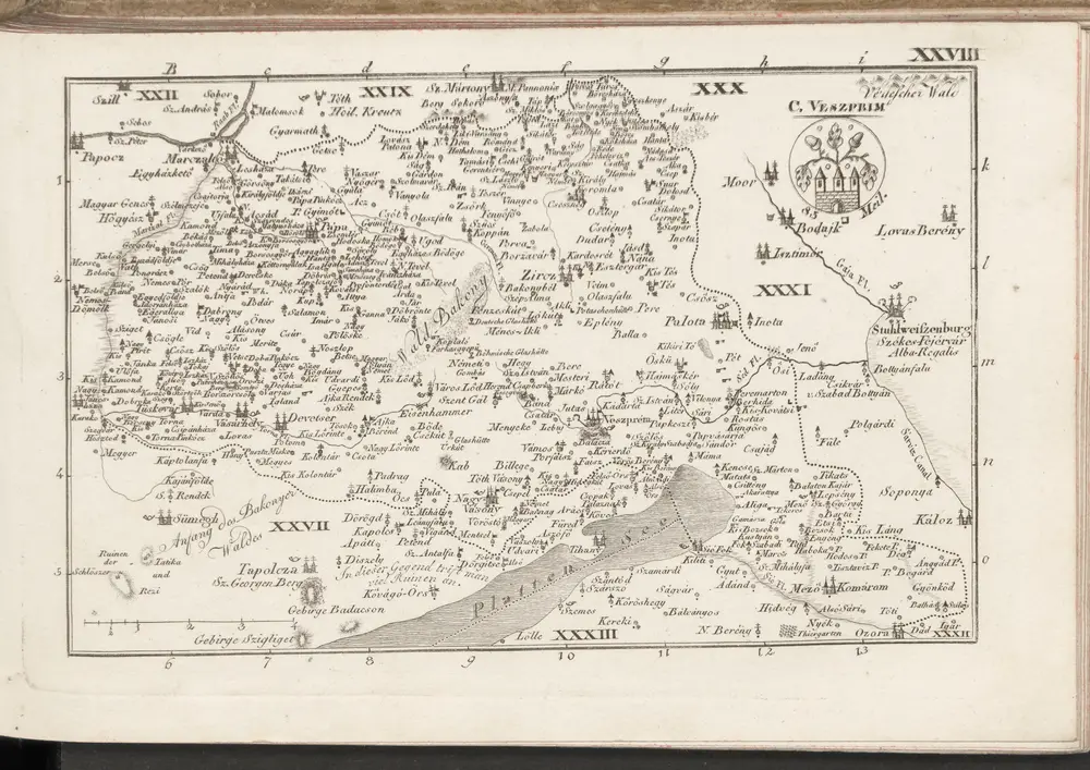
C. Veszprim
1804
n/a
1804
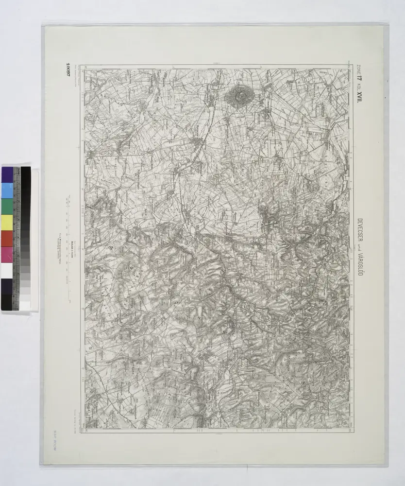
Devecser und Varoslod.
1914
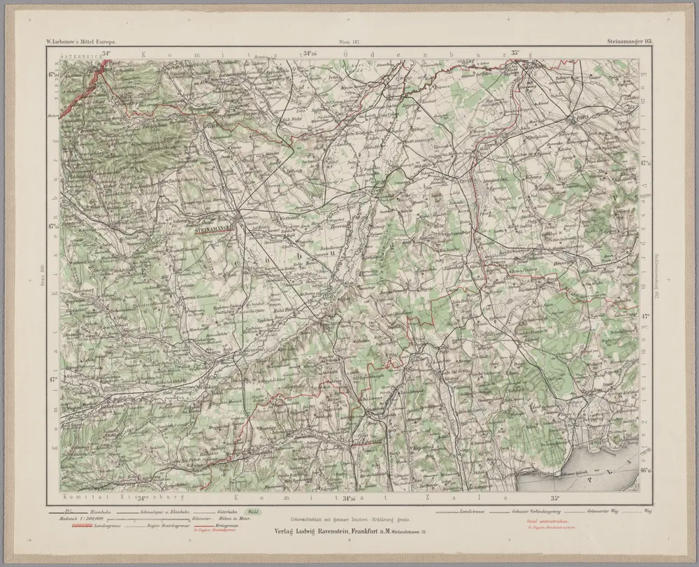
Steinamanger 161, uit: Special-Karte von Mittel-Europa / nach amtlichen Quellen bearbeitet von W. Liebenow
1899
Johannes Wilhelm Liebenow 1822-1897
1:300k
Veszprémer Comitat
1870
1:280k
Comitat Eisenburg
1870
1:290k
n/a
1804
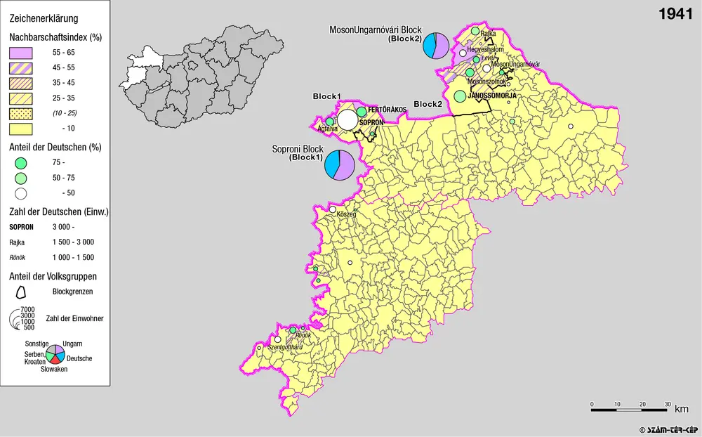
Siedlungsgebiet der Deutschen nach dem Nachbarschaftsindex für Westungarn 1941
1941
Bottlik, Zsolt