Project
Community
News
My maps
Cataloged map
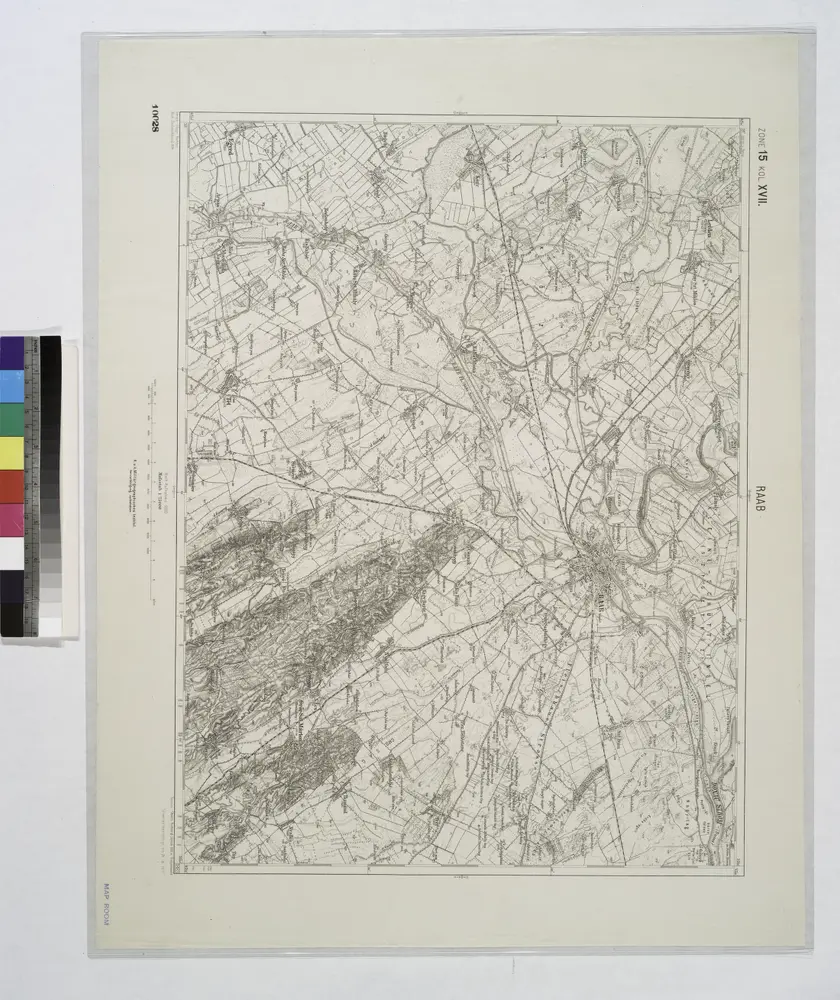
Raab.
View on external website
Full title:
Raab.
Depicted:
1914
Physical Size:
20 x 30 cm
Catalog
maps.nypl.org
Raab.
1914
n/a
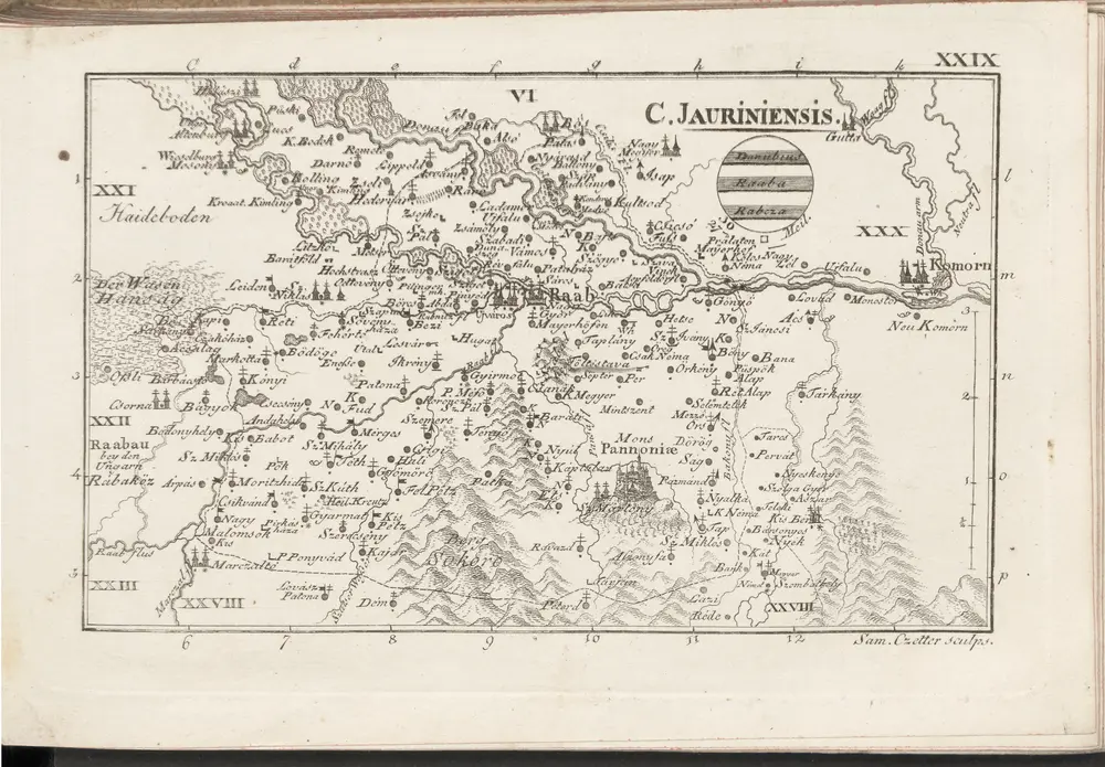
1804
C. Jauriniensis
1804
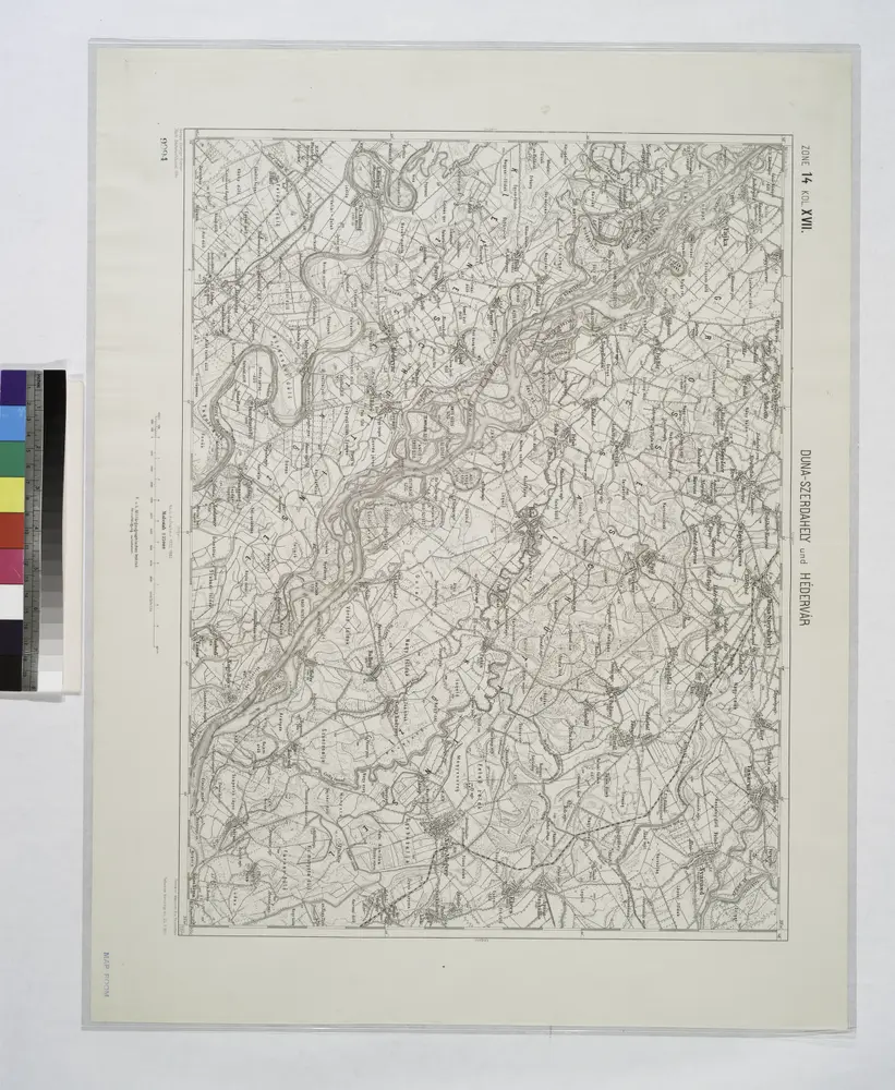
Duna-Szerdahely und Hedervar.
1914
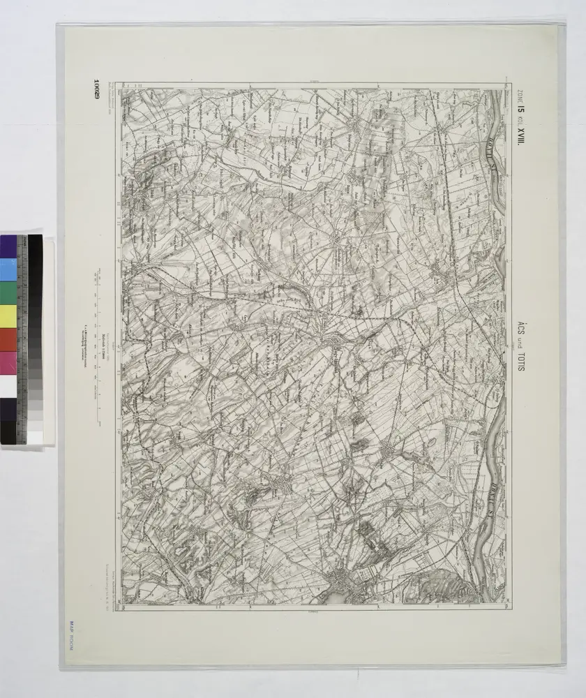
Acs und Totis.
1914
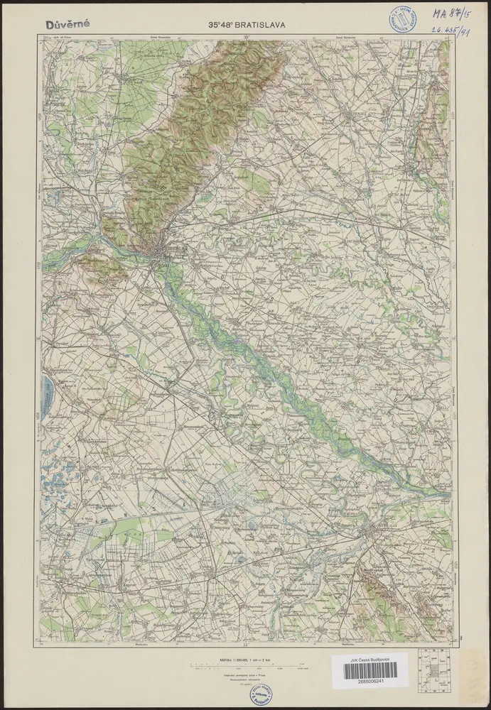
35°48° Bratislava
1946
Vojenský zeměpisný ústav
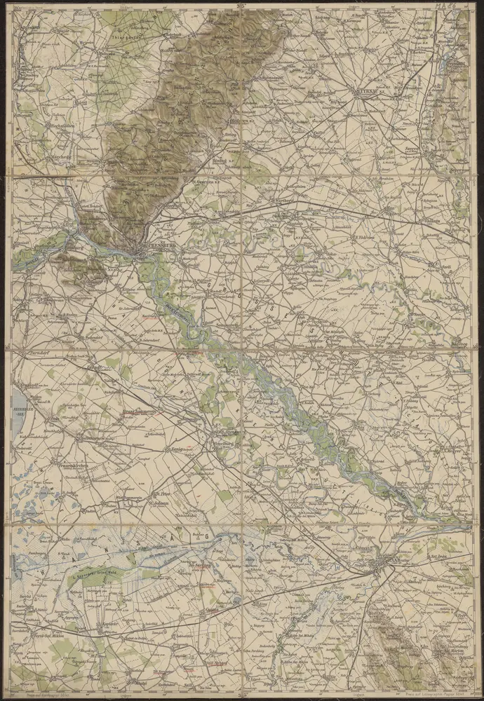
35°48° Pressburg
1889
K.u.k. Militärgeographisches Institut
Papa.
1914
Oedenburger und Raaber Comitat
1870
1:280k
n/a
1804
History